Wilkins' Pool

Lake, Pool, Pond, Freshwater Marsh in Cumberland Carlisle

England

Wilkins' Pool

A section of hedge and tree-lined minor road beside Fauldmoor Wood Looking southward towards Woodside.
A section of hedge and tree-lined minor road beside Fauldmoor Wood Credit: Peter Wood

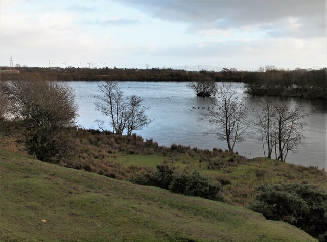
Wilkins' Pool, located in Cumberland, is a serene and picturesque freshwater marsh that offers visitors a unique and tranquil experience. This natural wonder is nestled in the heart of Cumberland, surrounded by lush greenery and diverse wildlife.

The pool itself is a small, shallow body of water, covering an area of approximately 5 acres. Its crystal-clear waters are fed by a combination of rainfall, underground springs, and nearby streams, ensuring a constant supply of fresh water. The pool's depth varies throughout the year, with the average depth ranging from 3 to 6 feet.

Surrounding the pool is a vibrant ecosystem, teeming with a wide array of flora and fauna. The marsh is home to numerous species of water plants, including cattails, water lilies, and duckweed, which create a vibrant and colorful landscape. These plants provide a vital habitat for various aquatic creatures, such as frogs, salamanders, and turtles.

Birdwatchers flock to Wilkins' Pool to observe the diverse birdlife that calls this area home. Visitors may spot species such as herons, egrets, ducks, and various songbirds, making it a haven for bird enthusiasts.

The pool also offers recreational activities for visitors, including fishing and boating. Anglers can try their luck catching species such as bass, sunfish, and catfish, while boaters can peacefully navigate the calm waters, taking in the breathtaking scenery.

Wilkins' Pool is a natural gem tucked away in Cumberland, offering visitors a chance to connect with nature and immerse themselves in its serene beauty. Whether it's observing the wildlife, casting a fishing line, or simply enjoying the peaceful surroundings, this freshwater marsh provides a memorable experience for all who visit.

If you have any feedback on the listing, please let us know in the comments section below.

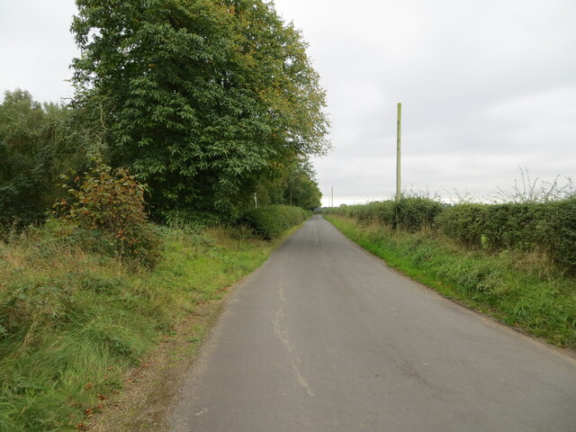
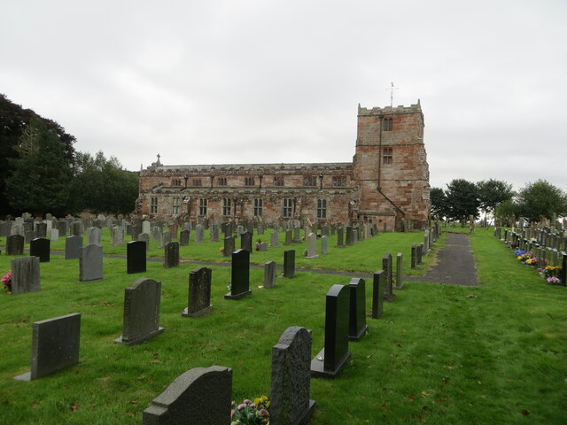
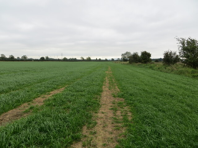
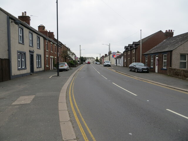
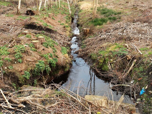
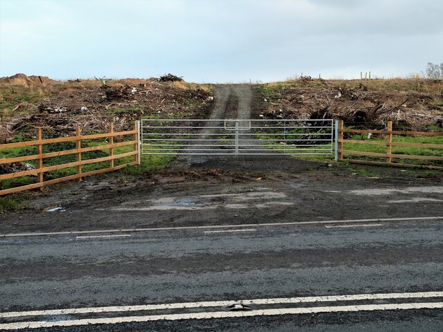
Wilkins' Pool Images

Images are sourced within 2km of 55.001048/-2.9881875 or Grid Reference NY3667. Thanks to Geograph Open Source API. All images are credited.

A section of hedge and tree-lined minor road beside Fauldmoor Wood Looking southward towards Woodside.
A section of hedge and tree-lined minor road beside Fauldmoor Wood
Looking southward towards Woodside.
The Church of St Michael & All Angels with part of its Burial Ground at Arthuret Viewed from the north-west.
The Church of St Michael & All Angels with part of its Burial Ground at Arthuret
Viewed from the north-west.
Field path to Brisco Hill Bridge Looking south-eastward.
Field path to Brisco Hill Bridge
Looking south-eastward.
Bridge Street (A7), Longtown Looking south-eastward.
Bridge Street (A7), Longtown
Looking south-eastward.
Swan Street, Longtown Looking north-eastward.
Swan Street, Longtown
Looking north-eastward.
Bush Hotel Longtown Situated at the junction of Netherby Street and Bridge Street in Longtown, the empty building that was the Bush Hotel.
Bush Hotel Longtown
Situated at the junction of Netherby Street and Bridge Street in Longtown, the empty building that was the Bush Hotel.
Saint Andrews Church of Scotland Looking towards the church along the walkway leading from Bridge Street in Longtown.
Saint Andrews Church of Scotland
Looking towards the church along the walkway leading from Bridge Street in Longtown.
Border Vets Longtown Carrying out business as a mixed vet practice situated off the A7 opposite C&D Auction Mart.
Border Vets Longtown
Carrying out business as a mixed vet practice situated off the A7 opposite C&D Auction Mart.
The Lodge Longtown Situate off the A6071 on the left heading away from the A7 towards Gretna Green.
The Lodge Longtown
Situate off the A6071 on the left heading away from the A7 towards Gretna Green.
Old Railway line Looking down onto the remains of the track from the old railway bridge situated on the A6071. Image from 2014 <a title="https://www.geograph.org.uk/photo/3831017" href="https://www.geograph.org.uk/photo/3831017">Link</a>
Old Railway line
Looking down onto the remains of the track from the old railway bridge situated on the A6071. Image from 2014 Link
High Gaitle Caravan Park The entrance to the High Gaitle Caravan Park situated on the A6071 at Longtown.
High Gaitle Caravan Park
The entrance to the High Gaitle Caravan Park situated on the A6071 at Longtown.
Green Mill Road Entrance to Green Mill Road off the A6071 Longtown.
Green Mill Road
Entrance to Green Mill Road off the A6071 Longtown.
Drainage ditch Situated off the A6071 on the left just past Green Mill Road as you head towards Gretna Green.
Drainage ditch
Situated off the A6071 on the left just past Green Mill Road as you head towards Gretna Green.
Gateway A6071 What looks like a gateway to a logging track situated off the A6071. Woodland has recently been cleared from this site.
Gateway A6071
What looks like a gateway to a logging track situated off the A6071. Woodland has recently been cleared from this site.
Ordnance Survey Cut Mark with Bolt This mark and bolt can be found on the wall of St Michael's Church, Arthuret.
The recorded detail give a height of 25.1192 metres above sea level.
For more details see : <span class="nowrap"><a title="https://www.bench-marks.org.uk/bm25249" rel="nofollow ugc noopener" href="https://www.bench-marks.org.uk/bm25249">Link</a><img style="margin-left:2px;" alt="External link" title="External link - shift click to open in new window" src="https://s1.geograph.org.uk/img/external.png" width="10" height="10"/></span>
Ordnance Survey Cut Mark with Bolt
This mark and bolt can be found on the wall of St Michael's Church, Arthuret. The recorded detail give a height of 25.1192 metres above sea level. For more details see : LinkExternal link
Ordnance Survey Flush Bracket 1450 This bracket can be found on the parapet wall of Longtown Bridge.
The recorded details give a height of 17.2376 metres above sea level.
For more details see : <span class="nowrap"><a title="https://www.bench-marks.org.uk/bm10286" rel="nofollow ugc noopener" href="https://www.bench-marks.org.uk/bm10286">Link</a><img style="margin-left:2px;" alt="External link" title="External link - shift click to open in new window" src="https://s1.geograph.org.uk/img/external.png" width="10" height="10"/></span>
Ordnance Survey Flush Bracket 1450
This bracket can be found on the parapet wall of Longtown Bridge. The recorded details give a height of 17.2376 metres above sea level. For more details see : LinkExternal link
Longtown High Street
Carlisle 9 milestone on east side of A7 The Ordnance Survey rivet benchmark on top of the stone was levelled at 14.411m above Newlyn Datum verified in 1974. The 1888-1913 OS 6" Map shows a benchmark on the stone levelled at 47.0 feet (14.3m) above Liverpool Datum
Carlisle 9 milestone on east side of A7
The Ordnance Survey rivet benchmark on top of the stone was levelled at 14.411m above Newlyn Datum verified in 1974. The 1888-1913 OS 6" Map shows a benchmark on the stone levelled at 47.0 feet (14.3m) above Liverpool Datum
Show me another place!

Wilkins' Pool is located at Grid Ref: NY3667 (Lat: 55.001048, Lng: -2.9881875)

Administrative County: Cumbria

District: Carlisle

Police Authority: Cumbria

What 3 Words

///cheek.helped.somebody. Near Longtown, Cumbria

Nearby Locations

Wilkins' Pool

Related Wikis

2020s in United Kingdom political history

2020s political history refers to significant political and societal historical events in the United Kingdom in the 2020s, presented as a historical overview...

United Kingdom

The United Kingdom of Great Britain and Northern Ireland, commonly known as the United Kingdom (UK) or Britain, is a country in Northwestern Europe, off...

Longtown railway station

Longtown railway station served the town of Longtown, Cumbria, England, from 1861 to 1970 on the Waverley Route. == History == The station opened on 29...

Longtown, Cumbria

Longtown is a market town in Cumbria, England, just south of the Scottish Border. It has a sheep market which was at the centre of the 2001 United Kingdom...

Nearby Amenities

Located within 500m of 55.001048,-2.9881875
Source: PGS
Lat/Long: 54.9968469/-2.9854701
Source: PGS
Lat/Long: 54.9971883/-2.9858757
Source: PGS
Lat/Long: 54.9975767/-2.986335
Source: PGS
Lat/Long: 54.9979981/-2.9868816
Source: PGS
Lat/Long: 54.9982624/-2.9871434
Source: PGS
Lat/Long: 54.9987171/-2.9877289
Source: PGS
Lat/Long: 54.9990911/-2.9881852
Source: PGS
Lat/Long: 54.9993114/-2.98843
Source: PGS
Lat/Long: 54.9994184/-2.988551
Source: PGS
Lat/Long: 54.9995905/-2.9884328
Source: PGS
Lat/Long: 54.9994909/-2.9877536
Source: PGS
Lat/Long: 54.9991452/-2.9873298
Source: PGS
Lat/Long: 54.9988162/-2.9868819
Source: PGS
Lat/Long: 54.9983629/-2.9863751
Source: PGS
Lat/Long: 54.9980516/-2.9859648
Source: PGS
Lat/Long: 54.9977535/-2.985681
Source: PGS
Lat/Long: 54.9973146/-2.9851974
Railway: switch
Lat/Long: 55.0022181/-2.9937109
Railway: switch
Lat/Long: 55.0025584/-2.9946303
Railway: buffer_stop
Lat/Long: 55.0011583/-2.9931172
Railway: buffer_stop
Lat/Long: 55.0012092/-2.9929816
Railway: switch
Lat/Long: 55.0020344/-2.9934629
Railway: switch
Lat/Long: 55.0023467/-2.9939453
Railway: switch
Lat/Long: 55.0026028/-2.9948888
Railway: buffer_stop
Lat/Long: 55.0031596/-2.9946024
Entrance: main
Lat/Long: 54.998078/-2.9925889
Entrance: main
Lat/Long: 54.9984622/-2.9916929
Entrance: main
Lat/Long: 54.9992555/-2.9927303
Entrance: main
Lat/Long: 54.9988719/-2.9936165
Entrance: main
Lat/Long: 54.9995223/-2.9944495
Entrance: main
Lat/Long: 54.9998975/-2.993559
Entrance: main
Lat/Long: 55.0005376/-2.9944017
Entrance: main
Lat/Long: 55.0001661/-2.9952863
Entrance: main
Lat/Long: 55.0011876/-2.9952414
Entrance: main
Lat/Long: 54.9978097/-2.9908622
Entrance: main
Lat/Long: 54.997428/-2.9917543
Entrance: main
Lat/Long: 54.9971669/-2.9900328
Power: pole
Lat/Long: 55.0042645/-2.9827178
Power: pole
Lat/Long: 55.0044863/-2.9842946
Power: pole
Lat/Long: 55.0047112/-2.9858929
Power: pole
Lat/Long: 55.0049361/-2.9875584
Power: pole
Lat/Long: 55.0051641/-2.9891889
The data included in this document is from www.openstreetmap.org. The data is made available under ODbL.

Have you been to Wilkins' Pool?

Leave your review of Wilkins' Pool below (or comments, questions and feedback).