Paddock Pool

Lake, Pool, Pond, Freshwater Marsh in Shropshire

England

Paddock Pool

Back to A5 at Shotatton cross roads From Shotatton direction
Back to A5 at Shotatton cross roads Credit: John Firth

Paddock Pool is a picturesque freshwater body located in the county of Shropshire, England. Nestled in a tranquil rural area, this natural feature encompasses a combination of a lake, pool, pond, and freshwater marsh, making it a diverse and vibrant ecosystem.

The pool itself spans approximately 2 hectares, with crystal-clear waters that reflect the surrounding landscape. Surrounded by lush vegetation, including reeds and water lilies, Paddock Pool offers a serene and idyllic setting for both wildlife and visitors alike.

The pool is home to a variety of aquatic species, such as freshwater fish, including carp and roach, as well as amphibians like frogs and newts. The diverse vegetation provides habitats for numerous bird species, including mallards, herons, and kingfishers, which can often be spotted gracefully gliding across the water or perched on the branches nearby.

The freshwater marsh adjoining the pool adds to the richness of the ecosystem, with its unique array of plants, including sedges and rushes, providing shelter and food for a wide range of invertebrates and small mammals.

Paddock Pool is a popular destination for nature enthusiasts, birdwatchers, and anglers. It offers a peaceful environment for those seeking a moment of tranquility amidst the stunning natural surroundings. Visitors can enjoy leisurely walks around the pool, observing the diverse wildlife, or indulge in fishing activities, appreciating the abundance of fish species residing within the pool.

Overall, Paddock Pool in Shropshire is a haven of natural beauty and biodiversity, offering a captivating glimpse into the wonders of the local ecosystem.

If you have any feedback on the listing, please let us know in the comments section below.
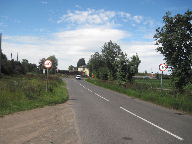
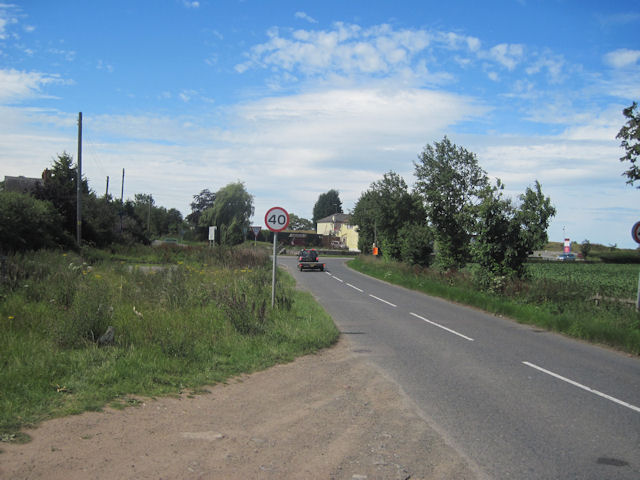
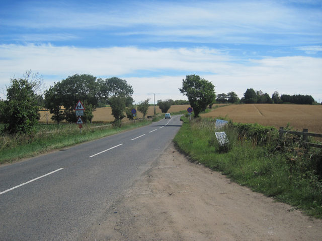
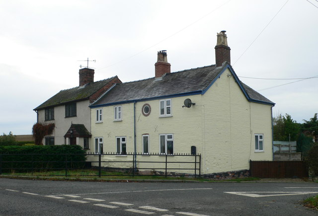
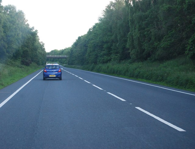
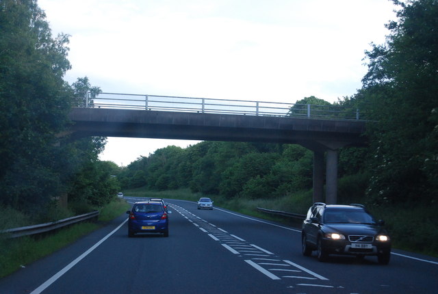
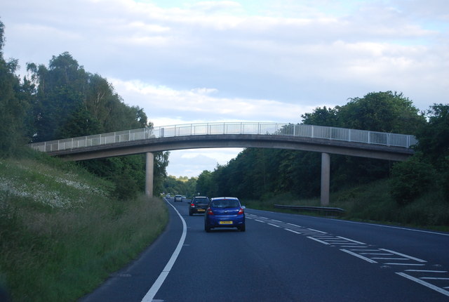
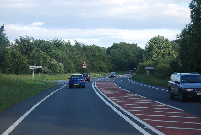
Paddock Pool Images

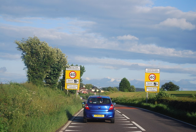
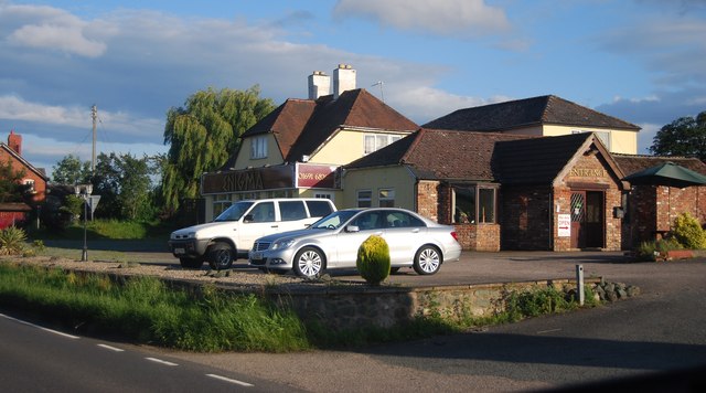
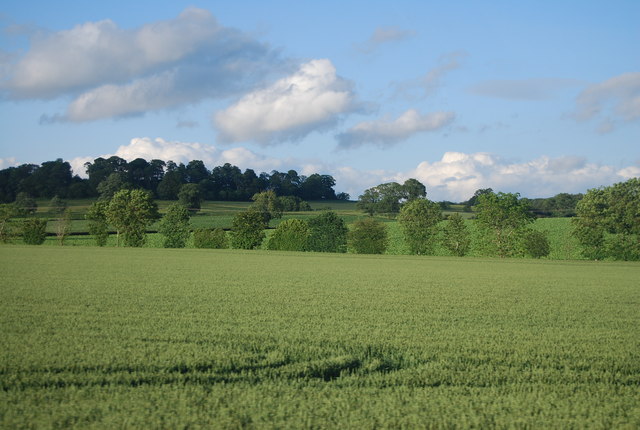
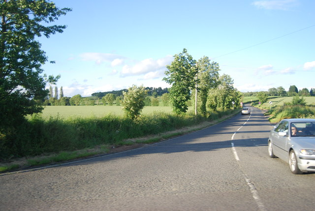
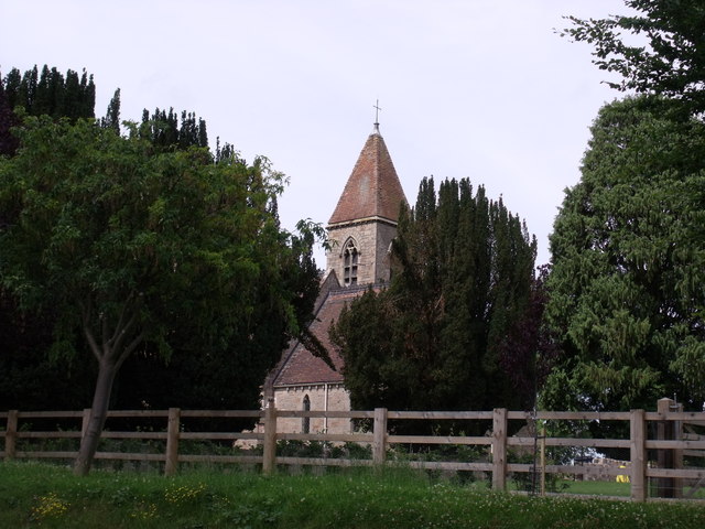
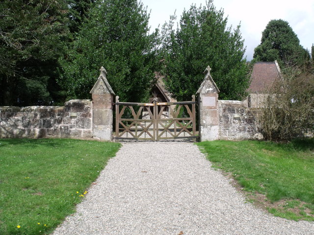
Images are sourced within 2km of 52.815821/-2.951695 or Grid Reference SJ3524. Thanks to Geograph Open Source API. All images are credited.

Back to A5 at Shotatton cross roads From Shotatton direction
Back to A5 at Shotatton cross roads
From Shotatton direction
B4397 approaching A5 At Shotatton looking south
B4397 approaching A5
At Shotatton looking south
B4397 looking towards Shotatton From north of A5
B4397 looking towards Shotatton
From north of A5
Cottages at the Sandford Junction with the A5
A5 near West Felton The A5 is a major trunk road that runs 260 miles from London to Holyhead. It follows the course of an old Roman Road (Watling Street).
Wikipedia: <span class="nowrap"><a title="http://en.wikipedia.org/wiki/A5_road_(Great_Britain)" rel="nofollow ugc noopener" href="http://en.wikipedia.org/wiki/A5_road_(Great_Britain)">Link</a><img style="margin-left:2px;" alt="External link" title="External link - shift click to open in new window" src="https://s1.geograph.org.uk/img/external.png" width="10" height="10"/></span>
A5 near West Felton
The A5 is a major trunk road that runs 260 miles from London to Holyhead. It follows the course of an old Roman Road (Watling Street). Wikipedia: LinkExternal link
The Avenue overbridge, A5 The A5 is a major trunk road that runs 260 miles from London to Holyhead. It follows the course of an old Roman Road (Watling Street).
Wikipedia: <span class="nowrap"><a title="http://en.wikipedia.org/wiki/A5_road_(Great_Britain)" rel="nofollow ugc noopener" href="http://en.wikipedia.org/wiki/A5_road_(Great_Britain)">Link</a><img style="margin-left:2px;" alt="External link" title="External link - shift click to open in new window" src="https://s1.geograph.org.uk/img/external.png" width="10" height="10"/></span>
The Avenue overbridge, A5
The A5 is a major trunk road that runs 260 miles from London to Holyhead. It follows the course of an old Roman Road (Watling Street). Wikipedia: LinkExternal link
Footbridge over the A5, West Felton The A5 is a major trunk road that runs 260 miles from London to Holyhead. It follows the course of an old Roman Road (Watling Street).
Wikipedia: <span class="nowrap"><a title="http://en.wikipedia.org/wiki/A5_road_(Great_Britain)" rel="nofollow ugc noopener" href="http://en.wikipedia.org/wiki/A5_road_(Great_Britain)">Link</a><img style="margin-left:2px;" alt="External link" title="External link - shift click to open in new window" src="https://s1.geograph.org.uk/img/external.png" width="10" height="10"/></span>
Footbridge over the A5, West Felton
The A5 is a major trunk road that runs 260 miles from London to Holyhead. It follows the course of an old Roman Road (Watling Street). Wikipedia: LinkExternal link
A5, West Felton turning The A5 is a major trunk road that runs 260 miles from London to Holyhead. It follows the course of an old Roman Road (Watling Street).
Wikipedia: <span class="nowrap"><a title="http://en.wikipedia.org/wiki/A5_road_(Great_Britain)" rel="nofollow ugc noopener" href="http://en.wikipedia.org/wiki/A5_road_(Great_Britain)">Link</a><img style="margin-left:2px;" alt="External link" title="External link - shift click to open in new window" src="https://s1.geograph.org.uk/img/external.png" width="10" height="10"/></span>
A5, West Felton turning
The A5 is a major trunk road that runs 260 miles from London to Holyhead. It follows the course of an old Roman Road (Watling Street). Wikipedia: LinkExternal link
A5, Sandford turning The A5 is a major trunk road that runs 260 miles from London to Holyhead. It follows the course of an old Roman Road (Watling Street).
Wikipedia: <span class="nowrap"><a title="http://en.wikipedia.org/wiki/A5_road_(Great_Britain)" rel="nofollow ugc noopener" href="http://en.wikipedia.org/wiki/A5_road_(Great_Britain)">Link</a><img style="margin-left:2px;" alt="External link" title="External link - shift click to open in new window" src="https://s1.geograph.org.uk/img/external.png" width="10" height="10"/></span>
A5, Sandford turning
The A5 is a major trunk road that runs 260 miles from London to Holyhead. It follows the course of an old Roman Road (Watling Street). Wikipedia: LinkExternal link
Blind Summit, A5 The A5 is a major trunk road that runs 260 miles from London to Holyhead. It follows the course of an old Roman Road (Watling Street).
Wikipedia: <span class="nowrap"><a title="http://en.wikipedia.org/wiki/A5_road_(Great_Britain)" rel="nofollow ugc noopener" href="http://en.wikipedia.org/wiki/A5_road_(Great_Britain)">Link</a><img style="margin-left:2px;" alt="External link" title="External link - shift click to open in new window" src="https://s1.geograph.org.uk/img/external.png" width="10" height="10"/></span>
Blind Summit, A5
The A5 is a major trunk road that runs 260 miles from London to Holyhead. It follows the course of an old Roman Road (Watling Street). Wikipedia: LinkExternal link
A5, Long Oak The A5 is a major trunk road that runs 260 miles from London to Holyhead. It follows the course of an old Roman Road (Watling Street).
Wikipedia: <span class="nowrap"><a title="http://en.wikipedia.org/wiki/A5_road_(Great_Britain)" rel="nofollow ugc noopener" href="http://en.wikipedia.org/wiki/A5_road_(Great_Britain)">Link</a><img style="margin-left:2px;" alt="External link" title="External link - shift click to open in new window" src="https://s1.geograph.org.uk/img/external.png" width="10" height="10"/></span>
A5, Long Oak
The A5 is a major trunk road that runs 260 miles from London to Holyhead. It follows the course of an old Roman Road (Watling Street). Wikipedia: LinkExternal link
Farmland by the A5
Farmland by the A5
A5 approaching Shottaton Crossroads The A5 is a major trunk road that runs 260 miles from London to Holyhead. It follows the course of an old Roman Road (Watling Street).
Wikipedia: <span class="nowrap"><a title="http://en.wikipedia.org/wiki/A5_road_(Great_Britain)" rel="nofollow ugc noopener" href="http://en.wikipedia.org/wiki/A5_road_(Great_Britain)">Link</a><img style="margin-left:2px;" alt="External link" title="External link - shift click to open in new window" src="https://s1.geograph.org.uk/img/external.png" width="10" height="10"/></span>
A5 approaching Shottaton Crossroads
The A5 is a major trunk road that runs 260 miles from London to Holyhead. It follows the course of an old Roman Road (Watling Street). Wikipedia: LinkExternal link
Enigma Restaurant Roadside restaurant at Shottaton Crossroads.
Enigma Restaurant
Roadside restaurant at Shottaton Crossroads.
Wheat field by the A5
Minor road of the A5 at Shottaton Crossroads
Pradoe Church, Shropshire Pradoe Church viewed from the car park.
Pradoe Church, Shropshire
Pradoe Church viewed from the car park.
Pradoe Church, Shropshire
Show me another place!

Paddock Pool is located at Grid Ref: SJ3524 (Lat: 52.815821, Lng: -2.951695)

Unitary Authority: Shropshire

Police Authority: West Mercia

What 3 Words

///spoils.rags.movies. Near Ruyton-XI-Towns, Shropshire

Nearby Locations

Foxholes Pool Paddock Pool

Related Wikis

Shelvock Manor

Shelvock Manor is a house and grounds in a township of the same name near Shrewsbury, Shropshire, England. It was once a place of local importance, and...

West Felton

West Felton is a village and civil parish near Oswestry in Shropshire, England. At the 2001 census the parish, which also includes the settlements of Rednal...

Grimpo

Grimpo is a small hamlet in Shropshire, England. Its unusual name was formerly written Grimpool, and is possibly based on an Old English personal name...

Haughton Halt railway station

Haughton Halt was a minor station located north of Shrewsbury on the GWR's Paddington to Birkenhead main line. It was opened in the nineteen thirties as...

Nearby Amenities

Located within 500m of 52.815821,-2.951695
Place: farm
Lat/Long: 52.8178764/-2.9500982
The data included in this document is from www.openstreetmap.org. The data is made available under ODbL.

Have you been to Paddock Pool?

Leave your review of Paddock Pool below (or comments, questions and feedback).