Top Reservoir
Lake, Pool, Pond, Freshwater Marsh in Denbighshire
Wales
Top Reservoir
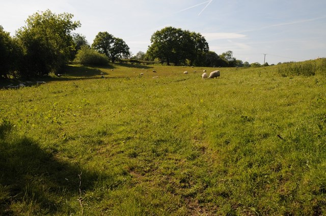
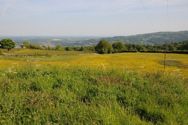
Top Reservoir, located in Denbighshire, Wales, is a man-made freshwater reservoir that serves as a vital source of drinking water for the local community. Covering an area of approximately 150 acres, the reservoir lies amidst the picturesque landscape of the Clwydian Range, offering breathtaking views and a tranquil environment.
Initially constructed in the 1930s, Top Reservoir was designed to regulate the flow of water from the Clwydian uplands, ensuring a stable supply throughout the year. The reservoir is fed by several small streams that converge into a single inlet, providing a steady flow of fresh water. It is also equipped with a dam that helps maintain the water level and prevent flooding downstream.
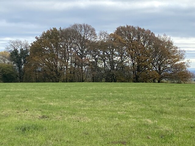
The diverse aquatic ecosystem of Top Reservoir supports a variety of flora and fauna. The clear, clean waters host species such as rainbow trout, brown trout, and perch, making it a popular spot for fishing enthusiasts. The surrounding area is rich in vegetation, with reeds and rushes dominating the freshwater marshes and providing a habitat for various bird species, including herons, ducks, and swans.
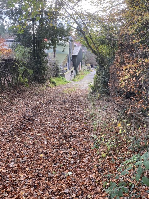
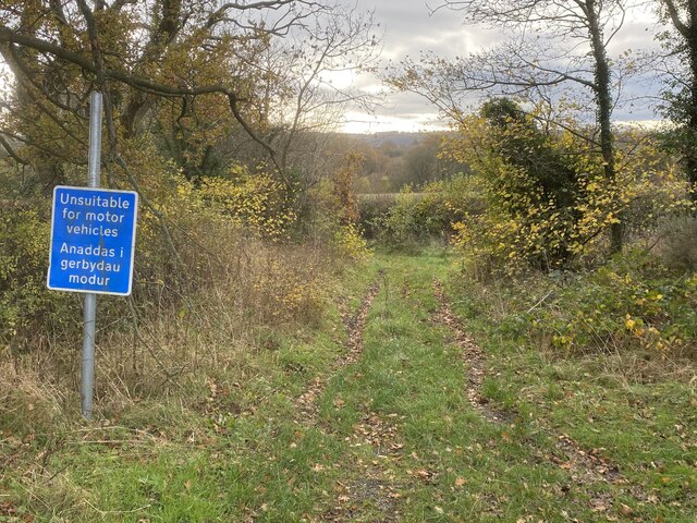
In addition to its ecological significance, Top Reservoir serves as a recreational area for locals and visitors alike. The reservoir is surrounded by walking trails, offering opportunities for leisurely strolls and birdwatching. The calm waters also attract kayakers and canoeists, who enjoy the serene atmosphere and the chance to explore the surrounding nature.
Overall, Top Reservoir in Denbighshire is a valuable water resource, a haven for wildlife, and a place of relaxation and outdoor activities for all who visit.
If you have any feedback on the listing, please let us know in the comments section below.
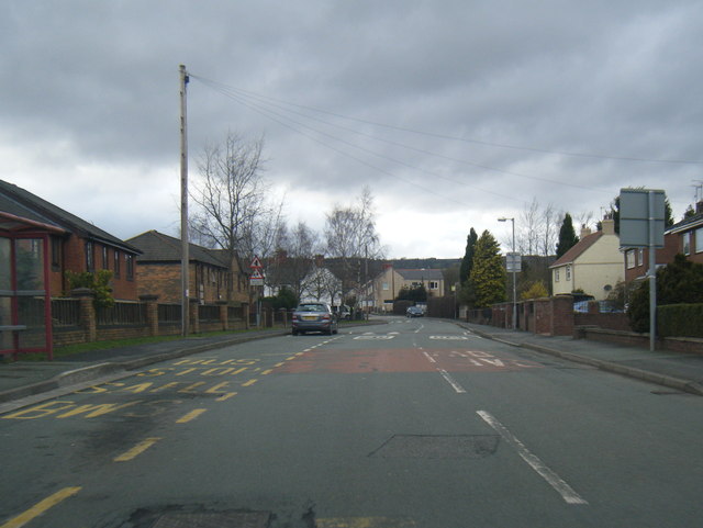
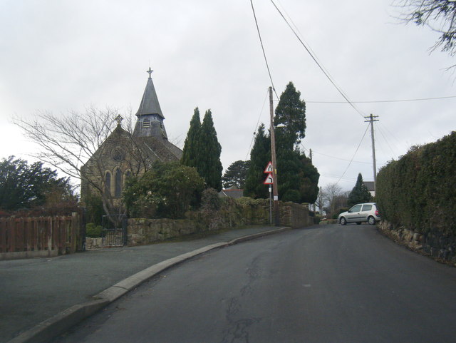
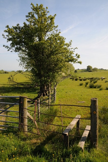
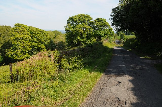
Top Reservoir Images
Images are sourced within 2km of 53.000142/-3.0930283 or Grid Reference SJ2645. Thanks to Geograph Open Source API. All images are credited.


Top Reservoir is located at Grid Ref: SJ2645 (Lat: 53.000142, Lng: -3.0930283)
Unitary Authority: Wrexham
Police Authority: North Wales
What 3 Words
///comedians.rephrase.outline. Near Rhosllanerchrugog, Wrexham
Nearby Locations
Related Wikis

Pen-y-cae, Wrexham
Pen-y-cae is a village and community in Wrexham County Borough, Wales. The population of the community taken at the 2011 census was 3,389. It adjoins the...

Penycae F.C.
Penycae Football Club is a Welsh football club based in Pen-y-cae, Wrexham whose first team currently plays in the Ardal Leagues North East. Following...
Pant Halt railway station
Pant Halt railway station served the hamlet of Pant-pastynog, Denbighshire, Wales, from 1905 to 1915 on the Pontcysyllte branch. == History == The station...
Wynn Hall
Wynn Hall is a 17th-century house in the old hamlet of Bodylltyn in Ruabon, Wrexham, Wales standing at the junction of the Penycae Road and Plas Bennion...
Related Videos

Walking Across Pontcysyllte Aquaduct And Back Again
Telford's Creation.

Walking the Pontcysyllte Aqueduct: Breathtaking Feat of Engineering, Llangollen, Wales, UK (Sep'23)
Welcome to my latest walk in Wales! Join me as we explore the breathtaking Pontcysyllte Aqueduct and the charming Pontcysyllte ...

Walking Tour - Pontcysyllte Aqueduct【4K HDR】 🚶 🇬🇧
walkingtour #virtualwalk #aquaduct ✔️Support the Channel! Please help here! https://www.paypal.me/steviesvlogs ✔️ Why ...

Nearby Amenities
Located within 500m of 53.000142,-3.0930283Have you been to Top Reservoir?
Leave your review of Top Reservoir below (or comments, questions and feedback).