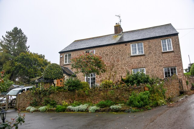
Hill Head Pond
Lake, Pool, Pond, Freshwater Marsh in Somerset Somerset West and Taunton
England
Hill Head Pond
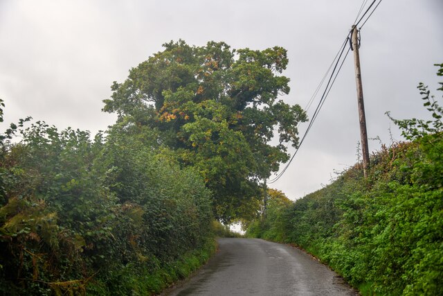
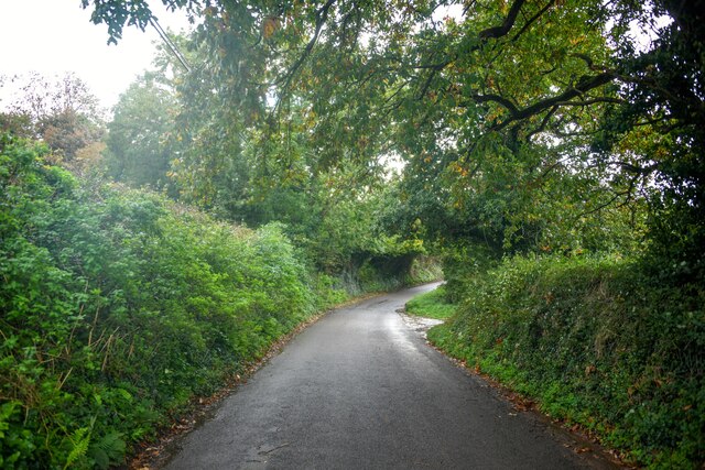
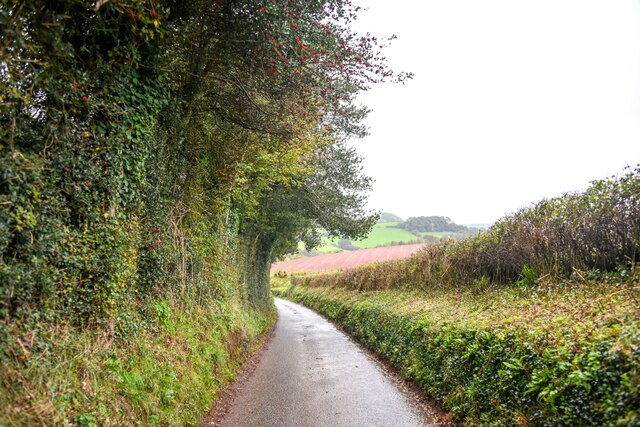
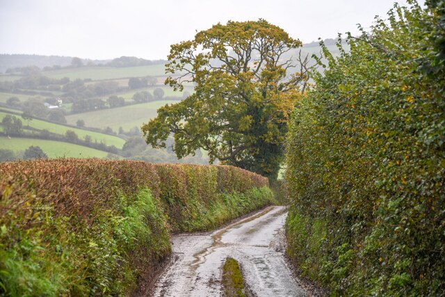
Hill Head Pond, located in Somerset, England, is a picturesque freshwater marsh that encompasses a lake, pool, and pond. Nestled amidst rolling hills and lush greenery, this serene natural habitat offers a diverse range of flora and fauna, making it a haven for wildlife enthusiasts and nature lovers.
The pond itself spans a considerable area, providing a tranquil setting for various recreational activities. Its calm, crystal-clear waters are teeming with aquatic life, including fish, turtles, and various species of waterfowl. The surrounding wetland vegetation, such as reeds and water lilies, adds to the overall beauty and ecological significance of this natural marvel.
The marshland surrounding Hill Head Pond is home to a plethora of bird species, creating an ideal spot for birdwatching. Visitors can spot a variety of avian residents, including herons, swans, ducks, and geese. Additionally, the marshland acts as a natural habitat for amphibians, such as frogs and newts, which thrive in the damp conditions.
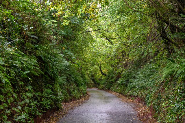
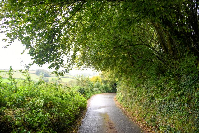
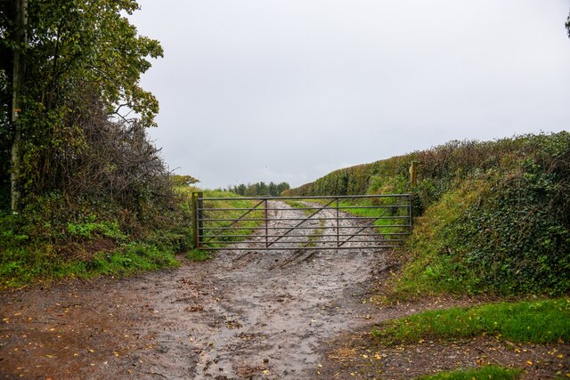
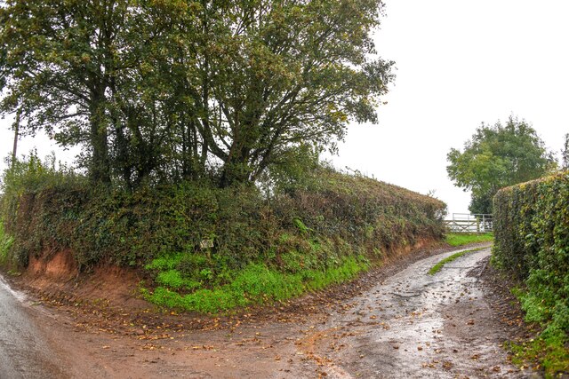
The area surrounding Hill Head Pond is a popular destination for nature walks and picnics. Numerous walking trails meander through the marshland, providing visitors with an opportunity to explore the diverse ecosystem and enjoy the scenic beauty of the surroundings. The tranquil atmosphere and stunning vistas make Hill Head Pond an ideal location for relaxation and rejuvenation.
Overall, Hill Head Pond in Somerset offers a unique blend of natural beauty, biodiversity, and recreational opportunities. Whether one is seeking a peaceful retreat, an opportunity to observe wildlife, or simply a serene spot for a picnic, this freshwater marsh is sure to delight visitors of all ages.
If you have any feedback on the listing, please let us know in the comments section below.
Hill Head Pond Images
Images are sourced within 2km of 51.157879/-3.3569709 or Grid Reference ST0540. Thanks to Geograph Open Source API. All images are credited.


Hill Head Pond is located at Grid Ref: ST0540 (Lat: 51.157879, Lng: -3.3569709)
Administrative County: Somerset
District: Somerset West and Taunton
Police Authority: Avon and Somerset
What 3 Words
///reach.succeed.consoled. Near Williton, Somerset
Nearby Locations
Related Wikis

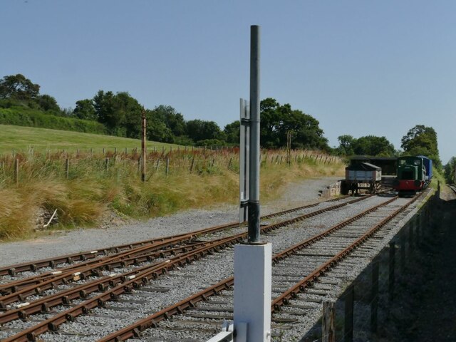
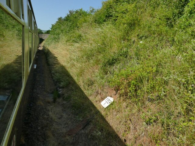
Washford (WSMR) railway station
Washford was an intermediate station on the West Somerset Mineral Railway (WSMR), which was built primarily to carry iron ore from mines to Watchet harbour...

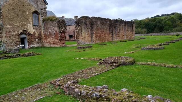
Cleeve Abbey
Cleeve Abbey is a medieval monastery located near the village of Washford, in Somerset, England. It is a Grade I listed building and has been scheduled...
Washford Radio Museum
Washford Radio Museum has been re-located to 'The Radio Museum' at the former Anchor Inn, 5, Anchor Street, Watchet, Somerset, TA23 0AZ. == References... ==

Tropiquaria
Tropiquaria Zoo is a small tropical house and zoo in West Somerset, England. It is located 16 miles (26 km) from Taunton and 9 miles (14 km) from Minehead...

Washford transmitting station
Washford transmitting station is a medium wave broadcasting station and low-power digital terrestrial television relay near Washford, Somerset. It was...
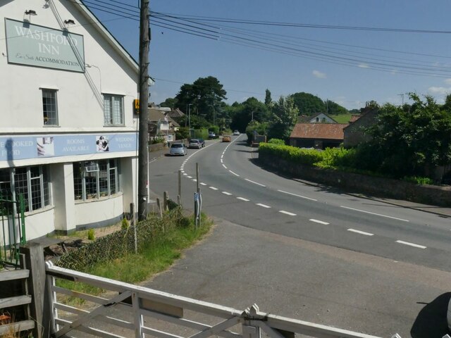
Washford
Washford is a village on the Washford River in the civil parish of Old Cleeve, Somerset, England. The village is next to Cleeve Abbey, one of the best...
Torre (WSMR) railway station
Torre was a recognised stopping place, not a formal station, on the West Somerset Mineral Railway (WSMR). The railway's prime purpose was to carry iron...

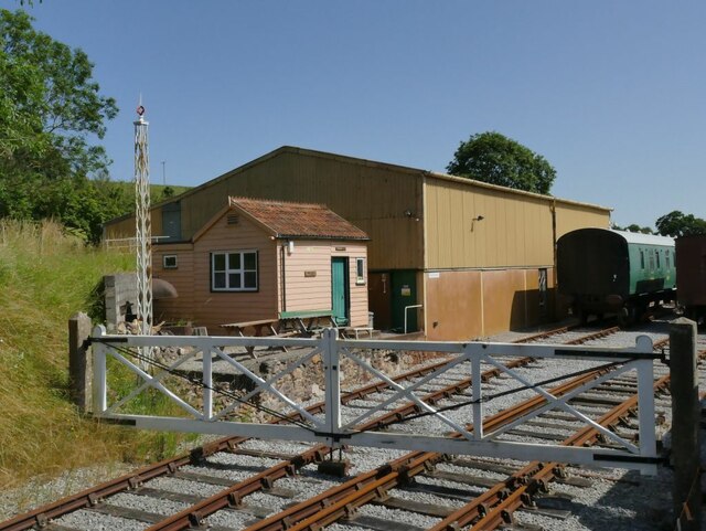
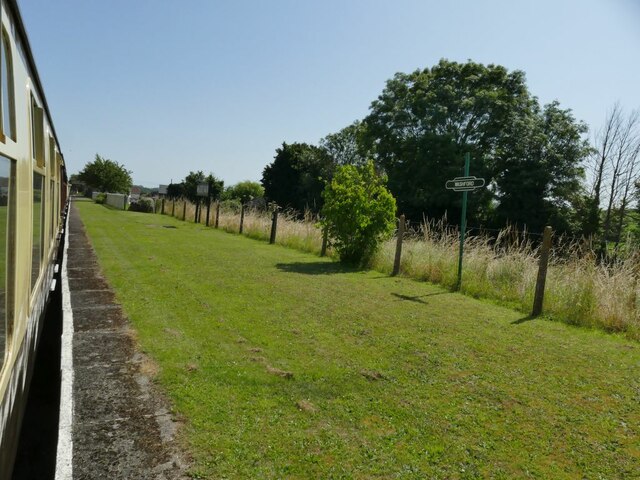
Washford railway station
Washford railway station is a station on the West Somerset Railway, a heritage railway in England. The station is situated in the village of Washford...
Nearby Amenities
Located within 500m of 51.157879,-3.3569709Have you been to Hill Head Pond?
Leave your review of Hill Head Pond below (or comments, questions and feedback).