Poll Cas Gaibhre
Lake, Pool, Pond, Freshwater Marsh in Ross-shire
Scotland
Poll Cas Gaibhre
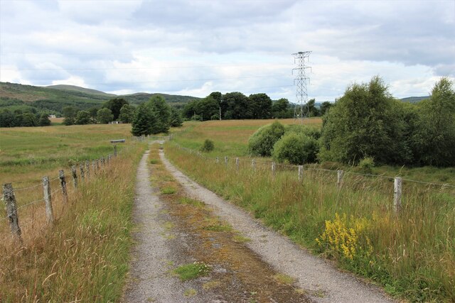
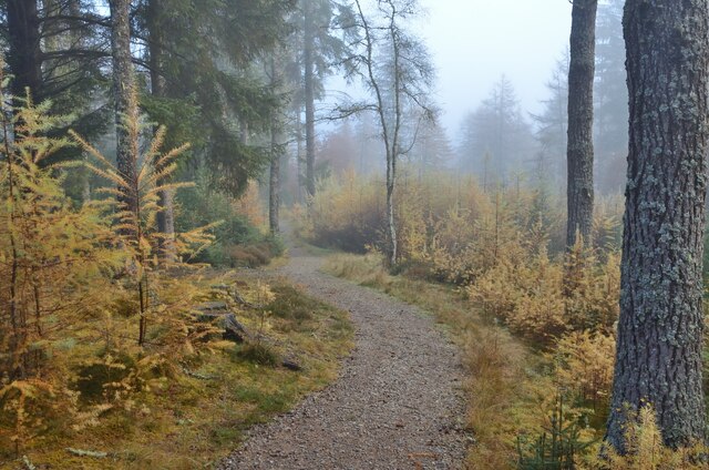
Poll Cas Gaibhre, located in Ross-shire, Scotland, is a captivating freshwater ecosystem that encompasses a lake, pool, pond, and freshwater marsh. The area is renowned for its natural beauty and is a popular destination for nature enthusiasts and wildlife observers.
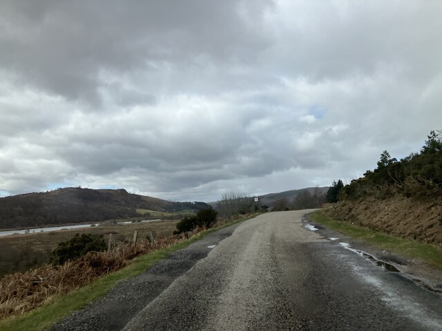
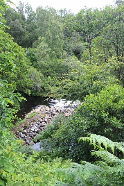
The main feature of Poll Cas Gaibhre is its expansive lake, which stretches across a significant portion of the landscape. The crystal-clear waters of the lake are a result of the natural springs that feed into it, providing a habitat for a diverse range of aquatic flora and fauna.
Adjacent to the lake, there is a smaller pool and pond, which add to the overall charm of the area. These bodies of water are home to various species of amphibians, including frogs and newts, as well as a plethora of water plants such as lilies and reeds.
Surrounding the lake and its smaller counterparts, there is a thriving freshwater marsh. This marshland is characterized by its rich and fertile soil, which supports the growth of a wide array of plant species. The marsh provides an ideal habitat for numerous bird species, including ducks, herons, and swans, which can often be seen gracefully gliding across the water.
The diverse ecosystem of Poll Cas Gaibhre supports a range of wildlife, including otters, beavers, and various fish species. The area is also a haven for birdwatchers, who flock to the region to observe the numerous species of waterfowl that call this place home.
In conclusion, Poll Cas Gaibhre in Ross-shire offers a picturesque setting comprising a lake, pool, pond, and freshwater marsh. Its abundant wildlife and scenic beauty make it a must-visit destination for nature enthusiasts seeking to immerse themselves in the tranquility of the Scottish countryside.
If you have any feedback on the listing, please let us know in the comments section below.
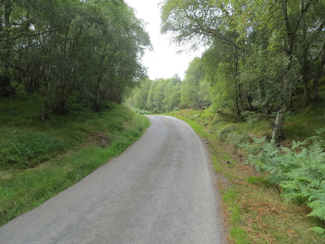
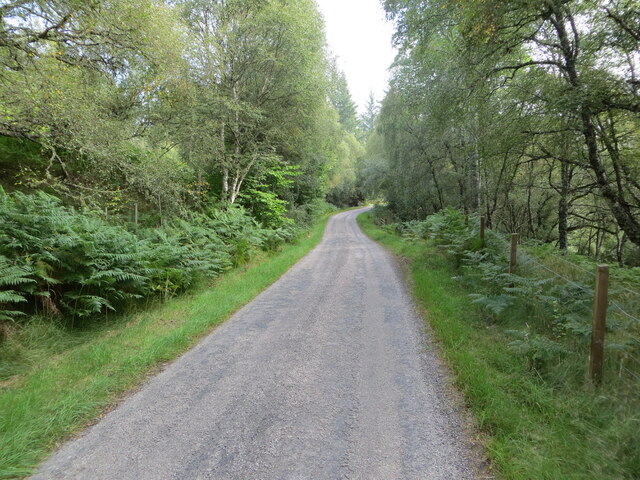
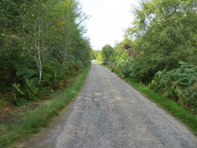
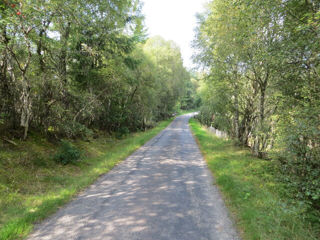
Poll Cas Gaibhre Images
Images are sourced within 2km of 57.941167/-4.429256 or Grid Reference NH5697. Thanks to Geograph Open Source API. All images are credited.


Poll Cas Gaibhre is located at Grid Ref: NH5697 (Lat: 57.941167, Lng: -4.429256)
Unitary Authority: Highland
Police Authority: Highlands and Islands
What 3 Words
///face.lake.syndicate. Near Lairg, Highland
Nearby Locations
Related Wikis

Rhelonie
Rhelonie (Scottish Gaelic: Ruigh an Lòin) is a crofting hamlet in the Highland region of Scotland. Rhelonie is 2 miles northwest of the village of Culrain...
Inveran
Inveran (Scottish Gaelic: Inbhirean) is a small village in the Parish of Creich located in the Sutherland region of the Highland Council area of Scotland...

River Shin
The River Shin (Scottish Gaelic: Abhainn Sin, pronounced [ˈa.ɪɲ ˈʃin]) is a river in the Scottish North West Highlands. The river flows from the southern...

Invershin Castle
Invershin Castle was a motte castle, located near Invershin, Highland in Scotland. == History == The castle was constructed possibly in the 12th century...

Carbisdale Castle
Carbisdale Castle was built in 1907 for the Duchess of Sutherland on a hill across the Kyle of Sutherland from Invershin in the Scottish Highlands. Until...

Kyle of Sutherland
The Kyle of Sutherland (Scottish Gaelic: An Caol Catach) is a river estuary that separates Sutherland from Ross-shire. It flows into the Dornoch Firth...

Invershin railway station
Invershin railway station is a railway station in the Highland council area of Scotland. The station is on the Far North Line, 61 miles 34 chains (98.9...

Shin Railway Viaduct
The Shin Railway Viaduct (also known as the Invershin Viaduct or Oykel Viaduct) is a railway viaduct that crosses the Kyle of Sutherland.The viaduct carries...
Nearby Amenities
Located within 500m of 57.941167,-4.429256Have you been to Poll Cas Gaibhre?
Leave your review of Poll Cas Gaibhre below (or comments, questions and feedback).