Àird Allathasdail
Coastal Feature, Headland, Point in Inverness-shire
Scotland
Àird Allathasdail
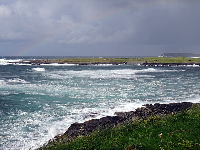
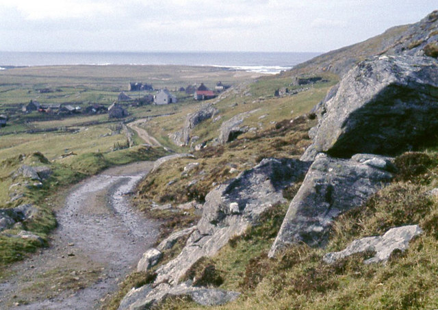
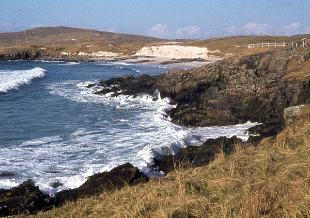
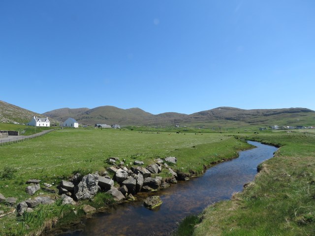
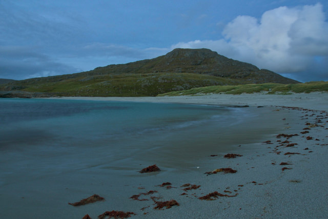
Àird Allathasdail is a prominent coastal feature located in Inverness-shire, Scotland. Situated on the west coast of the Highlands, it is known for its stunning natural beauty and captivating views of the surrounding landscape. This headland, also referred to as a point, is a popular destination for nature enthusiasts and tourists alike.
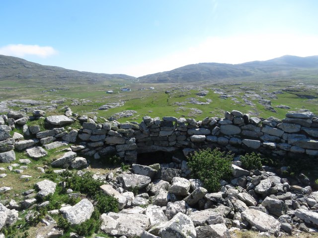
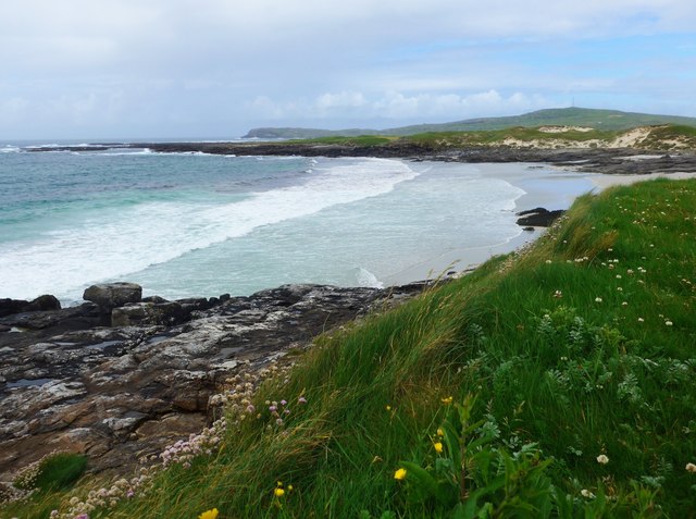
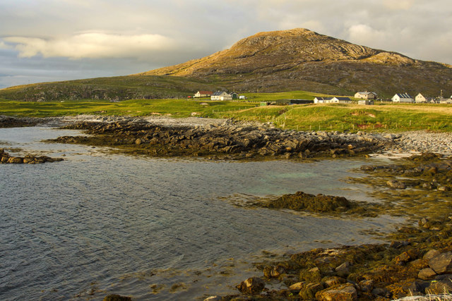
Rising dramatically from the rugged shoreline, Àird Allathasdail offers breathtaking vistas of the open sea and the adjacent rugged coastline. Its commanding position provides visitors with an unobstructed panorama, showcasing the untamed beauty of the Scottish Highlands. The headland is characterized by its steep cliffs, which have been carved over centuries by the relentless crashing waves of the Atlantic Ocean.
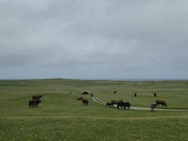
The area is rich in wildlife, with numerous bird species frequently spotted soaring above the headland or nesting on its cliffs. Visitors often catch glimpses of seabirds such as gannets, fulmars, and kittiwakes, adding to the allure of Àird Allathasdail.
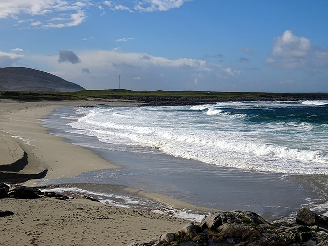
In addition to its natural splendor, the headland offers opportunities for outdoor activities. Hiking trails wind through the rugged terrain, allowing visitors to explore the area and discover its hidden gems. The coastal path offers breathtaking views, while the nearby beach is a popular spot for picnicking, sunbathing, and taking leisurely walks along the shore.
Overall, Àird Allathasdail is a captivating coastal feature that showcases the wild beauty of Inverness-shire. Its picturesque vistas, diverse wildlife, and outdoor recreational opportunities make it a must-visit destination for nature lovers and adventurers seeking an authentic Scottish experience.
If you have any feedback on the listing, please let us know in the comments section below.
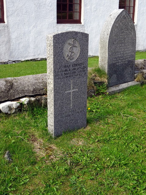
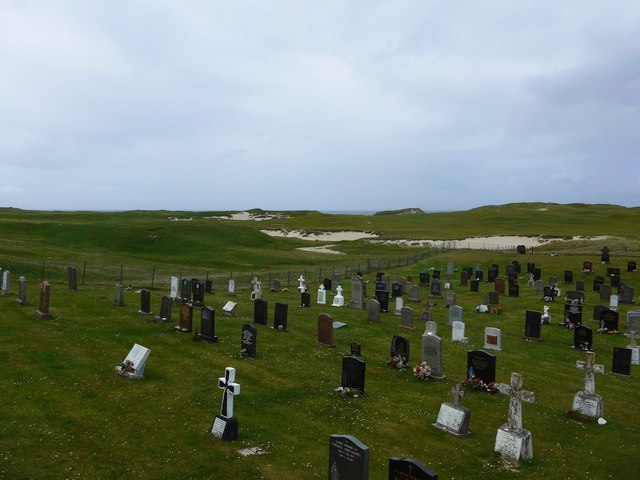
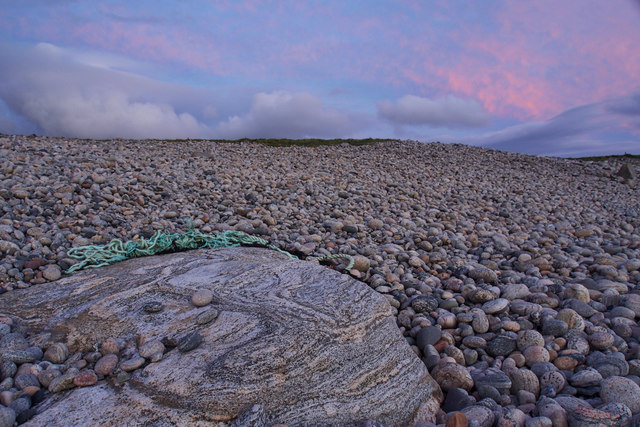
Àird Allathasdail Images
Images are sourced within 2km of 56.997926/-7.5130466 or Grid Reference NF6503. Thanks to Geograph Open Source API. All images are credited.
Àird Allathasdail is located at Grid Ref: NF6503 (Lat: 56.997926, Lng: -7.5130466)
Unitary Authority: Na h-Eileanan an Iar
Police Authority: Highlands and Islands
What 3 Words
///gasp.steepest.superbly. Near CastleBay, Na h-Eileanan Siar
Nearby Locations
Related Wikis

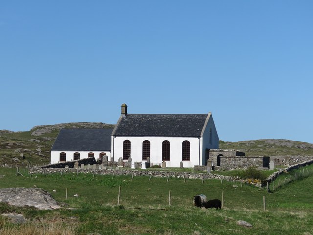
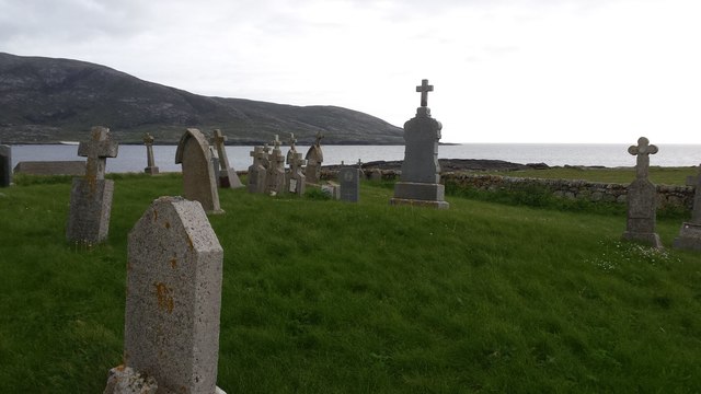
Allasdale
Allasdale (Scottish Gaelic: Athalasdal, pronounced [ˈa.əl̪ˠəs̪t̪əl̪ˠ]) is a settlement on Barra in the Outer Hebrides, Scotland. The settlement is also...

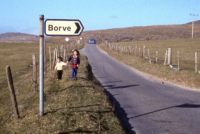
Borve, Barra
Borve (Scottish Gaelic: Borgh) is a village on the west coast of the island of Barra in the Outer Hebrides, Scotland. Borve is within the parish of Barra...

Isle of Barra distillery
Isle of Barra distillery at Borve, Barra, Scotland is a planned future whisky distillery on Barra. The Barra Distillery company was founded in 2003 but...

Barra
Barra (; Scottish Gaelic: Barraigh [ˈparˠaj] or Eilean Bharraigh [ˈelan ˈvarˠaj] ; Scots: Barra) is an island in the Outer Hebrides, Scotland, and the...

Heaval
Heaval is the highest hill on the Outer Hebridean island of Barra, Scotland. The highest point is 383 metres high above sea level and it is located 1.5...
Castlebay Community School
Castlebay Community School is a bilingual Gaelic/English school for ages 3–18 on the Scottish island of Barra.In September 2007, it hosted a major tribute...

Northbay
Northbay (Scottish Gaelic: Am Bàgh a Tuath) is a township and community in the north of Barra in the Outer Hebrides, off the west coast of Scotland. Northbay...
Barrathon
The Barrathon is an annual half marathon which takes place on the Isle of Barra, which is the southernmost inhabited isle of the Outer Hebrides in Scotland...
Nearby Amenities
Located within 500m of 56.997926,-7.5130466Have you been to Àird Allathasdail?
Leave your review of Àird Allathasdail below (or comments, questions and feedback).