The Firs
Wood, Forest in Hertfordshire East Hertfordshire
England
The Firs
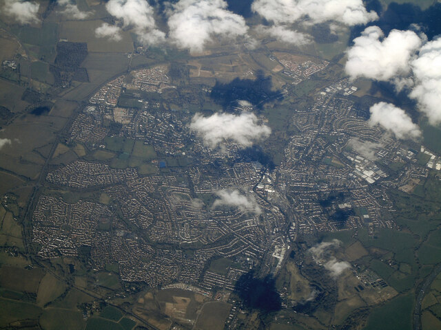
The Firs is a woodland area located in Hertfordshire, England. It is known for its picturesque beauty and diverse range of plant and animal species. The woodland covers an area of approximately 100 acres, making it a significant natural resource in the region.
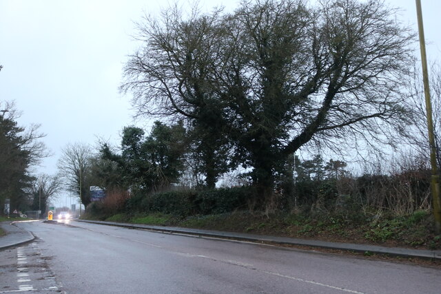
The Firs is predominantly composed of deciduous trees, including oak, beech, and birch. These trees provide a dense canopy, creating a shaded and tranquil environment. The woodland floor is covered in a thick layer of leaf litter, which supports a variety of small mammals and invertebrates.
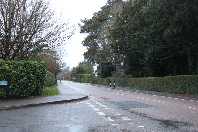
Numerous walking trails crisscross The Firs, allowing visitors to explore the woodland and observe its natural wonders. These trails are well-maintained and provide a scenic and peaceful experience for hikers and nature enthusiasts. Along the trails, there are several designated viewpoints that offer stunning vistas of the surrounding landscape.
The Firs is also home to a diverse range of wildlife. Birdwatchers can spot various species, including woodpeckers, finches, and thrushes. In addition, the woodland is inhabited by foxes, badgers, and deer, providing ample opportunities for wildlife photography and observation.
The woodland is well-preserved and managed by local conservation organizations, ensuring its ecological integrity and sustainability. As a result, The Firs serves as an important habitat for both native and migratory species, contributing to the overall biodiversity of Hertfordshire.
Overall, The Firs in Hertfordshire is a natural gem, offering visitors a chance to immerse themselves in the beauty of the woodlands and experience the wonders of nature.
If you have any feedback on the listing, please let us know in the comments section below.
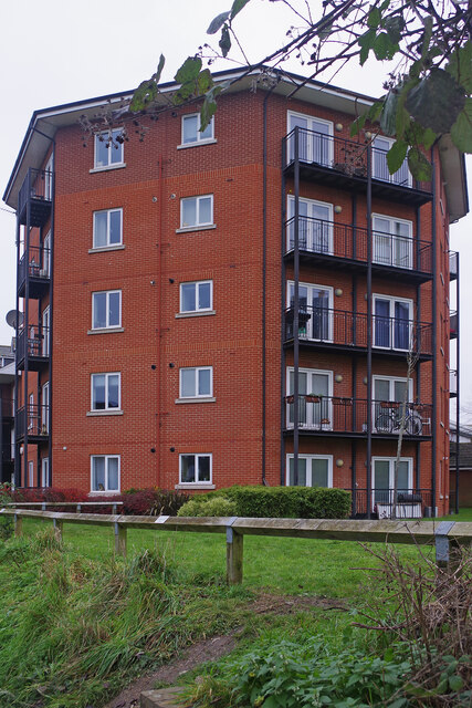
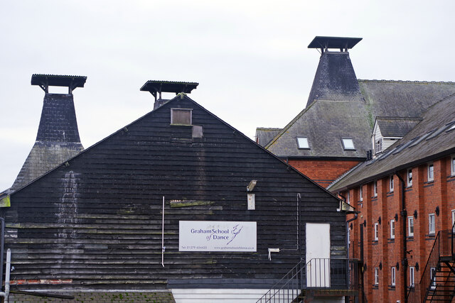
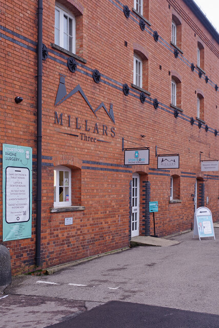
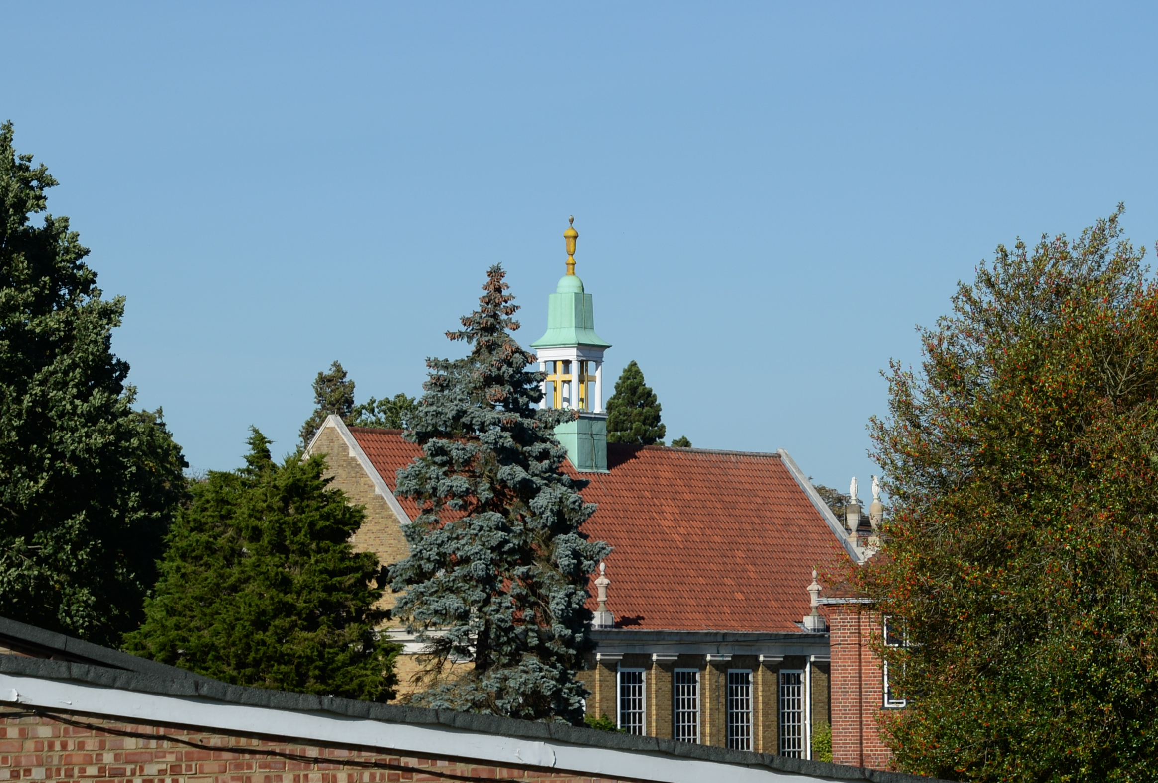
The Firs Images
Images are sourced within 2km of 51.864772/0.15274644 or Grid Reference TL4820. Thanks to Geograph Open Source API. All images are credited.


The Firs is located at Grid Ref: TL4820 (Lat: 51.864772, Lng: 0.15274644)
Administrative County: Hertfordshire
District: East Hertfordshire
Police Authority: Hertfordshire
What 3 Words
///entry.crust.voter. Near Bishops Stortford, Hertfordshire
Related Wikis

St Mary's Catholic School, Bishop's Stortford
St Mary's Catholic School is a Roman Catholic secondary school and sixth form located in Bishop's Stortford, Hertfordshire, England. == History == In 1896...
Bishop's Stortford College
Bishop's Stortford College is a private boarding and day school in the English public school tradition for more than 1,200 pupils aged 4–18, situated in...

Boar's Head Inn, Bishop's Stortford
The Boar's Head Inn is a Grade II* listed public house in Bishop's Stortford, Hertfordshire, England. The timber framed building was built in the late...

South Mill Arts
South Mill Arts is a venue for theatre, contemporary arts and culture, local history, and conferences in Bishop's Stortford, Hertfordshire, England. One...
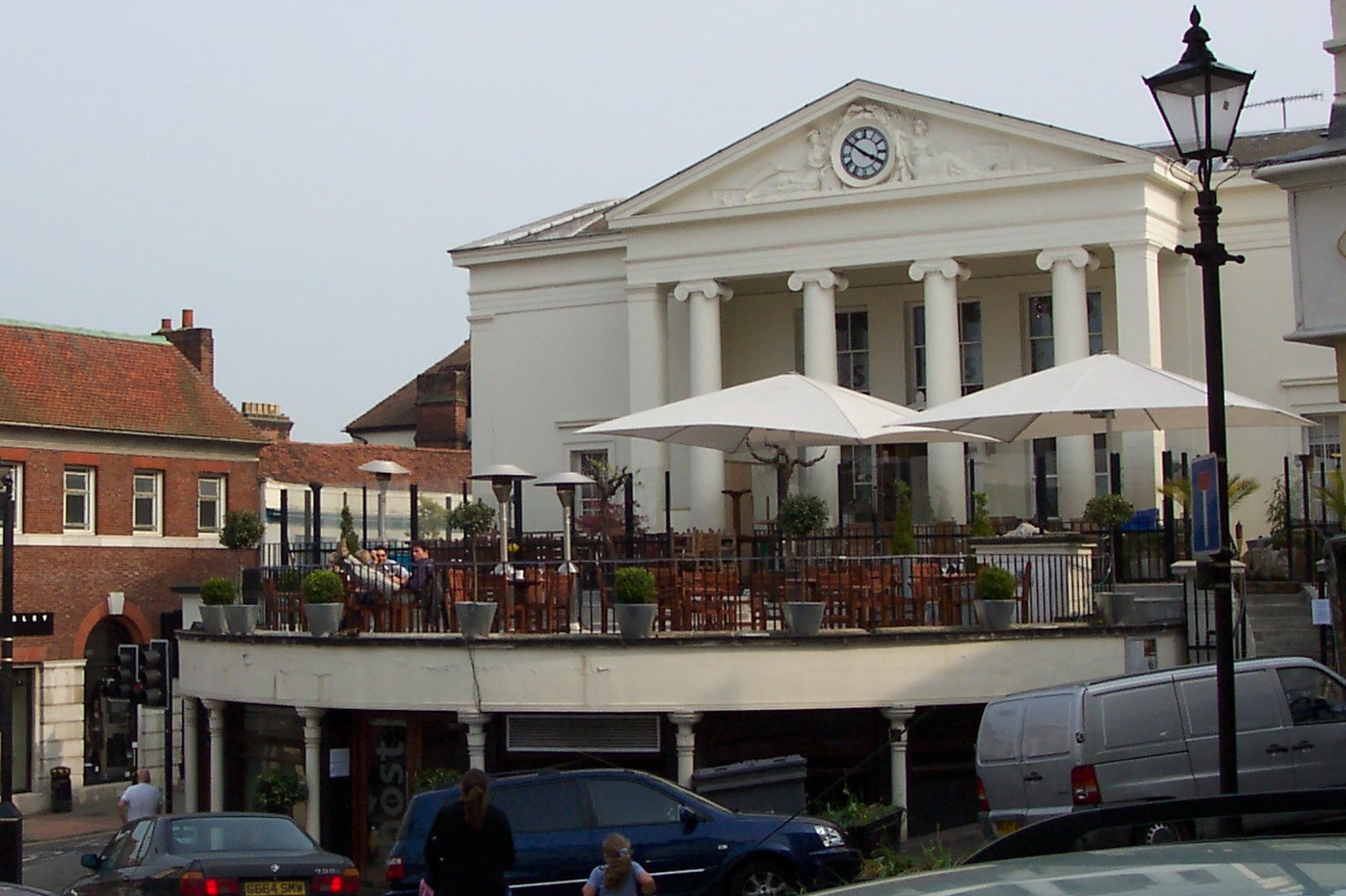
Corn Exchange, Bishop's Stortford
The Corn Exchange is a commercial building in the Market Square in Bishop's Stortford, Hertfordshire, England. The structure, which is currently used to...

Bishop's Stortford railway station
Bishop's Stortford railway station is on the West Anglia Main Line serving the town of Bishop's Stortford in Hertfordshire, England. It is 30 miles 27...
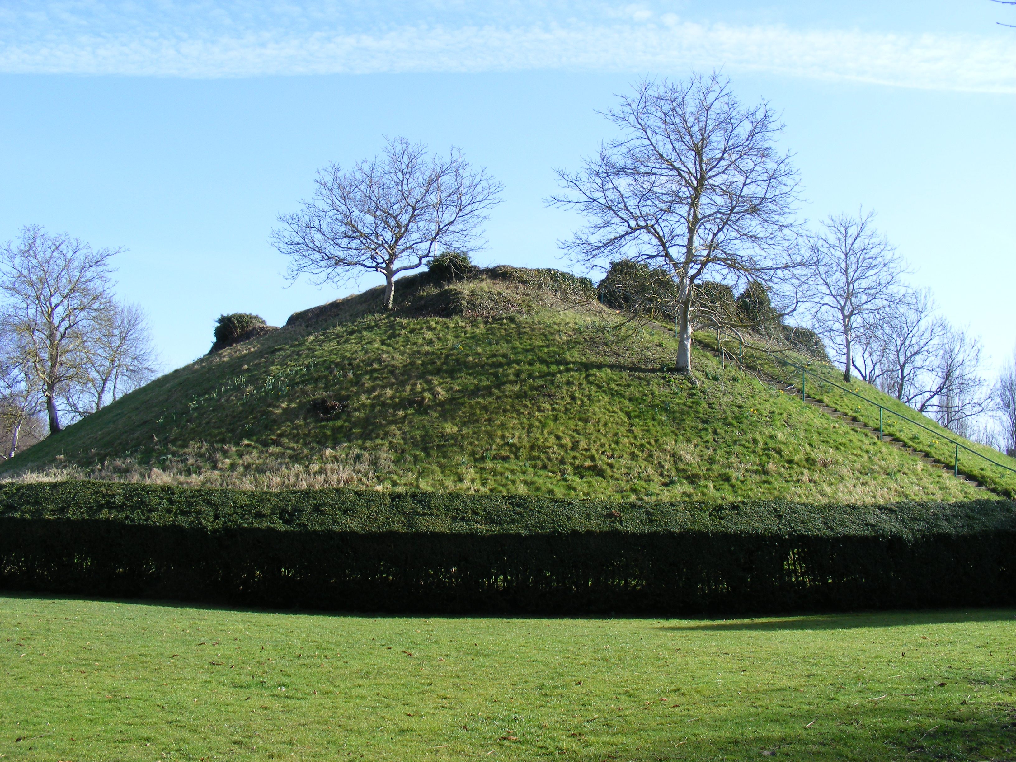
Waytemore Castle
Waytemore Castle is a ruined castle in the town of Bishop's Stortford in Hertfordshire, England. The remains are a Grade I listed structure.This began...
The Bishop's Stortford High School
The Bishop's Stortford High School (often abbreviated to TBSHS) is a comprehensive secondary school, with a coeducational sixth form, in Bishop's Stortford...
Nearby Amenities
Located within 500m of 51.864772,0.15274644Have you been to The Firs?
Leave your review of The Firs below (or comments, questions and feedback).