Ash Platt
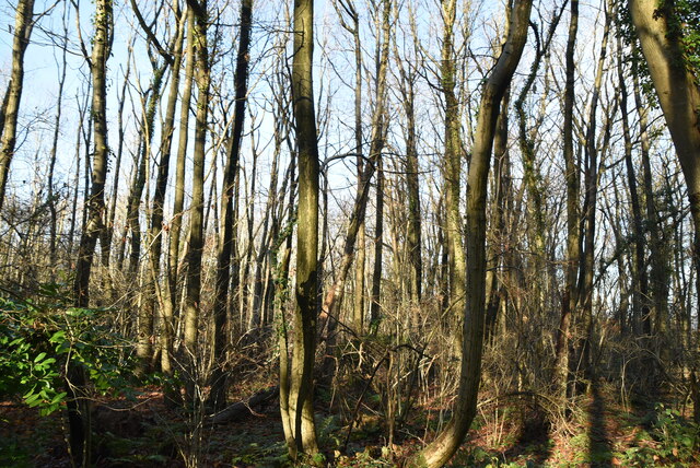
Wood, Forest in Kent Sevenoaks
England
Ash Platt
Ash Platt is a small village located in the county of Kent, England. Situated within the beautiful Wood, Forest area, it is surrounded by lush greenery and natural landscapes. The village is known for its tranquil atmosphere and close-knit community.
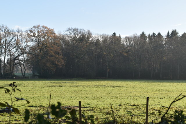
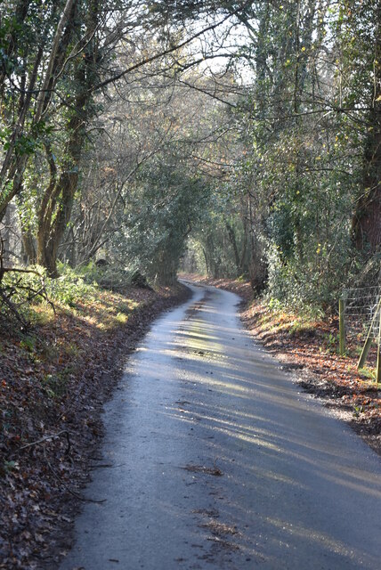
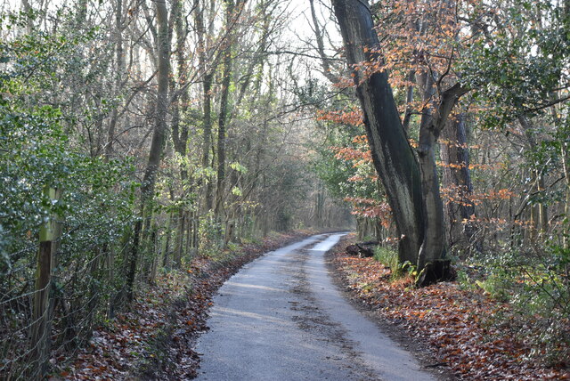
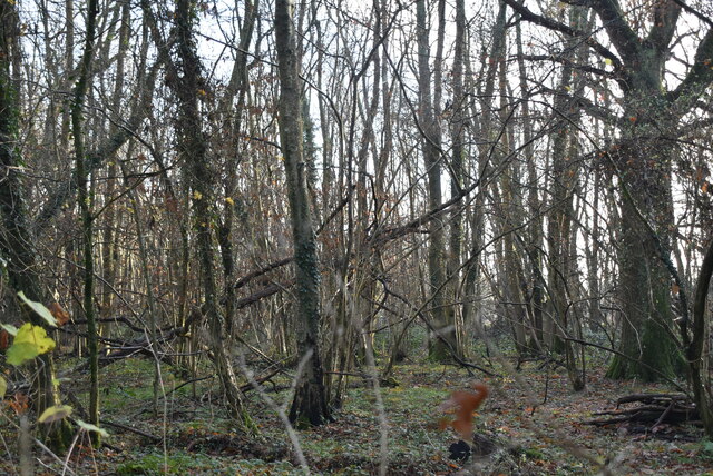
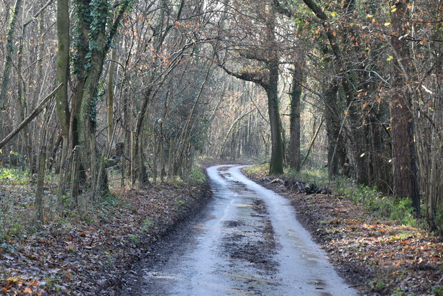
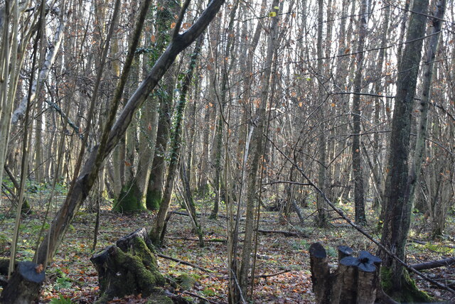
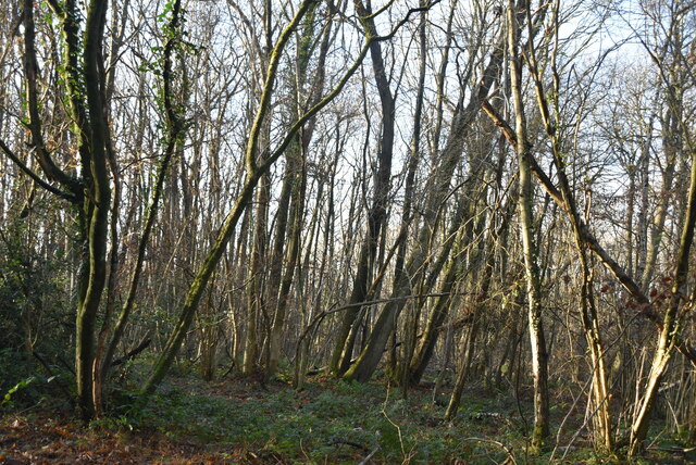
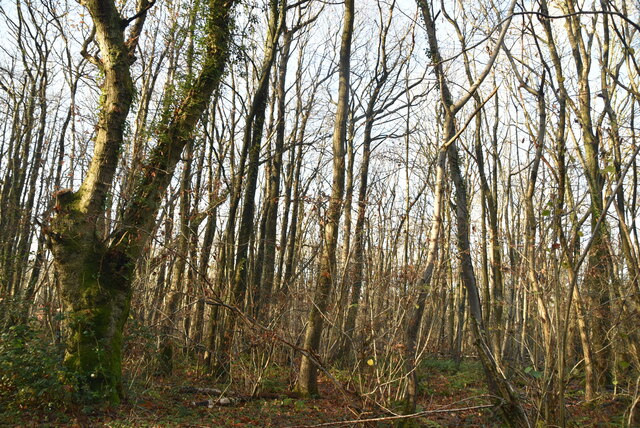
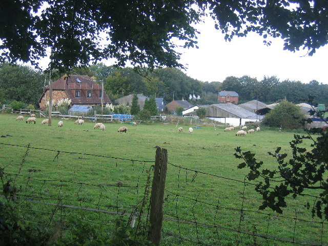
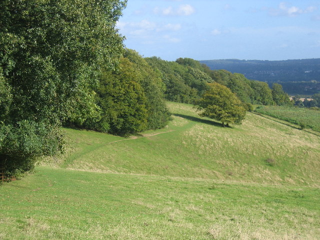
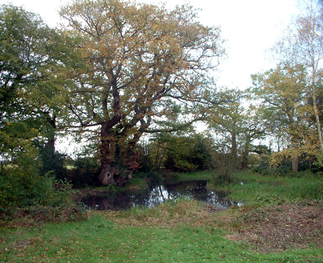
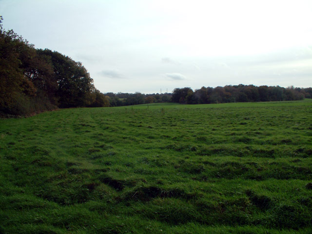
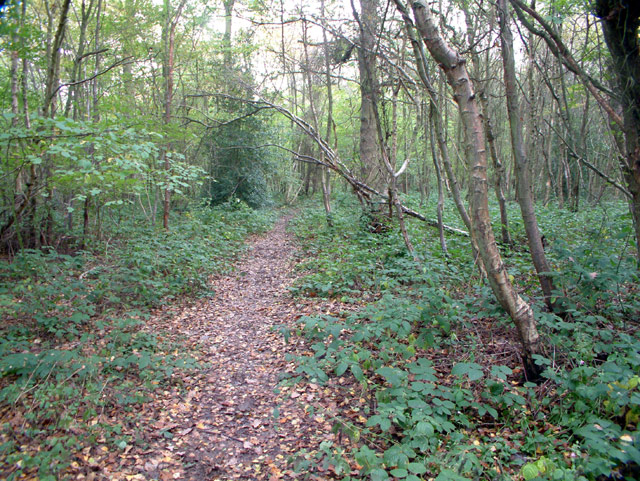
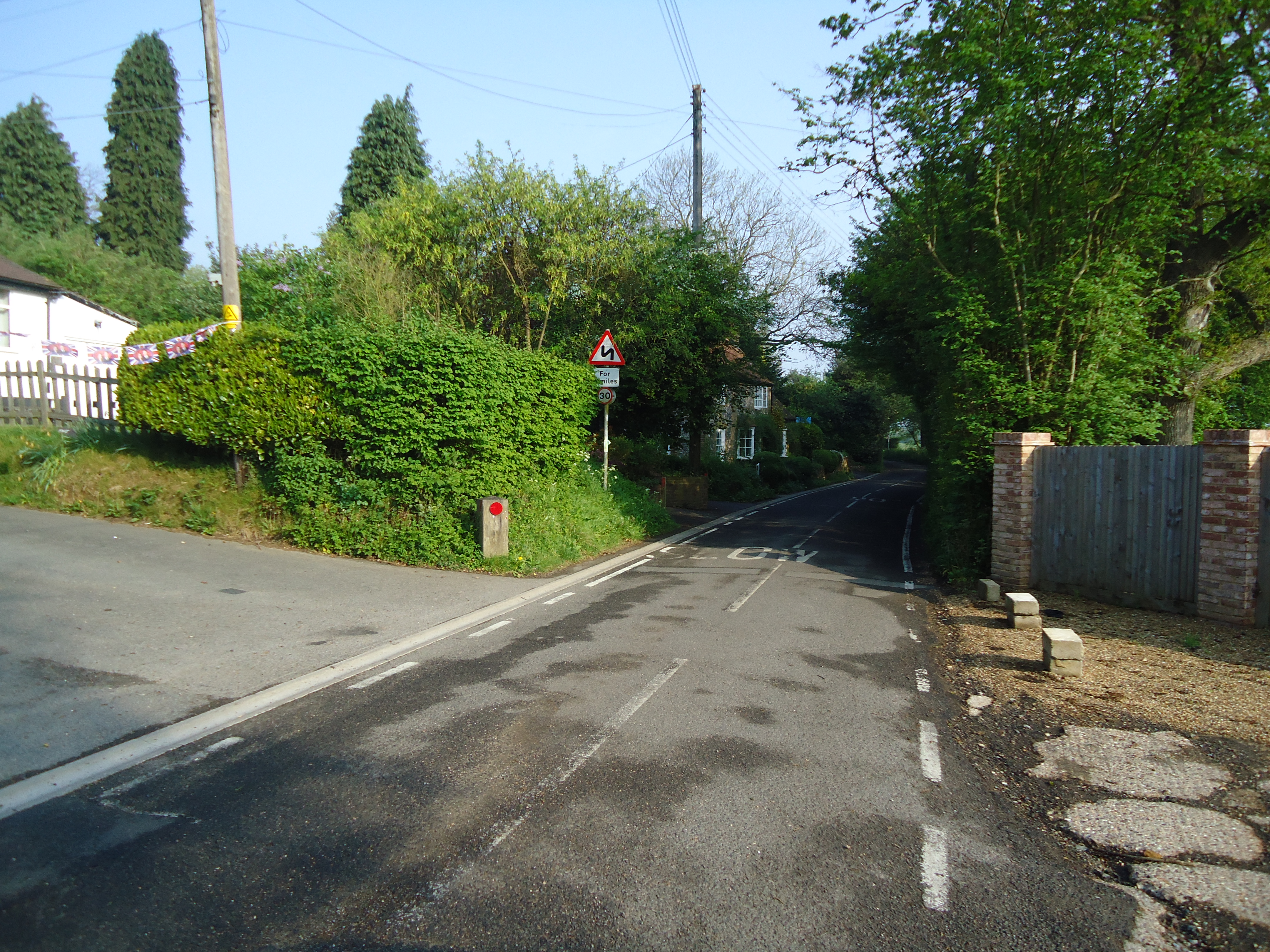
The main focal point of Ash Platt is its picturesque countryside, with rolling hills and dense woodland. This makes it an ideal destination for nature lovers and outdoor enthusiasts. The village boasts several walking and cycling trails, allowing visitors to explore the stunning surroundings and enjoy the peaceful ambiance.
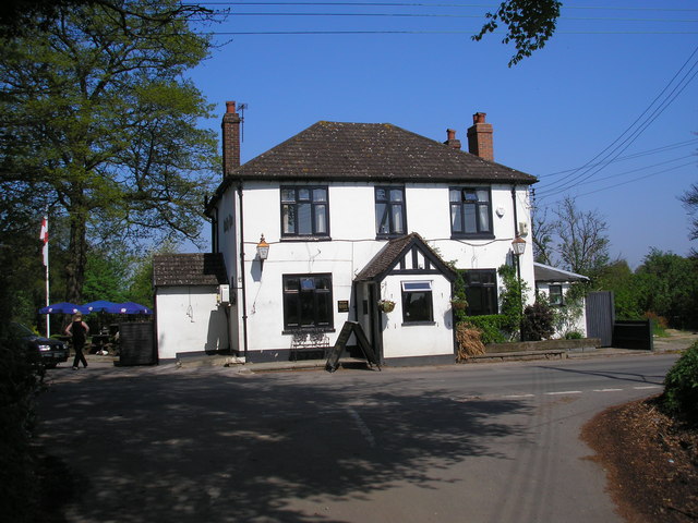
In terms of amenities, Ash Platt offers a range of facilities to cater to its residents' needs. These include a local pub, where locals and visitors can unwind and socialize. There is also a village hall that hosts various community events and gatherings throughout the year. Additionally, a small convenience store provides essential goods and services for the villagers.
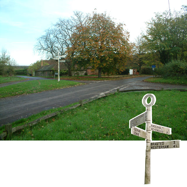
Despite its rural setting, Ash Platt is conveniently located near larger towns and cities. The bustling town of Sevenoaks is just a short drive away, offering a wider range of amenities such as shopping centers, restaurants, and leisure facilities.
Overall, Ash Platt is a charming village nestled within the Wood, Forest area of Kent. Its natural beauty, peaceful atmosphere, and strong sense of community make it a desirable place to live or visit for those seeking a tranquil retreat in the English countryside.
If you have any feedback on the listing, please let us know in the comments section below.
Ash Platt Images
Images are sourced within 2km of 51.307195/0.11265914 or Grid Reference TQ4758. Thanks to Geograph Open Source API. All images are credited.
Ash Platt is located at Grid Ref: TQ4758 (Lat: 51.307195, Lng: 0.11265914)
Administrative County: Kent
District: Sevenoaks
Police Authority: Kent
What 3 Words
///hook.voices.debit. Near Sundridge, Kent
Nearby Locations
Related Wikis

Knockholt
Knockholt is a village and civil parish in the Sevenoaks District of Kent, England. It is located 5 mi (8 km) north west of Sevenoaks & 5.7 mi (9.2 km...

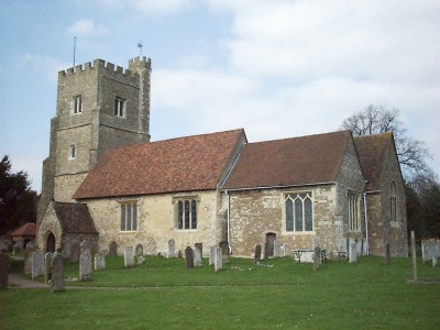
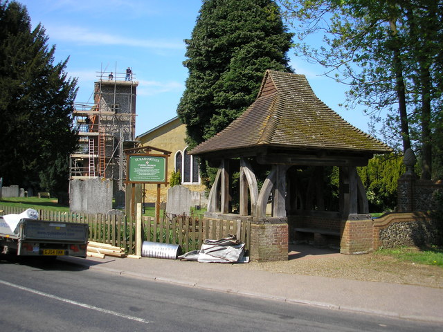
St Katharine's Church, Knockholt
St Katharine's Church is an Anglican parish church in the village of Knockholt and the Sevenoaks deanery. St Katharine's and St Margaret's came together...
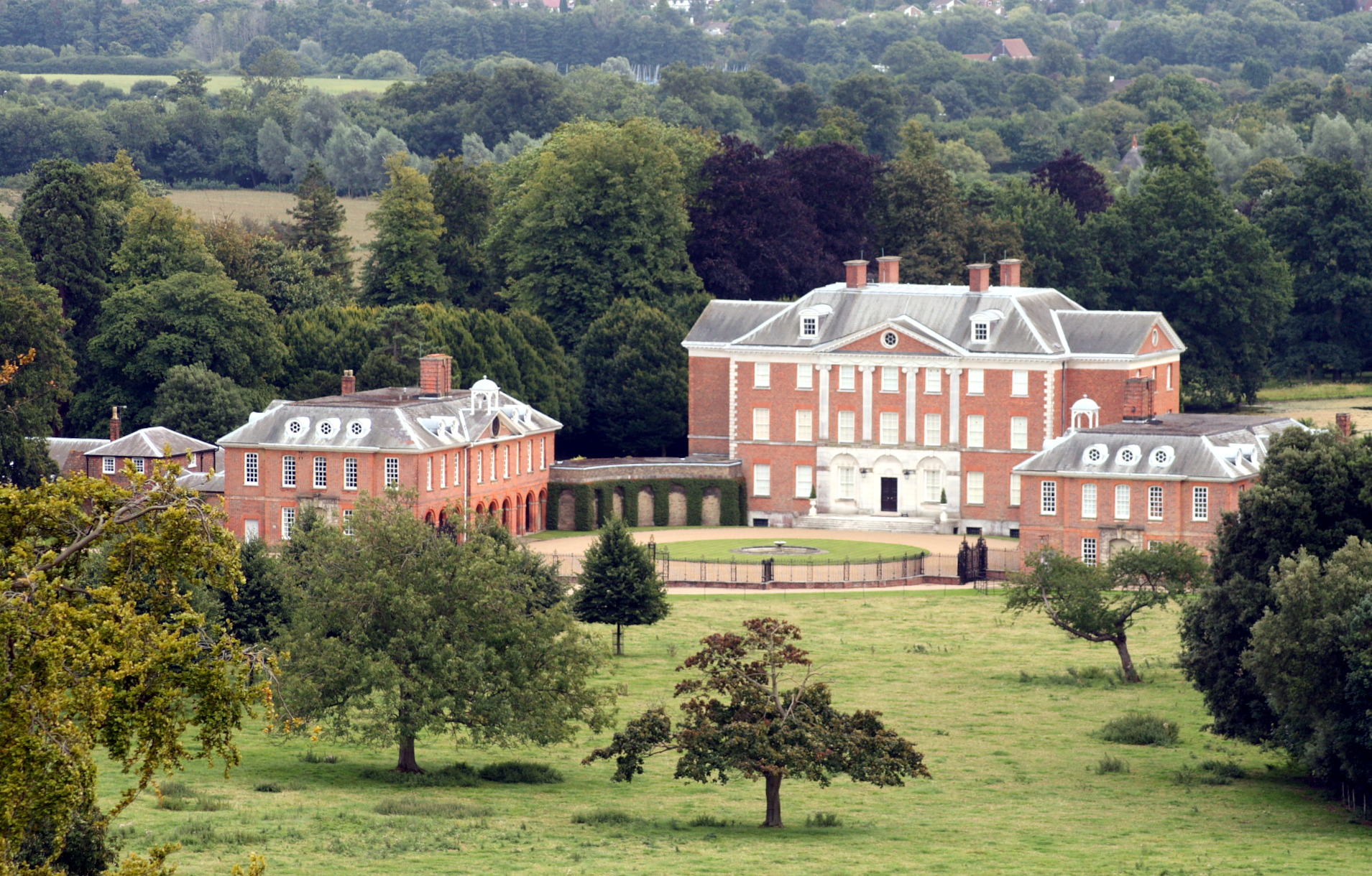
Chevening
Chevening House () is a large country house in the parish of Chevening in Kent, England. Built between 1617 and 1630 to a design reputedly by Inigo Jones...

Chatham Vase
The Chatham Vase is a stone sculpture by John Bacon commissioned as a memorial to William Pitt the Elder by his wife, Hester, Countess of Chatham. It was...
Horns Green
Horns Green is an area in the London Borough of Bromley located to the south of Cudham near the boundary with Kent. == References ==

Chevening, Kent
Chevening () is a village and civil parish in the Sevenoaks District of Kent, England. It was the location for the world's earliest known organised cricket...

Fort Halstead
Fort Halstead was a research site of the Defence Science and Technology Laboratory (Dstl), an executive agency of the UK Ministry of Defence. It is situated...

Brasted railway station
Brasted is a disused intermediate railway station in Brasted, Kent on the closed Westerham Valley branch line. The station closed in 1961 and the site...
Nearby Amenities
Located within 500m of 51.307195,0.11265914Have you been to Ash Platt?
Leave your review of Ash Platt below (or comments, questions and feedback).