Holly Grove
Wood, Forest in Gloucestershire Cotswold
England
Holly Grove
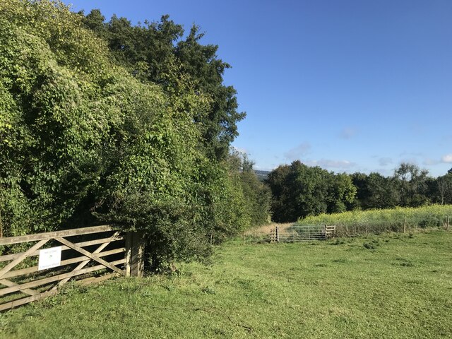
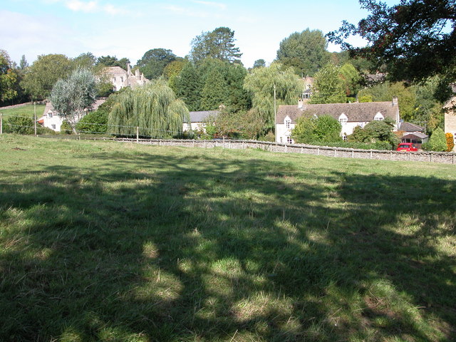
Holly Grove, located in the county of Gloucestershire, England, is a charming woodland area situated in the heart of the Forest of Dean. Nestled amidst a picturesque landscape, this idyllic woodland is known for its rich biodiversity and natural beauty.
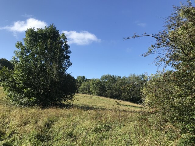
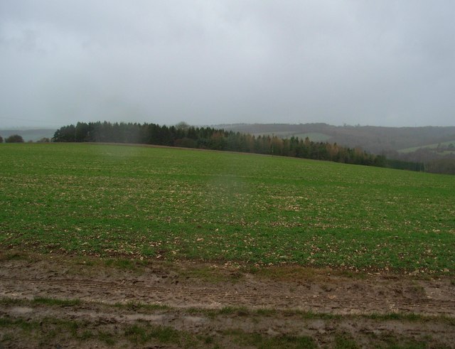
Covering an area of approximately 100 hectares, Holly Grove is home to a diverse range of flora and fauna. The woodland is predominantly composed of oak and beech trees, interspersed with pockets of holly trees, which lend the grove its name. The dense canopy provides a haven for various bird species, including woodpeckers, owls, and songbirds, making it a paradise for birdwatchers.
The woodland floor is carpeted with an array of wildflowers, ferns, and mosses, creating a vibrant tapestry of colors throughout the seasons. It is also a habitat for a variety of woodland creatures, such as foxes, badgers, and deer, who roam freely in their natural habitat.
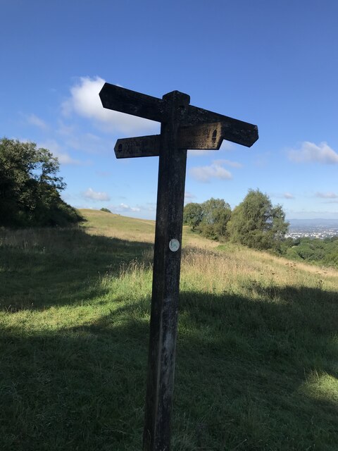
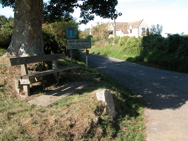
Holly Grove offers several walking trails, allowing visitors to explore its natural wonders at their own pace. These trails meander through the woodland, offering glimpses of ancient trees and hidden ponds along the way. The grove also boasts a small picnic area, where visitors can relax and immerse themselves in the tranquil surroundings.
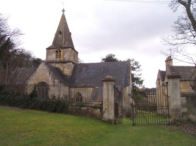
In addition to its natural beauty, Holly Grove has a rich historical significance. It is believed to have been a part of the ancient Forest of Dean, which dates back centuries and played a vital role in the region's timber industry.
Overall, Holly Grove in Gloucestershire is a captivating woodland that offers a peaceful retreat and a chance to connect with nature's wonders.
If you have any feedback on the listing, please let us know in the comments section below.
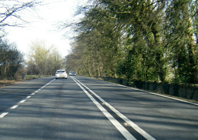
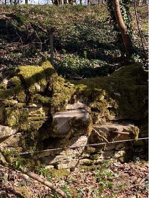
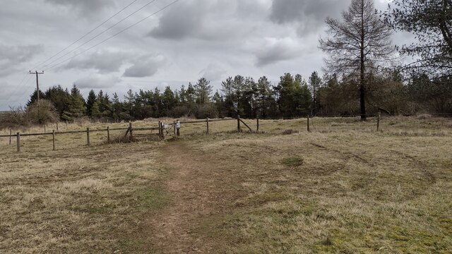
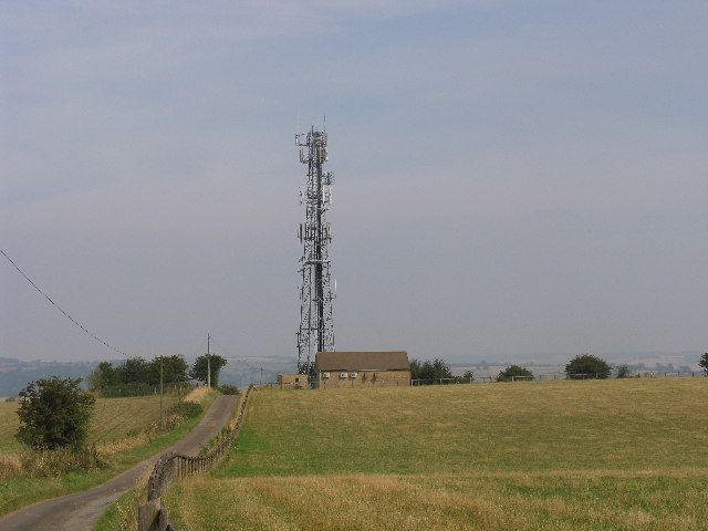
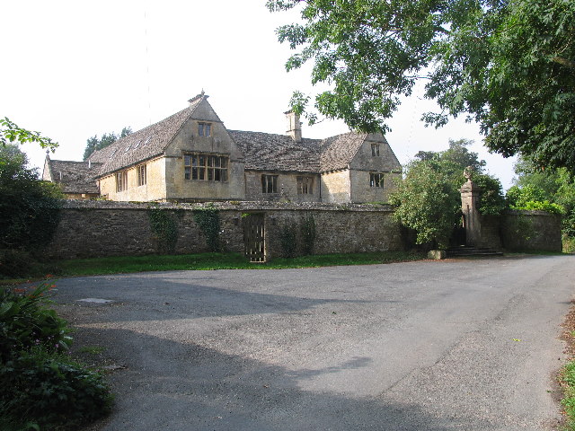
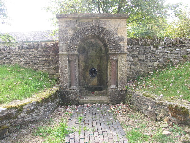
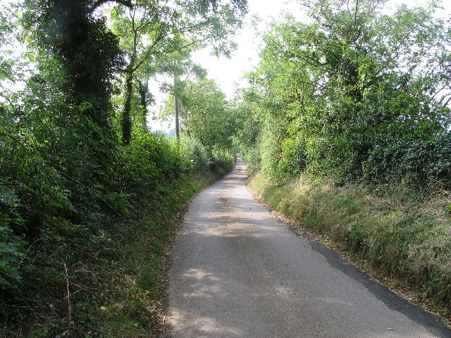
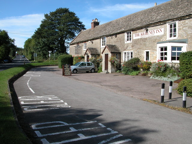
Holly Grove Images
Images are sourced within 2km of 51.859415/-2.0074458 or Grid Reference SO9917. Thanks to Geograph Open Source API. All images are credited.


Holly Grove is located at Grid Ref: SO9917 (Lat: 51.859415, Lng: -2.0074458)
Administrative County: Gloucestershire
District: Cotswold
Police Authority: Gloucestershire
What 3 Words
///disposing.float.ports. Near Charlton Kings, Gloucestershire
Nearby Locations
Related Wikis

Lineover Wood
Lineover Wood (grid reference SO987187) is a 20.3-hectare (50-acre) biological Site of Special Scientific Interest in Gloucestershire, notified in 1986...

Dowdeswell Reservoir
Dowdeswell Reservoir and former water treatment works lie below the parish of Dowdeswell in Gloucestershire. They were originally built by Cheltenham...
Dowdeswell
Dowdeswell is a civil parish in the ward of Chedworth, Cotswold, in the ceremonial county of Gloucestershire, England. It is separated into Upper and Lower...

Andoversford
Andoversford is a village and civil parish in the Cotswold District of Gloucestershire, England, about 5 miles (8 km) east of Cheltenham. The village is...

A40 road
The A40 is a trunk road which runs between London and Goodwick (Fishguard), Wales, and officially called The London to Fishguard Trunk Road (A40) in all...

Seven Springs, Gloucestershire
Seven Springs is a hamlet in the heavily wooded parish of Coberley in the Cotswold District of Gloucestershire in England, 4 miles (6.4 km) south of Cheltenham...

Sandywell Park
Sandywell Park is an Jacobean Georgian manor house, five miles east of Cheltenham in Gloucestershire, England. Built in 1704 by Henry Brett, it was extended...

Andoversford Junction railway station
Andoversford Junction railway station was in Gloucestershire on the Great Western Railway's Banbury and Cheltenham Direct Railway that opened in 1881....
Nearby Amenities
Located within 500m of 51.859415,-2.0074458Have you been to Holly Grove?
Leave your review of Holly Grove below (or comments, questions and feedback).