Roach-hey Wood
Wood, Forest in Cheshire
England
Roach-hey Wood

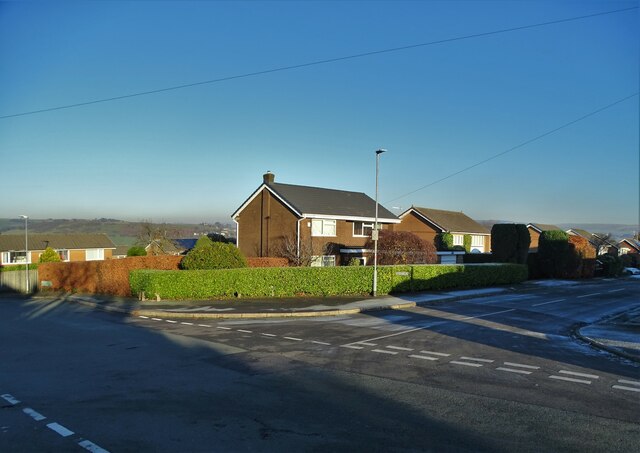
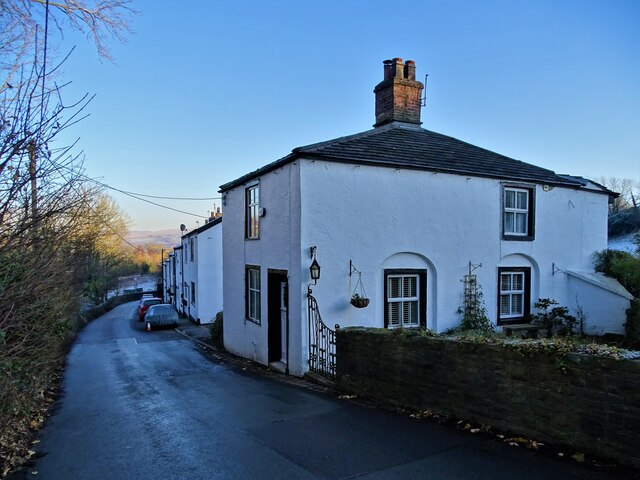
Roach-hey Wood, located in Cheshire, England, is a picturesque woodland area known for its natural beauty and diverse wildlife. Covering an area of approximately 200 acres, the wood is situated near the village of Wood, and it forms part of the larger Forest of Macclesfield.
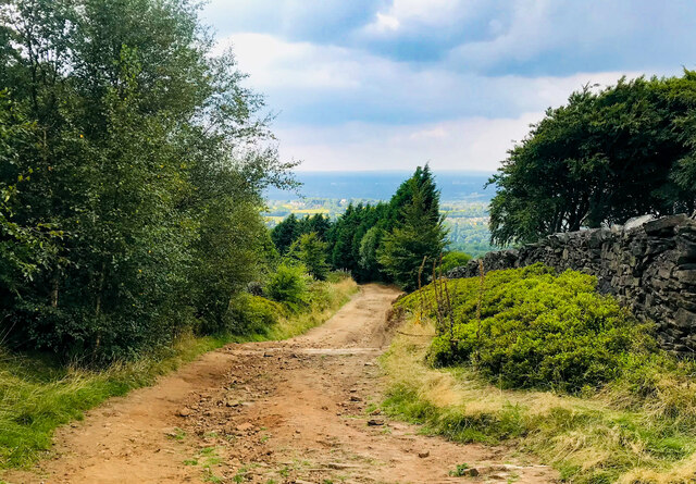
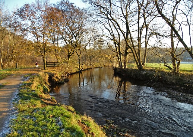
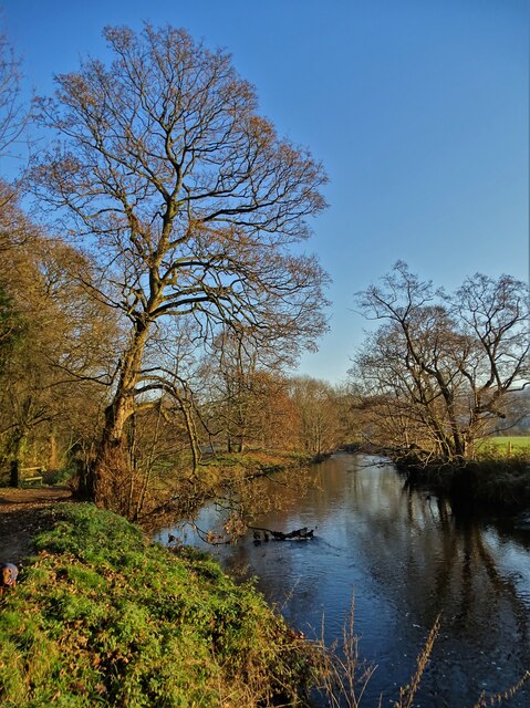
Roach-hey Wood is characterized by its dense canopy of mature trees, including oak, birch, and beech, which create a tranquil and shaded environment. The forest floor is covered in a vibrant carpet of ferns, wildflowers, and mosses, adding to its enchanting appeal. The wood is crisscrossed by a network of footpaths and trails, allowing visitors to explore its various corners and discover its hidden treasures.
Nature enthusiasts visiting Roach-hey Wood can expect to encounter a wide range of wildlife. The wood is home to numerous bird species, such as woodpeckers, owls, and various songbirds. Squirrels can be seen darting between the trees, while foxes and deer occasionally make appearances. The wood is also known for its diverse insect population, with butterflies, dragonflies, and beetles being commonly spotted.
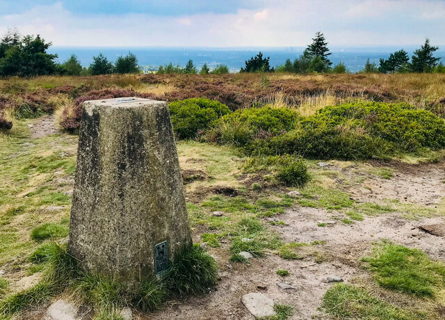
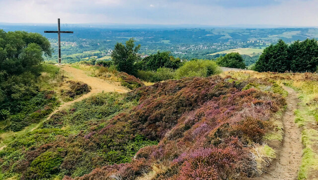
Roach-hey Wood offers a serene and peaceful escape from the bustling city life. Its natural beauty, combined with the soothing sounds of birdsong and the scent of wildflowers, make it a popular destination for walkers, hikers, and nature lovers alike. Whether it's a leisurely stroll or a more adventurous hike, Roach-hey Wood offers an opportunity to connect with nature and appreciate the wonders of Cheshire's woodlands.
If you have any feedback on the listing, please let us know in the comments section below.
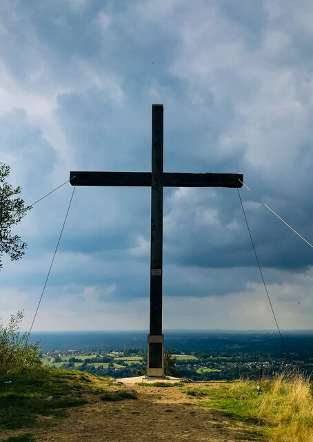
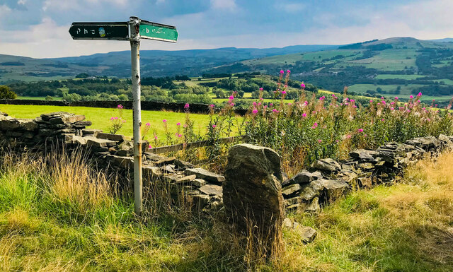
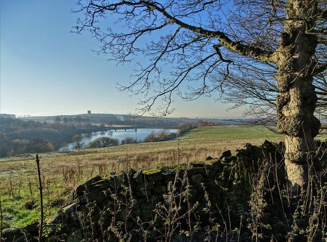
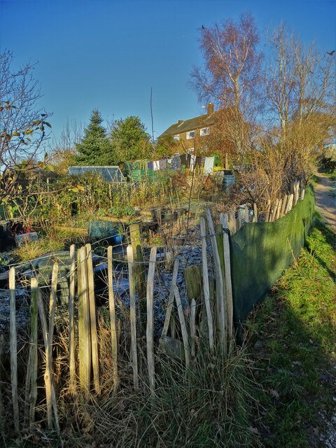
Roach-hey Wood Images
Images are sourced within 2km of 53.366426/-2.0340741 or Grid Reference SJ9785. Thanks to Geograph Open Source API. All images are credited.


Roach-hey Wood is located at Grid Ref: SJ9785 (Lat: 53.366426, Lng: -2.0340741)
Unitary Authority: Cheshire East
Police Authority: Cheshire
What 3 Words
///acting.undertook.wool. Near Disley, Cheshire
Nearby Locations
Related Wikis

Hague Bar
Hague Bar is a hamlet in New Mills, Derbyshire, near Marple and Stockport. The Manchester to Sheffield railway passes through the Goyt valley at this point...

Strines
Strines is a village in Greater Manchester, in the valley of the River Goyt. It is located midway between Marple and New Mills, about six miles south-east...
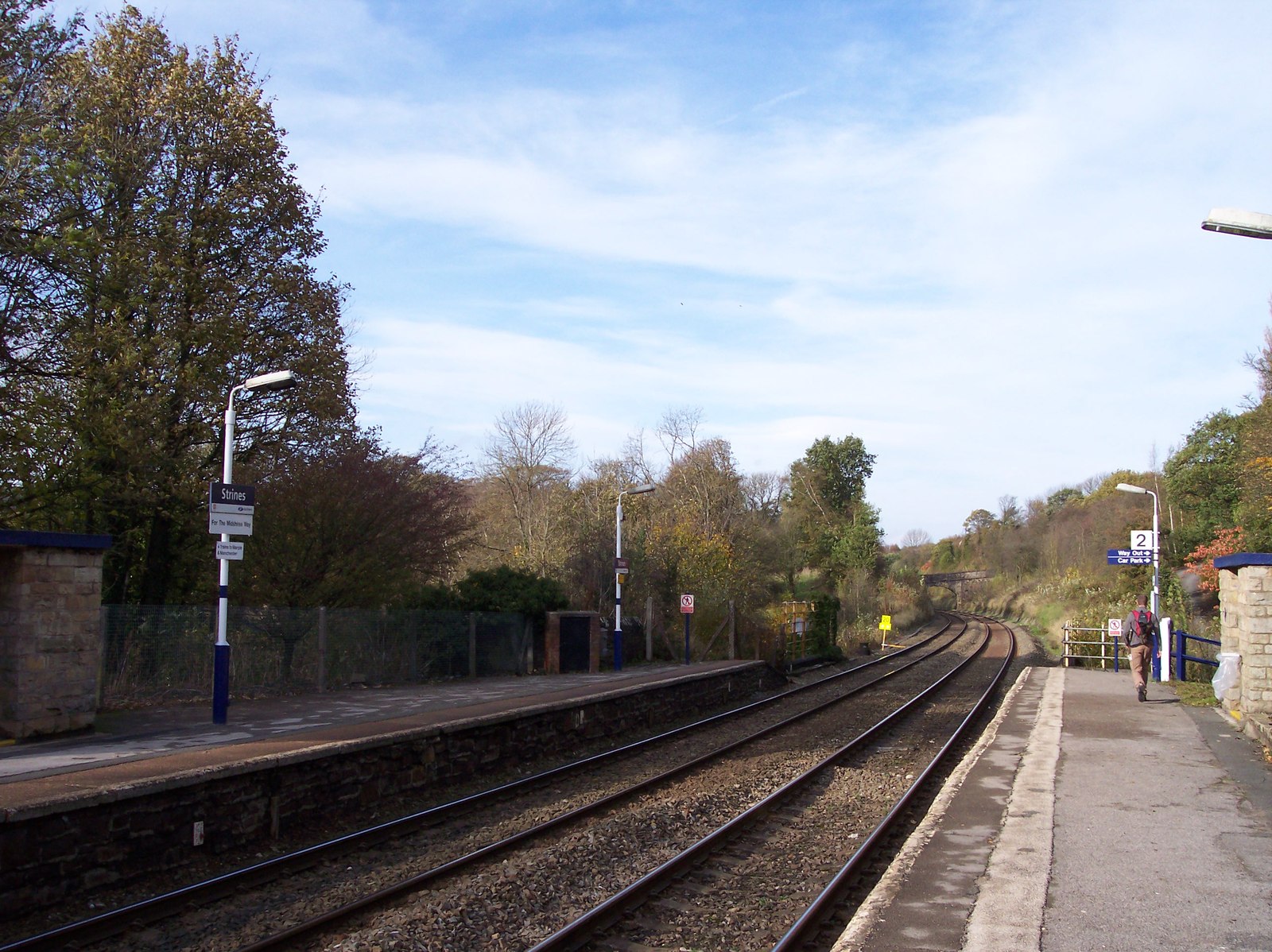
Strines railway station
Strines railway station serves the village of Strines, in the Metropolitan Borough of Stockport, on the outskirts of Greater Manchester, England. Until...

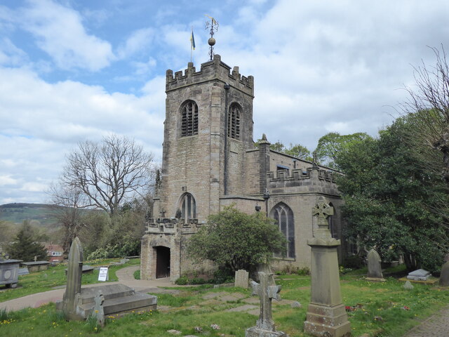
St Mary's Church, Disley
St Mary's Church is an Anglican parish church in the diocese of Chester, the archdeaconry of Macclesfield and the deanery of Chadkirk. It is on a hill...
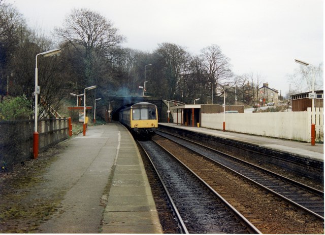
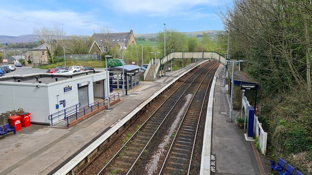
Disley railway station
Disley railway station serves the village of Disley in Cheshire, England. It is 12+1⁄3 miles (19.8 km) south east of Manchester Piccadilly on the Buxton...
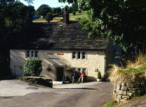
Brookbottom
Brookbottom is a hamlet about a mile outside New Mills in the High Peak borough of Derbyshire, England. It has one pub, the Fox Inn, one phone box but...
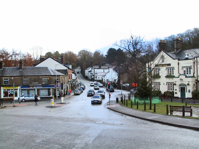
Disley
Disley is a village and civil parish in Cheshire, England. It is located on the edge of the Peak District in the Goyt valley, south of Stockport and close...
Turf Lea
Turf Lea is a hamlet located at the end of The Ridge, above Marple, in the Metropolitan Borough of Stockport, Greater Manchester, UK. Nearby is Wybersley...
Nearby Amenities
Located within 500m of 53.366426,-2.0340741Have you been to Roach-hey Wood?
Leave your review of Roach-hey Wood below (or comments, questions and feedback).