Bricklawn Covert
Wood, Forest in Staffordshire Stafford
England
Bricklawn Covert
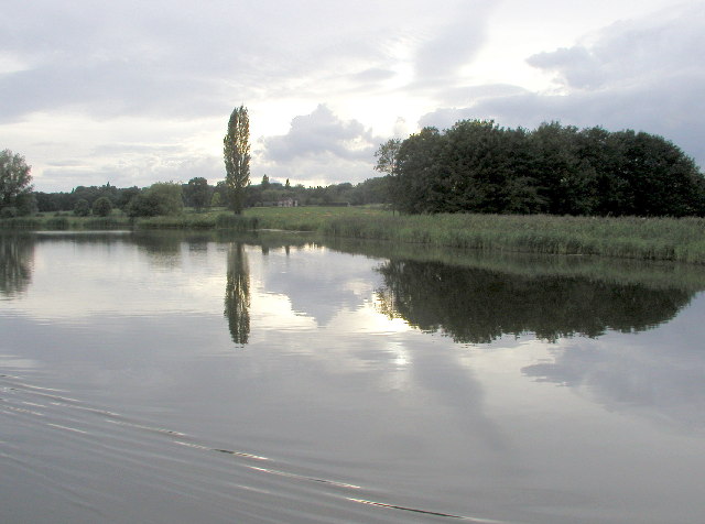
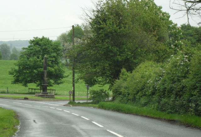
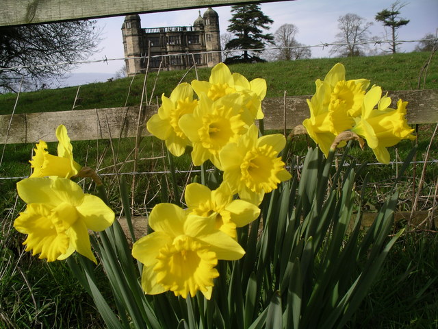
Bricklawn Covert, located in Staffordshire, England, is a picturesque wood and forest area that spans over a significant expanse of land. With its serene and tranquil surroundings, it attracts nature enthusiasts, hikers, and wildlife lovers alike.
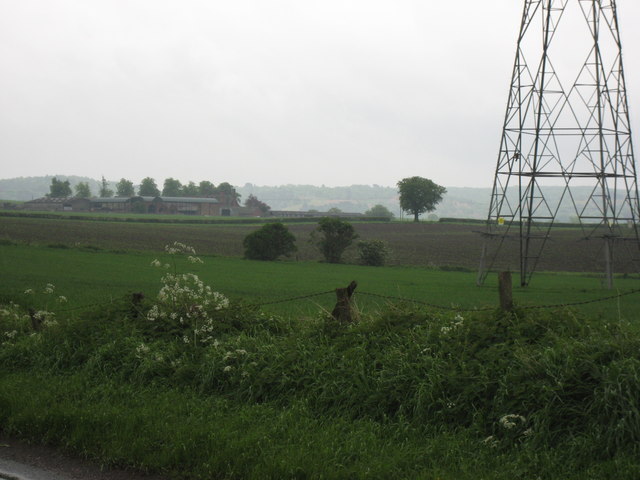
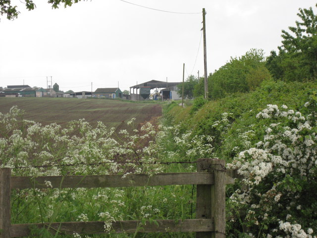
Covering an area of approximately 100 acres, Bricklawn Covert is known for its diverse range of flora and fauna. The woodland is primarily made up of dense deciduous trees, including oak, beech, and birch, which create a thick canopy overhead. This provides a habitat for a variety of woodland creatures such as deer, foxes, badgers, and numerous bird species.
The forest floor is adorned with a carpet of bluebells during spring, creating a breathtaking sight for visitors. The wood's understory is filled with ferns, wildflowers, and mosses, adding to the area's natural beauty.
Bricklawn Covert is crisscrossed by several well-maintained walking trails, making it an ideal location for leisurely strolls or more adventurous hikes. These trails offer visitors the opportunity to explore the woodland at their own pace, while also providing access to scenic viewpoints and hidden groves.
The wood is managed by local authorities, who ensure the preservation of its natural heritage. They conduct regular maintenance to keep the paths clear and protect the wildlife that calls Bricklawn Covert its home.
Overall, Bricklawn Covert in Staffordshire offers a serene retreat for those seeking to immerse themselves in the wonders of nature. Its lush greenery, diverse wildlife, and well-maintained trails make it a must-visit destination for all nature enthusiasts in the area.
If you have any feedback on the listing, please let us know in the comments section below.
Bricklawn Covert Images
Images are sourced within 2km of 52.811497/-2.0345254 or Grid Reference SJ9723. Thanks to Geograph Open Source API. All images are credited.
Bricklawn Covert is located at Grid Ref: SJ9723 (Lat: 52.811497, Lng: -2.0345254)
Administrative County: Staffordshire
District: Stafford
Police Authority: Staffordshire
What 3 Words
///coping.haggis.motorist. Near Great Haywood, Staffordshire
Nearby Locations
Related Wikis

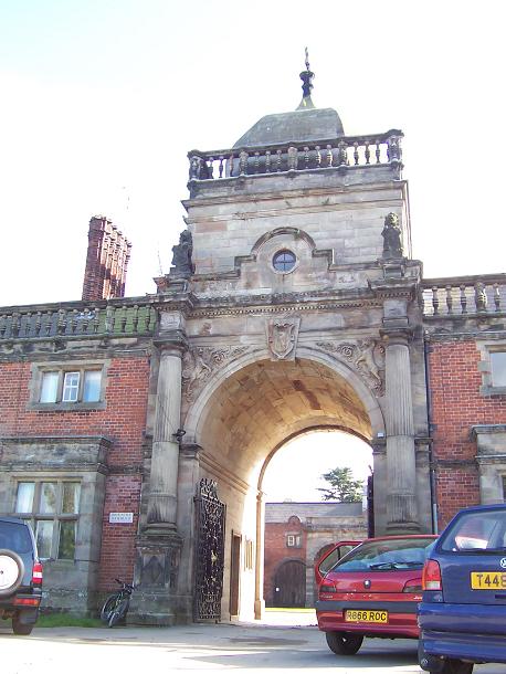
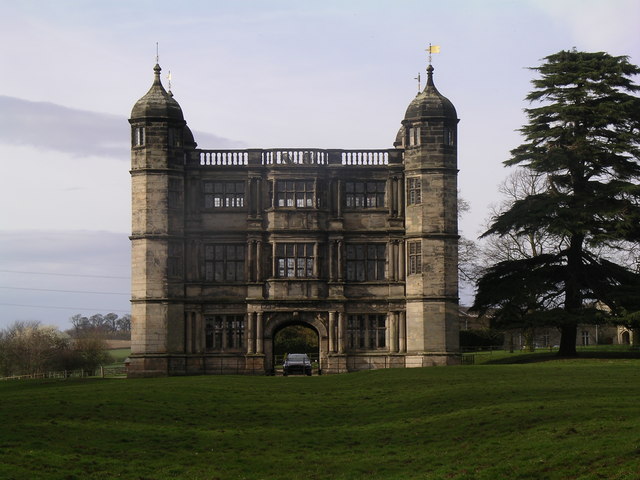
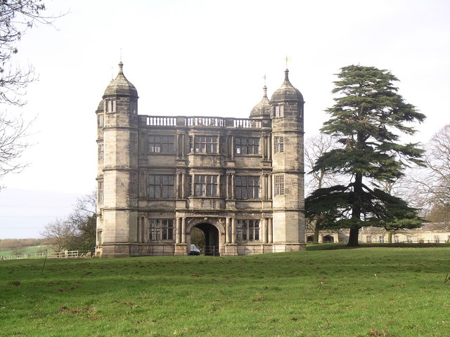
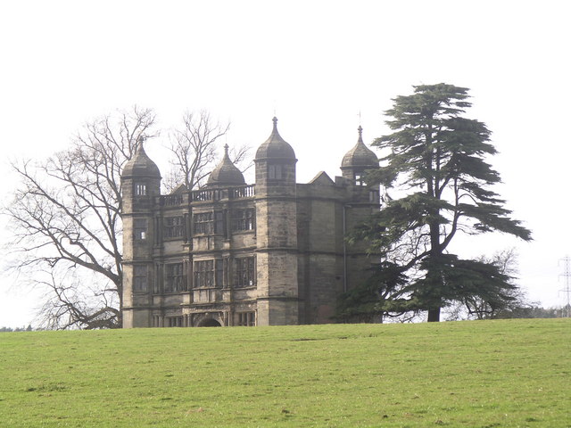
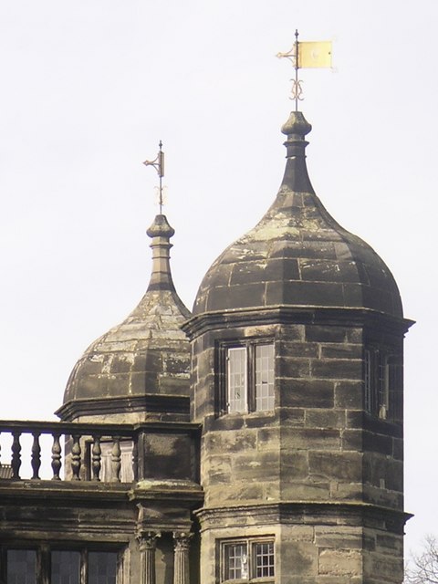
Tixall Gatehouse
Tixall Gatehouse is a 16th-century gatehouse situated at Tixall, near Stafford, Staffordshire and is all that remains of Tixall Hall which was demolished...

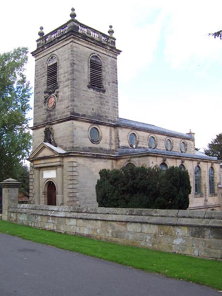
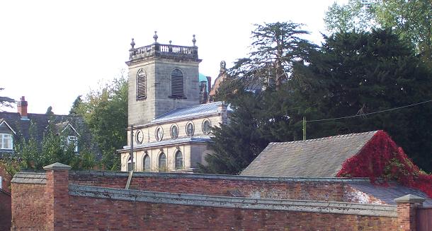
Ingestre Hall
Ingestre Hall is a Grade II* 17th-century Jacobean mansion situated at Ingestre, near Stafford, Staffordshire, England. Formerly the seat of the Earls...

Tixall
Tixall is a small village and civil parish in the Stafford district, in the English county of Staffordshire lying on the western side of the Trent valley...
Ingestre
Ingestre is a village and civil parish in the Stafford district, in the county of Staffordshire, England. The population of the civil parish taken at the...

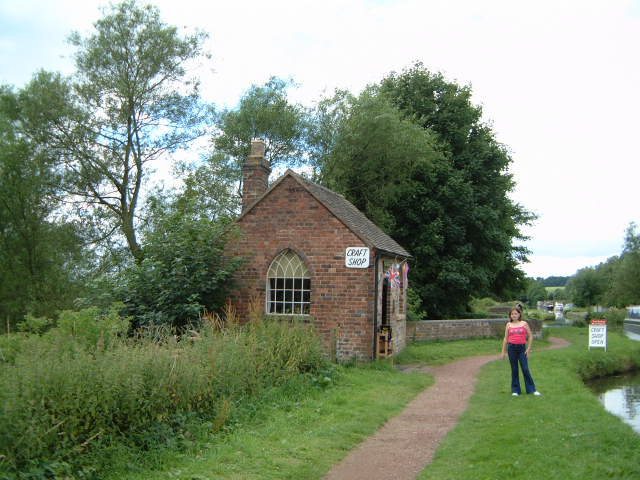
Tixall Wide
Tixall Wide, also known as Tixall Broad or The Broad Water, is a body of water that forms part of the Staffordshire and Worcestershire Canal near Tixall...

Way for the Millennium
The Way for the Millennium is a 41-mile-long (66 km) east–west route across Staffordshire, deliberately designed for easy walking, using towpaths, old...

Shugborough inscription
The Shugborough Inscription is a sequence of letters – O U O S V A V V, between the letters D M on a lower plane – carved on the 18th-century Shepherd...
Black country ring
The Black Country Ring is a UK canal ring composed of the Staffordshire and Worcestershire Canal, Birmingham Main Line, Birmingham and Fazeley Canal, Coventry...
Nearby Amenities
Located within 500m of 52.811497,-2.0345254Have you been to Bricklawn Covert?
Leave your review of Bricklawn Covert below (or comments, questions and feedback).