Near Fell Plantation
Wood, Forest in Yorkshire Craven
England
Near Fell Plantation
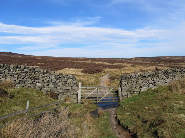
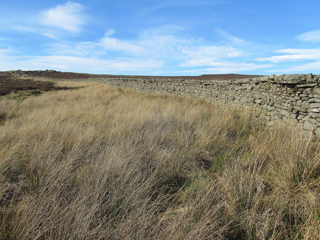
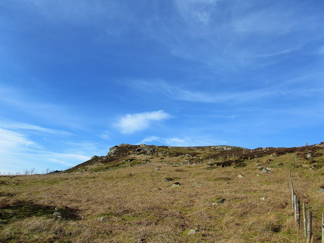
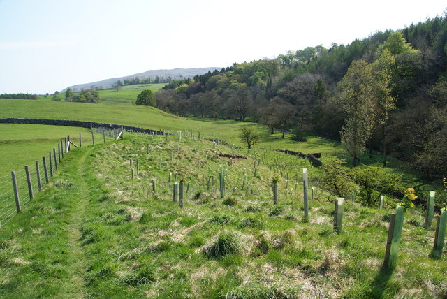
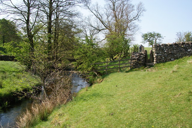
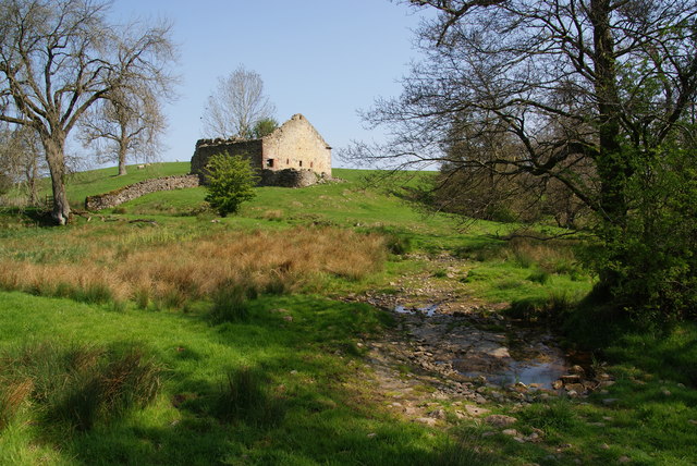
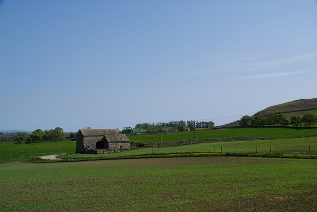
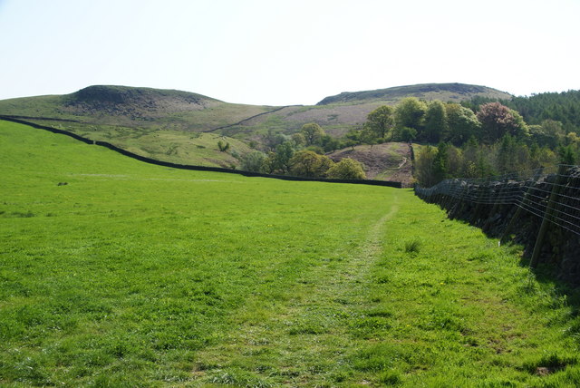
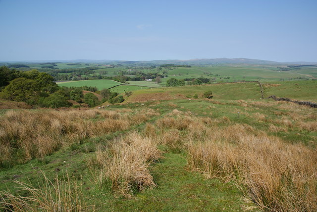
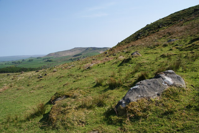
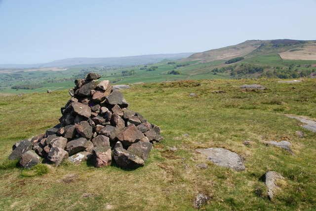
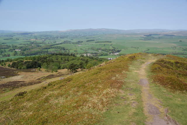
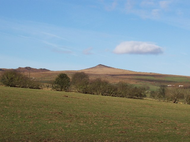
Near Fell Plantation is located in the picturesque county of Yorkshire, England. Situated in the heart of a dense forest, it spans over a vast area, providing a serene and tranquil environment for nature enthusiasts. The plantation is primarily composed of various species of wood, including oak, beech, and pine, which contribute to its diverse ecosystem.
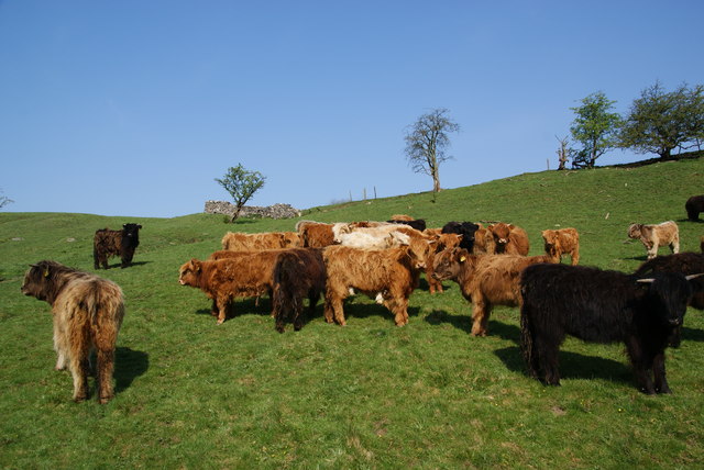
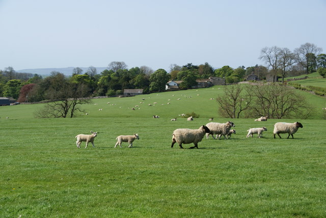
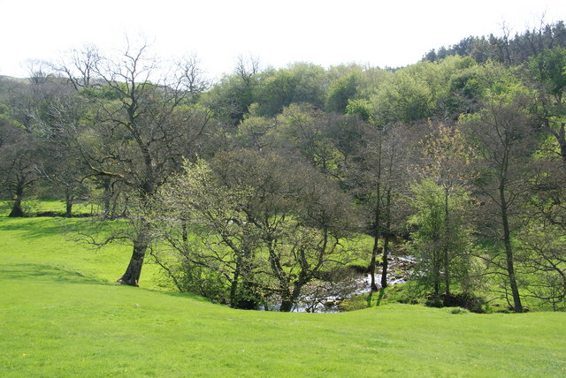
The woodland within Near Fell Plantation is well-preserved and offers a rich habitat for a wide range of flora and fauna. It is home to a myriad of plant species, such as bluebells, ferns, and mosses, creating a vibrant and colorful landscape throughout the year. The plantation's dense tree canopy provides shelter for numerous bird species, including woodpeckers, owls, and songbirds, making it a haven for birdwatchers.
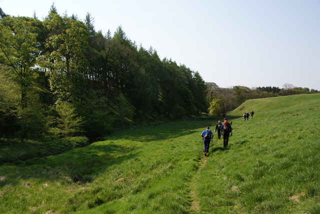
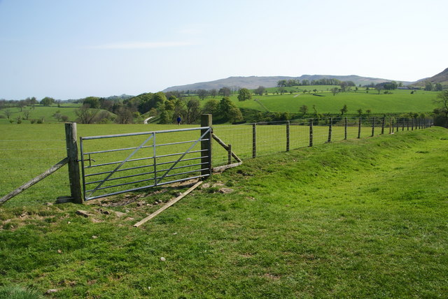
Walking trails meander through the plantation, allowing visitors to explore its natural beauty. These pathways are well-maintained, making it accessible for people of all ages and abilities. The plantation also offers picnic areas and rest spots, providing an ideal setting for families and individuals to relax and enjoy the peaceful surroundings.
Near Fell Plantation is a popular destination for outdoor activities, such as hiking, cycling, and nature photography. Its serene atmosphere and picturesque scenery make it an ideal location for those seeking solace in nature. The plantation also plays a crucial role in the local ecosystem by providing a habitat for diverse wildlife and contributing to the overall biodiversity of the region.
Overall, Near Fell Plantation in Yorkshire is a remarkable woodland with its diverse range of trees, thriving wildlife, and well-maintained trails. It offers a serene and picturesque environment for nature lovers, making it a must-visit destination for those exploring the beauty of Yorkshire.
If you have any feedback on the listing, please let us know in the comments section below.
Near Fell Plantation Images
Images are sourced within 2km of 54.00491/-2.05048 or Grid Reference SD9656. Thanks to Geograph Open Source API. All images are credited.

Near Fell Plantation is located at Grid Ref: SD9656 (Lat: 54.00491, Lng: -2.05048)
Division: West Riding
Administrative County: North Yorkshire
District: Craven
Police Authority: North Yorkshire
What 3 Words
///upward.upwardly.chapels. Near Gargrave, North Yorkshire
Nearby Locations
Related Wikis

Cracoe
Cracoe is a small village and civil parish in the Craven district of North Yorkshire, England. It is situated near to Rylstone and about 6 miles south...
Sharp Haw
Sharp Haw is a hill on the southern edge of the Yorkshire Dales, located just within the National Park. Being the last outpost of the hills before the...

Hetton, North Yorkshire
Hetton is a small Dales village in the civil parish of Hetton-cum-Bordley, in the North Yorkshire district of North Yorkshire, England, situated 5.75 miles...

Rylstone
Rylstone is a village and civil parish in the Craven district of North Yorkshire, England. It is situated very near to Cracoe and about 6 miles south west...

Flasby
Flasby is a hamlet in the Yorkshire Dales in North Yorkshire, England. It is one of the two settlements, with Winterburn, in the civil parish of Flasby...

St Peter's Church, Rylstone
St Peter's Church is in the village of Rylstone, North Yorkshire, England. It is an active Anglican parish church in the deanery of Skipton, the archdeaconry...

Rylstone railway station
Rylstone railway station was a railway station that served the small village of Rylstone in North Yorkshire, England. It was built by the Yorkshire Dales...
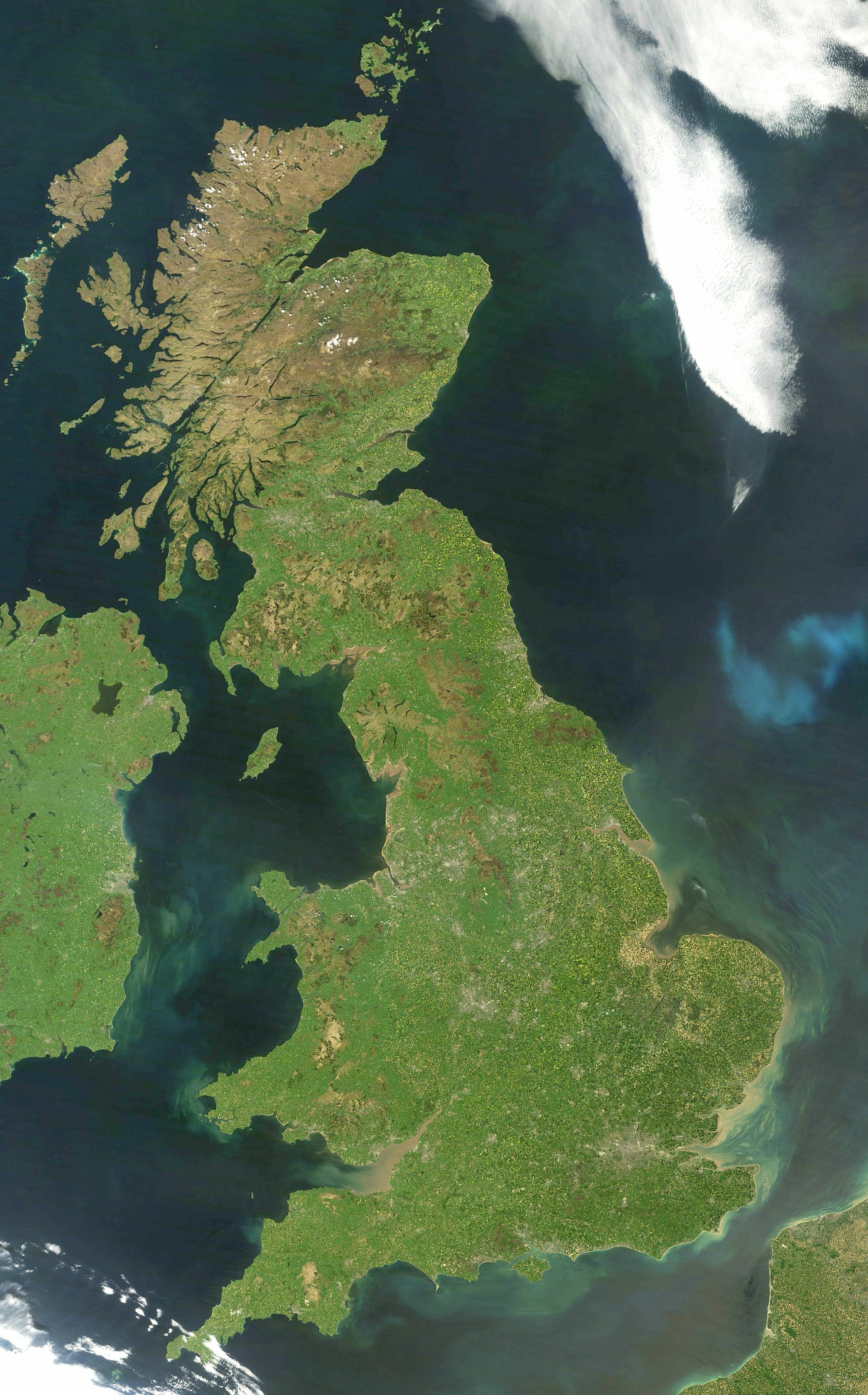
Great Britain
Great Britain is an island in the North Atlantic Ocean off the north-west coast of continental Europe, consisting of England, Scotland and Wales. With...
Nearby Amenities
Located within 500m of 54.00491,-2.05048Have you been to Near Fell Plantation?
Leave your review of Near Fell Plantation below (or comments, questions and feedback).