Shaw Wood

Wood, Forest in Staffordshire Staffordshire Moorlands

England

Shaw Wood

Stone With Benchmark, Gun I think it's a spot height marker, as these are shown on the 1878 maps.
Stone With Benchmark, Gun Credit: Brian Deegan

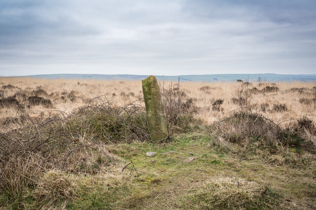
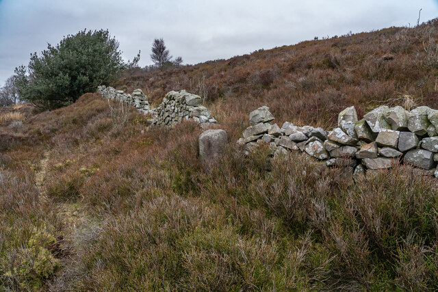
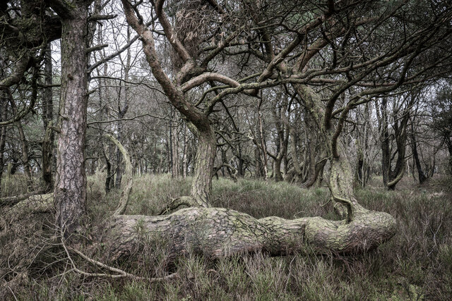
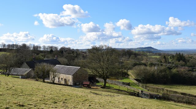
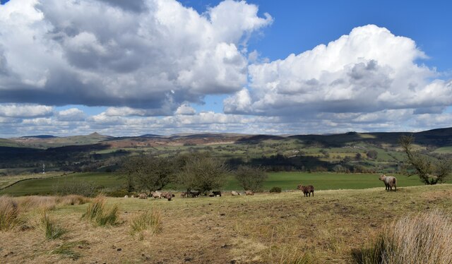
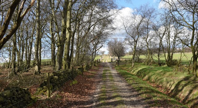
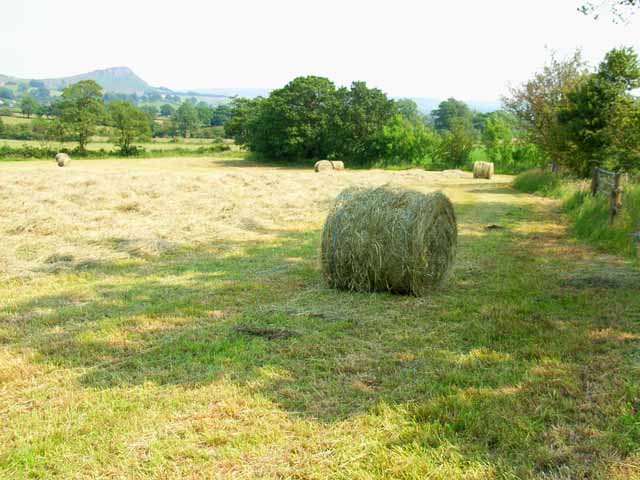
Shaw Wood is a picturesque woodland located in Staffordshire, England. Covering an area of approximately 100 acres, it is a popular destination for nature enthusiasts and outdoor lovers. The wood is primarily composed of broadleaf trees such as oak, beech, and birch, creating a diverse and vibrant ecosystem.

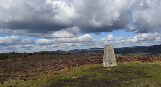
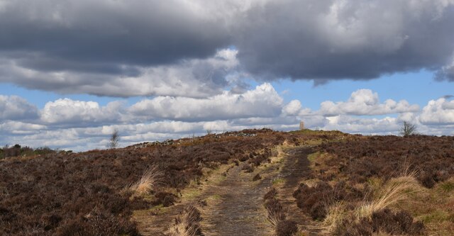
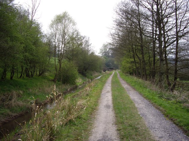
The woodland is known for its tranquil and serene atmosphere, offering visitors a peaceful retreat from the hustle and bustle of daily life. Walking trails meander through the wood, allowing visitors to explore its beauty at their own pace. These paths are well-maintained, making it accessible for both casual strollers and avid hikers.

Shaw Wood is also home to a myriad of wildlife species, including deer, foxes, rabbits, and a wide variety of bird species. Birdwatchers will delight in spotting species such as woodpeckers, owls, and finches, among others. The wood's diverse flora and fauna make it an ideal spot for nature photography and birdwatching enthusiasts.

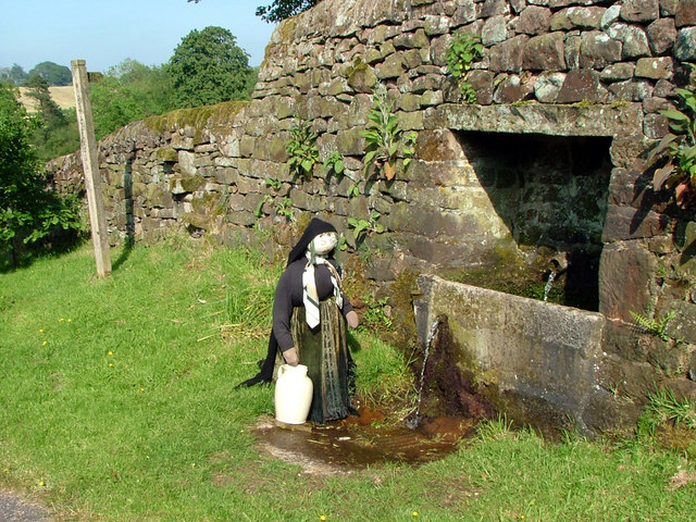
In addition to its natural beauty, Shaw Wood holds historical significance. The wood has been a part of the local landscape for centuries and has witnessed many historical events. It is believed that the wood was once used as a hunting ground by nobility in medieval times.

Overall, Shaw Wood offers a peaceful and scenic experience for nature lovers and history enthusiasts alike. Its lush greenery, diverse wildlife, and well-maintained trails make it a must-visit destination for anyone seeking a connection with nature in Staffordshire.

If you have any feedback on the listing, please let us know in the comments section below.
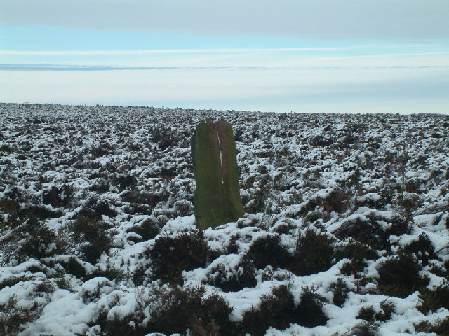
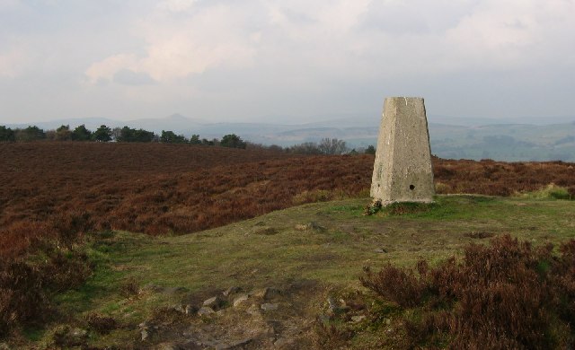
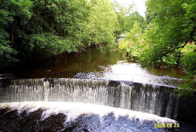
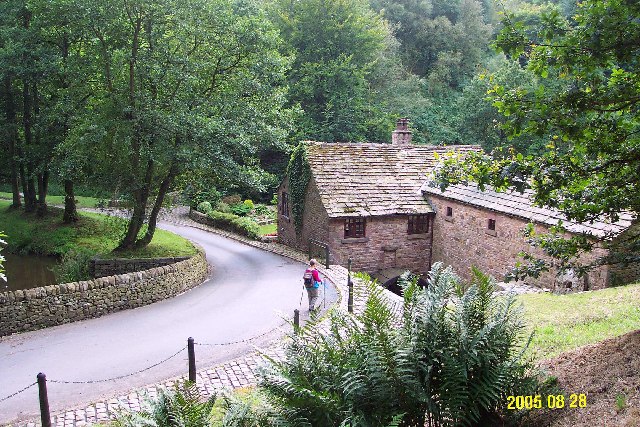
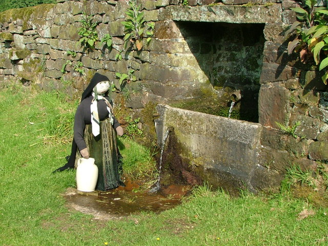
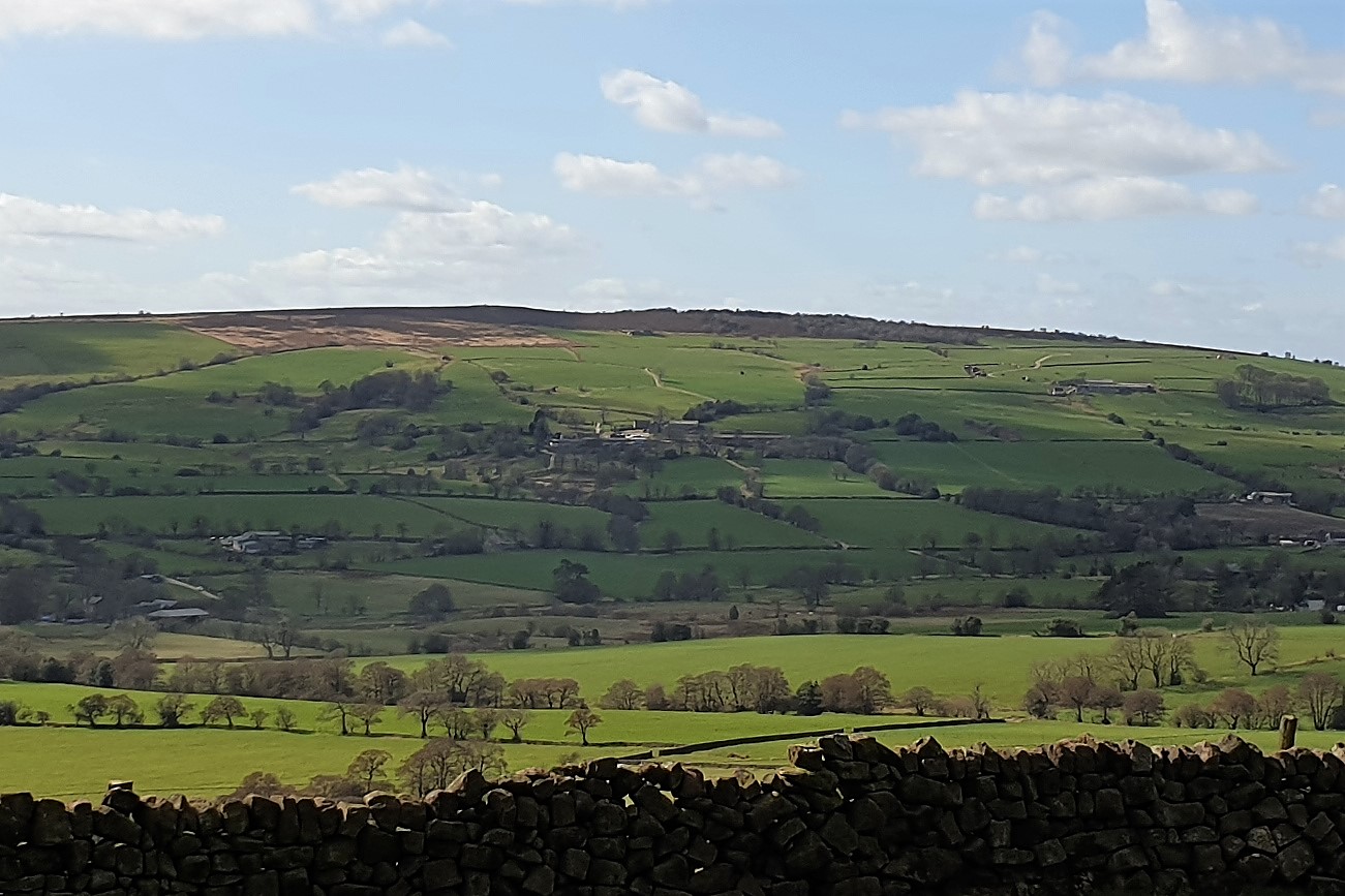
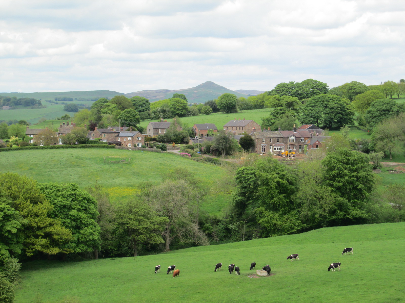
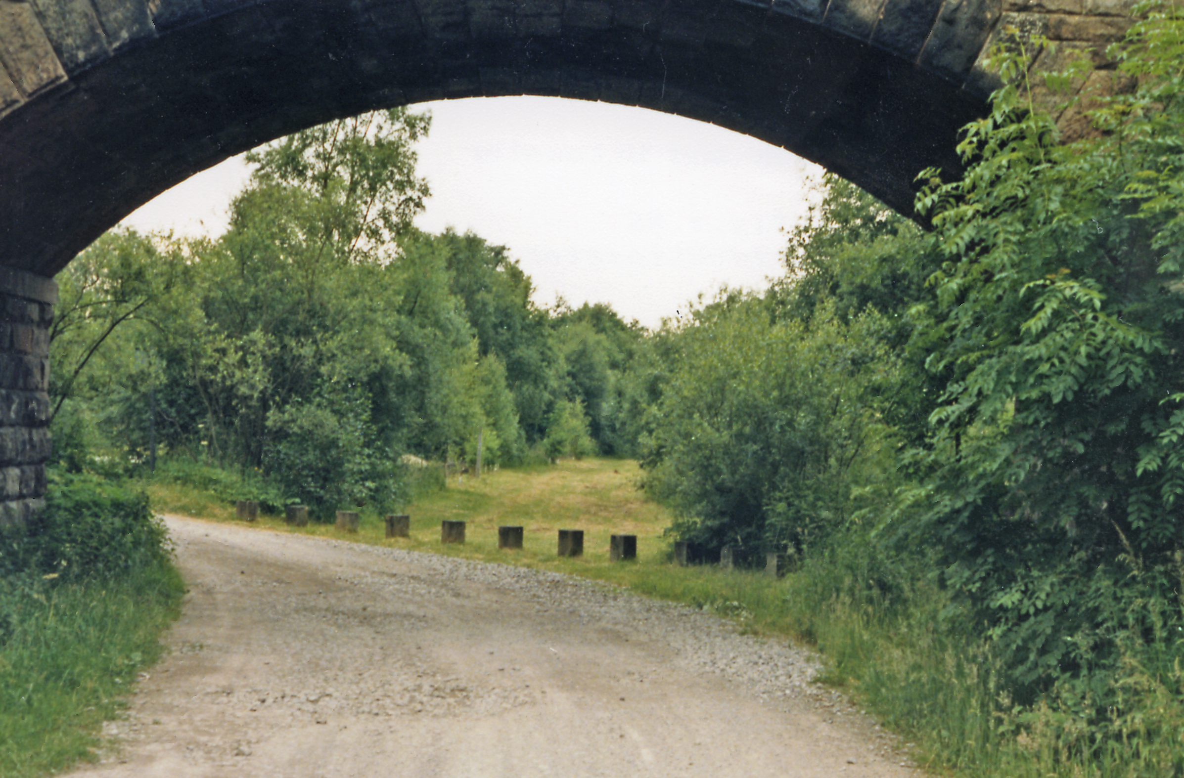
Shaw Wood Images

Images are sourced within 2km of 53.158563/-2.0537237 or Grid Reference SJ9662. Thanks to Geograph Open Source API. All images are credited.

Stone With Benchmark, Gun I think it's a spot height marker, as these are shown on the 1878 maps.
Stone With Benchmark, Gun
I think it's a spot height marker, as these are shown on the 1878 maps.
Boundary Stone (BS) Heaton / Leekfirth The wall runs past on the Leekfirth side of the BS.  Not sure when the Boundary stone's were placed but The wall was probably from the "Leek Inclosure act 1805"


<span class="nowrap"><a title="https://www.staffs-wildlife.org.uk/blog/alan-weeks/history-gun-moor-meadow-and-gun-hill" rel="nofollow ugc noopener" href="https://www.staffs-wildlife.org.uk/blog/alan-weeks/history-gun-moor-meadow-and-gun-hill">Link</a><img style="margin-left:2px;" alt="External link" title="External link - shift click to open in new window" src="https://s1.geograph.org.uk/img/external.png" width="10" height="10"/></span>
Boundary Stone (BS) Heaton / Leekfirth
The wall runs past on the Leekfirth side of the BS. Not sure when the Boundary stone's were placed but The wall was probably from the "Leek Inclosure act 1805" LinkExternal link
Gunn Woods Some strange and gnarly Trees
Gunn Woods
Some strange and gnarly Trees
Cliff Hollins farm. Walking up to Gun.
Cliff Hollins farm.
Walking up to Gun.
Rough Pastureland alongside the path to Gun. Lovely walk up to Gun.
Rough Pastureland alongside the path to Gun.
Lovely walk up to Gun.
The 385 metre summit of Gun. A grand viewpoint.
The 385 metre summit of Gun.
A grand viewpoint.
Path to the summit of Gun. Looking back up towards the Trig pillar.
Path to the summit of Gun.
Looking back up towards the Trig pillar.
Track alongside Gun plantation. A lovely track to follow.
Track alongside Gun plantation.
A lovely track to follow.
Gun South of the summit, on the public footpath
Gun
South of the summit, on the public footpath
Burnt woodland, Gun Start of the path up Gun. A recent moorburn has taken out the birch trees. Birches can take over a moor, and heather does not grow in shade, so this may be considered a result, by the managers of this grouse moor.
Burnt woodland, Gun
Start of the path up Gun. A recent moorburn has taken out the birch trees. Birches can take over a moor, and heather does not grow in shade, so this may be considered a result, by the managers of this grouse moor.
Gun, Summit A hill with a very short name, and mostly grouse moor. The summit is just inside the square, given the OS data for the position of the trig. View north to Shutlingsloe.
Gun, Summit
A hill with a very short name, and mostly grouse moor. The summit is just inside the square, given the OS data for the position of the trig. View north to Shutlingsloe.
Weir on River Dane The River Dane here forms the border between Cheshire and Staffordshire, flowing in a valley traversed by the Dane Valley Way. This weir is 120m upstream from the footbridge (photographer location) near Gig Hall.  Peaceful enough most of the time, but when there has been heavy rain on the Pennines - and despite weirs like this - Northwich (32 km downstream as the crow flies) can still get flooded.
Weir on River Dane
The River Dane here forms the border between Cheshire and Staffordshire, flowing in a valley traversed by the Dane Valley Way. This weir is 120m upstream from the footbridge (photographer location) near Gig Hall. Peaceful enough most of the time, but when there has been heavy rain on the Pennines - and despite weirs like this - Northwich (32 km downstream as the crow flies) can still get flooded.
Bearda Mill, Heaton Viewed looking west. The steep-sided Bearda valley lies SW of Swythamley Hall in the parish of Heaton, Staffs., and drains into the River Dane.  There was a corn mill here in the early 16th century, perhaps even in the early 14th century, but milling ceased in the 1890s. Parts of the mill are incorporated into the present house.
Bearda Mill, Heaton
Viewed looking west. The steep-sided Bearda valley lies SW of Swythamley Hall in the parish of Heaton, Staffs., and drains into the River Dane. There was a corn mill here in the early 16th century, perhaps even in the early 14th century, but milling ceased in the 1890s. Parts of the mill are incorporated into the present house.
Hay bales near Meerbrook On the road from Meadows Farm to Stockmeadows Farm
Hay bales near Meerbrook
On the road from Meadows Farm to Stockmeadows Farm
Old Canal Machinery A feature on the disused feeder canal running from Rudyard Reservoir.
Old Canal Machinery
A feature on the disused feeder canal running from Rudyard Reservoir.
Bridge Over Feeder Canal Showing the disused feeder canal and the footbridge over it
Bridge Over Feeder Canal
Showing the disused feeder canal and the footbridge over it
Axstones Spring with an nice 'step' stile leading over the wall behind. This farm is named after  the Axestone - a pre-Norman 'cross' that stood on nearby Heaton Low.
Axstones Spring
with an nice 'step' stile leading over the wall behind. This farm is named after the Axestone - a pre-Norman 'cross' that stood on nearby Heaton Low.
Axestones Spring The girl with a ewer is one of a local scarecrow trail.
Axestones Spring
The girl with a ewer is one of a local scarecrow trail.
Show me another place!

Shaw Wood is located at Grid Ref: SJ9662 (Lat: 53.158563, Lng: -2.0537237)

Administrative County: Staffordshire

District: Staffordshire Moorlands

Police Authority: Staffordshire

What 3 Words

///dress.unicorns.tips. Near Leek, Staffordshire

Nearby Locations

Shaw Wood

Related Wikis

Gun (Staffordshire)

Gun is a hill at the southern end of the Peak District, overlooking the town of Leek in the Staffordshire Moorlands. The hill is mainly moorland with some...

Heaton, Staffordshire

Heaton is a small village and civil parish in Staffordshire, England. It is about 4 miles (6.4 km) north of Leek and about 7 miles (11 km) south of Macclesfield...

Swythamley Hall

Swythamley Hall is a late 18th-century country house near Leek, Staffordshire which has been converted into four separate residences. It is a Grade II...

Leekfrith

Leekfrith is a civil parish in the Staffordshire Moorlands, in Staffordshire, England, north of the town of Leek. The population of the civil parish at...

Rushton, Staffordshire

Rushton is a civil parish in Staffordshire, England. The village within the civil parish, usually known as Rushton Spencer, is about 4 miles (6.4 km) north...

Cliffe Park railway station

Cliffe Park railway station was opened by the North Staffordshire Railway (NSR) in 1905 on the Churnet Valley line to attract visitors to Rudyard Lake...

Meerbrook

Meerbrook (grid reference SJ989609) is a small village in North Staffordshire, on the River Churnet at the edge of the Peak District National Park. It...

Rushton railway station

Rushton Spencer railway station was a railway station that served the village of Rushton Spencer, Staffordshire. The station was opened by the North Staffordshire...

Nearby Amenities

Located within 500m of 53.158563,-2.0537237
Ele: 290.0000000
Lat/Long: 53.1610394/-2.0525668
Ele: 298.0000000
Lat/Long: 53.1604828/-2.0524583
Ele: 281.0000000
Lat/Long: 53.1617334/-2.0529181
Ele: 277.0000000
Lat/Long: 53.1620434/-2.0530779
Ele: 323.0000000
Lat/Long: 53.1575941/-2.0537063
Ele: 307.0000000
Lat/Long: 53.1595915/-2.0532342
Barrier: stile
Ele: 326.0000000
Steps: 1
Stile: stepover
Lat/Long: 53.1550514/-2.0531417
Barrier: stile
Ele: 303.0000000
Steps: 1
Stile: stepover
Lat/Long: 53.1600845/-2.052511
The data included in this document is from www.openstreetmap.org. The data is made available under ODbL.

Have you been to Shaw Wood?

Leave your review of Shaw Wood below (or comments, questions and feedback).