Snapegate Plantation

Wood, Forest in Durham

England

Snapegate Plantation

Cairn and rocks at Bollihope Carrs The ridge reaching Carrs Top between the Wear Valley and Bollihope is almost entirely grassy but at Bollihope Carrs there's an extensive if low rock outcrop with angular boulders exposed at the crest; some smaller rocks have been gathered to form a cairn. The distant view is to the north side of Weardale with the side valley of Rook Hope, tree lined and seen to the left of the cairn.
Cairn and rocks at Bollihope Carrs Credit: Trevor Littlewood

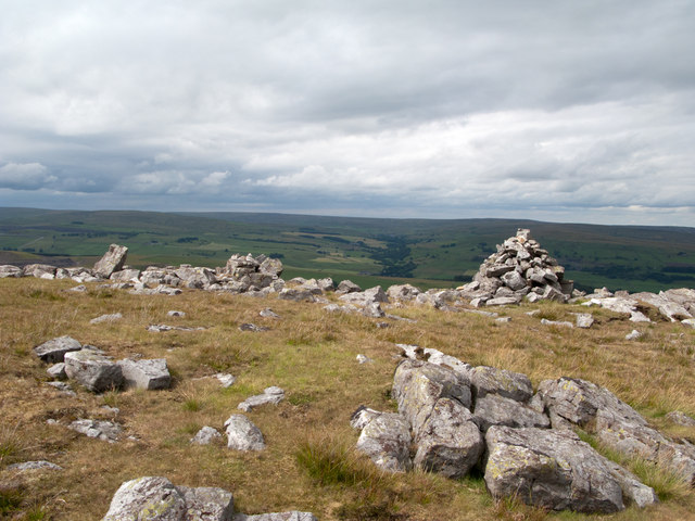
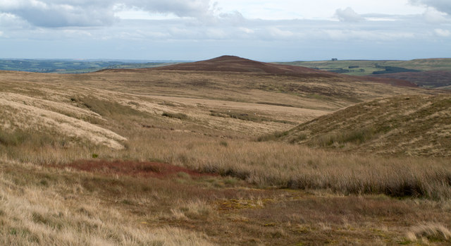
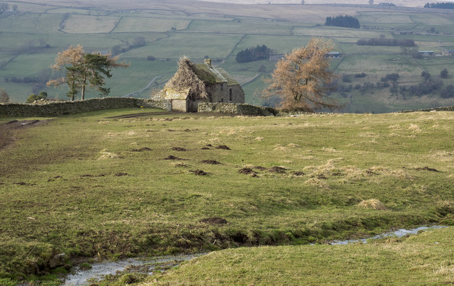
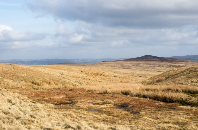
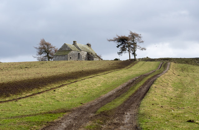
Snapegate Plantation is a picturesque woodland area located in Durham, England. Spread across an expansive area, it is known for its dense forests and natural beauty. The plantation is situated near the small village of Snape, which gives it its name.

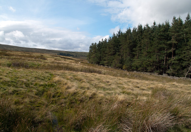
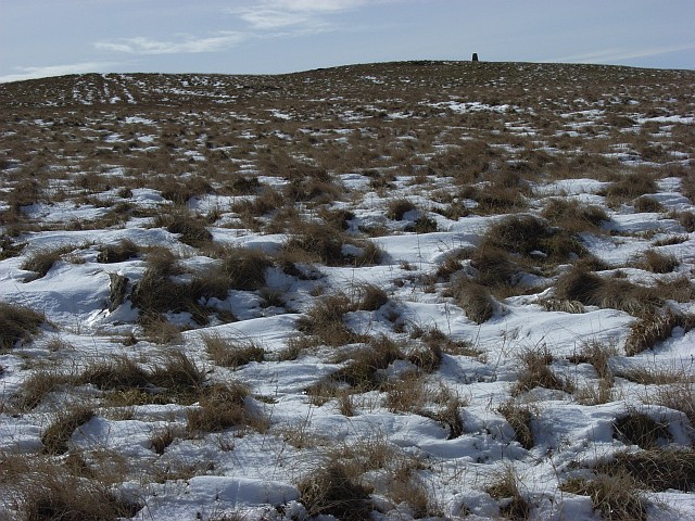
The woodland in Snapegate Plantation is primarily composed of deciduous trees, with a mix of oak, beech, and ash trees dominating the landscape. These majestic trees create a vibrant canopy, offering shade and shelter to a diverse range of wildlife. The forest floor is adorned with a variety of wildflowers, ferns, and mosses, creating a rich tapestry of colors.

The plantation is home to a myriad of animal species, making it a haven for nature enthusiasts and wildlife photographers. Visitors can spot a wide array of bird species, including woodpeckers, owls, and various songbirds. Mammals such as deer, foxes, and rabbits also inhabit the area, adding to the charm of the woodland.

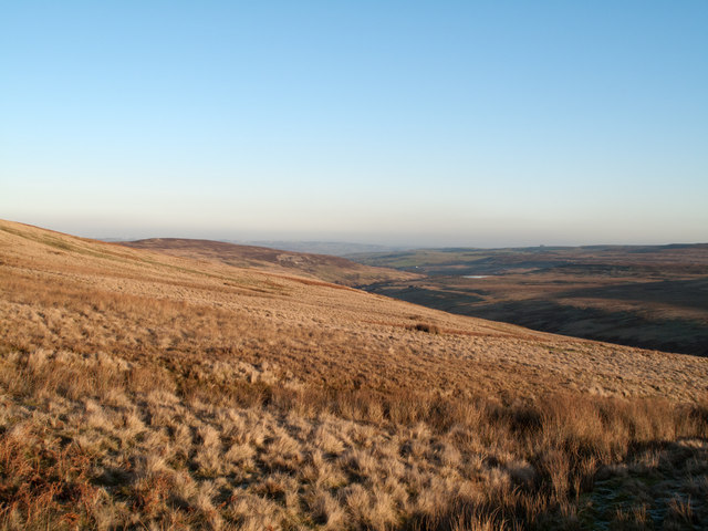
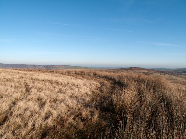
Snapegate Plantation offers several walking trails, allowing visitors to explore its natural wonders at their own pace. These paths weave through the trees, offering breathtaking views of the surrounding countryside. The plantation is known for its serene atmosphere, making it an ideal location for peaceful walks and picnics.

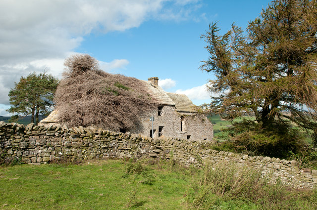
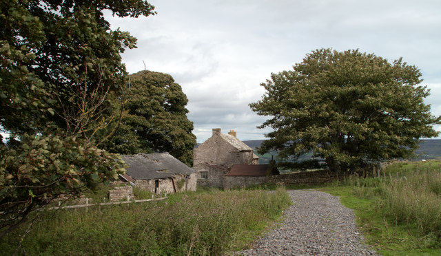
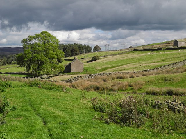
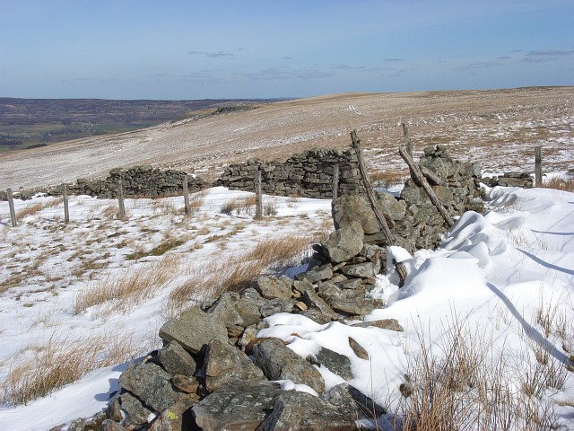
In addition to its natural beauty, Snapegate Plantation has historical significance. It was once part of a larger estate and has witnessed centuries of human activity. Remnants of old structures, such as stone walls and ruins, can still be found within the woodland, adding an air of mystery and intrigue.

Overall, Snapegate Plantation is a captivating woodland retreat that combines natural splendor with historical intrigue. It offers visitors a chance to immerse themselves in nature and enjoy the tranquility of the Durham countryside.

If you have any feedback on the listing, please let us know in the comments section below.

Snapegate Plantation Images

Images are sourced within 2km of 54.72393/-2.0567615 or Grid Reference NY9636. Thanks to Geograph Open Source API. All images are credited.

Cairn and rocks at Bollihope Carrs The ridge reaching Carrs Top between the Wear Valley and Bollihope is almost entirely grassy but at Bollihope Carrs there's an extensive if low rock outcrop with angular boulders exposed at the crest; some smaller rocks have been gathered to form a cairn. The distant view is to the north side of Weardale with the side valley of Rook Hope, tree lined and seen to the left of the cairn.
Cairn and rocks at Bollihope Carrs
The ridge reaching Carrs Top between the Wear Valley and Bollihope is almost entirely grassy but at Bollihope Carrs there's an extensive if low rock outcrop with angular boulders exposed at the crest; some smaller rocks have been gathered to form a cairn. The distant view is to the north side of Weardale with the side valley of Rook Hope, tree lined and seen to the left of the cairn.
Birkshaw Birkshaw is one of an number of old farmsteads in the vicinity which have been abandoned or at least are deserted. Another abandoned feature seen here is a public footpath: below the centre of the image the through stones of a stile can be seen in the wall, and above them a notice attached to a pole. The notice tells that a path heading east from Birkshaw is not useable due to quarrying; this is odd! This notice and others were erected just a few years ago and yet the quarrying operation ended many decades ago, possibly in the 1940s.
Birkshaw
Birkshaw is one of an number of old farmsteads in the vicinity which have been abandoned or at least are deserted. Another abandoned feature seen here is a public footpath: below the centre of the image the through stones of a stile can be seen in the wall, and above them a notice attached to a pole. The notice tells that a path heading east from Birkshaw is not useable due to quarrying; this is odd! This notice and others were erected just a few years ago and yet the quarrying operation ended many decades ago, possibly in the 1940s.
Snape Gate Horsley Burn is a tributary stream to the River Wear flowing north-east to join it west of Stanhope. Enclosures rise on the south side of the burn eventually giving way to grassy moorland; among the enclosures on that slope there's a surprising number of old farmsteads no longer in use. Some of the buildings are now ruins others merely abandoned; Snape Gate is one of that last group.
Snape Gate
Horsley Burn is a tributary stream to the River Wear flowing north-east to join it west of Stanhope. Enclosures rise on the south side of the burn eventually giving way to grassy moorland; among the enclosures on that slope there's a surprising number of old farmsteads no longer in use. Some of the buildings are now ruins others merely abandoned; Snape Gate is one of that last group.
Snapegate Plantation The southern side of Snapegate Plantation is seen in this image where it abuts on to grassy moorland rising (leftwards) towards the ridge of Carrs Top.
Snapegate Plantation
The southern side of Snapegate Plantation is seen in this image where it abuts on to grassy moorland rising (leftwards) towards the ridge of Carrs Top.
Feeding stream of Jopla Sike The 'bruised line' of a quad bike route descends from Carrs Top over Turfhill End and from there has this view through one of the shallow feeding streams of Jopla Sike. The heather covered hill in the distance is Catterick, looking uncharacteristically shapely in this view.
Feeding stream of Jopla Sike
The 'bruised line' of a quad bike route descends from Carrs Top over Turfhill End and from there has this view through one of the shallow feeding streams of Jopla Sike. The heather covered hill in the distance is Catterick, looking uncharacteristically shapely in this view.
Slope of northern side of upper Bollihope The Bollihope Burn is a significant tributary of the River Wear. The view here is along the grassy northern flank of the upper valley with the hill, Catterick in view left of centre. The Bollihope Burn is of course down-slope to the right.
Slope of northern side of upper Bollihope
The Bollihope Burn is a significant tributary of the River Wear. The view here is along the grassy northern flank of the upper valley with the hill, Catterick in view left of centre. The Bollihope Burn is of course down-slope to the right.
A 'Watter Rord' east of Carr's Top Once when walking in the area east of Carr's Top between the Bollihope Burn and Weardale, there was shepherding activity and coming upon a farmer we were asked to avoid disturbance by keeping to the 'watter rord' - the water road - meaning a water cut or leet around the slope of the hill; this is not that cut but another. The purpose of these leets was two fold; to intercept streams draining down hill and to transport their water to another location for use. In this part of County Durham that would almost certainly be in the metal mining industry.
A 'Watter Rord' east of Carr's Top
Once when walking in the area east of Carr's Top between the Bollihope Burn and Weardale, there was shepherding activity and coming upon a farmer we were asked to avoid disturbance by keeping to the 'watter rord' - the water road - meaning a water cut or leet around the slope of the hill; this is not that cut but another. The purpose of these leets was two fold; to intercept streams draining down hill and to transport their water to another location for use. In this part of County Durham that would almost certainly be in the metal mining industry.
West Newlandside farm One of the many abandoned farmhouses in this part of Weardale.
West Newlandside farm
One of the many abandoned farmhouses in this part of Weardale.
Birkshaw Birkshaw is a deserted farmhouse on the south side of Weardale; its present use is as a repository for farm and household junk!
Birkshaw
Birkshaw is a deserted farmhouse on the south side of Weardale; its present use is as a repository for farm and household junk!
Stream head near Turfhill End The stream is one of the 'Jopla Grains' - a series of streamlets that feed water into Bollihope Burn, a tributary of the River Wear. Catterick is the hill darkened by its heather covering and by cloud shadow.
Stream head near Turfhill End
The stream is one of the 'Jopla Grains' - a series of streamlets that feed water into Bollihope Burn, a tributary of the River Wear. Catterick is the hill darkened by its heather covering and by cloud shadow.
Public footpath climbing towards Birkside Birkside is a deserted farmhouse on the south side of Weardale; its present use is as a store for household and farm junk! The muddied road is also the route of a public footpath.
Public footpath climbing towards Birkside
Birkside is a deserted farmhouse on the south side of Weardale; its present use is as a store for household and farm junk! The muddied road is also the route of a public footpath.
Horsley Hall Country House Hotel A 17th Century Hall, on the south bank of the River Wear.
Horsley Hall Country House Hotel
A 17th Century Hall, on the south bank of the River Wear.
Horsley Hall starting to show Autumn colour
Shooting hut remains near Turfhill End Old wagons are scattered across the moors, usually in a sorry state. Unlike this one, most don't seem to make it onto OS maps.
Shooting hut remains near Turfhill End
Old wagons are scattered across the moors, usually in a sorry state. Unlike this one, most don't seem to make it onto OS maps.
Bollihope Carrs The cairn marked on the 1:25000 map. The trig point is on the horizon.
Bollihope Carrs
The cairn marked on the 1:25000 map. The trig point is on the horizon.
Between Bollihope Carrs and Snowhope Carrs I wonder what sort of experimentation. This is beside Ewestone Currick, an untidy cairn/shelter in a stony patch on an otherwise grassy stretch of moor. Snowhope Carrs are in the background. In mid distance is the wall corner near Snowhope Burn.
Between Bollihope Carrs and Snowhope Carrs
I wonder what sort of experimentation. This is beside Ewestone Currick, an untidy cairn/shelter in a stony patch on an otherwise grassy stretch of moor. Snowhope Carrs are in the background. In mid distance is the wall corner near Snowhope Burn.
Bollihope Carrs Looking up to the trig point on grass above the band of boulders (the carrs).
Bollihope Carrs
Looking up to the trig point on grass above the band of boulders (the carrs).
Snowhope Moor Looking across the flank of the moor to the rocks on Bollihope Carrs.
Snowhope Moor
Looking across the flank of the moor to the rocks on Bollihope Carrs.
Show me another place!

Snapegate Plantation is located at Grid Ref: NY9636 (Lat: 54.72393, Lng: -2.0567615)

Unitary Authority: County Durham

Police Authority: Durham

What 3 Words

///endearing.hydrant.inherit. Near Stanhope, Co. Durham

Nearby Locations

Snapegate Plantation

Related Wikis

West Newlandside Meadows

West Newlandside Meadows is a Site of Special Scientific Interest in the Wear Valley district of County Durham, England. It lies 3 km south-west of the...
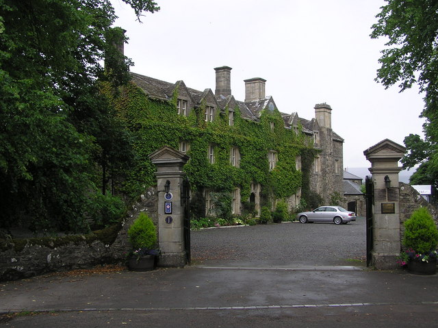
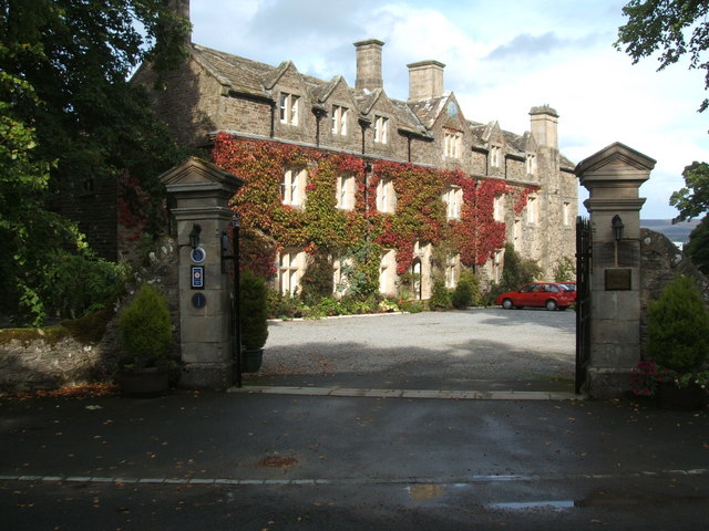
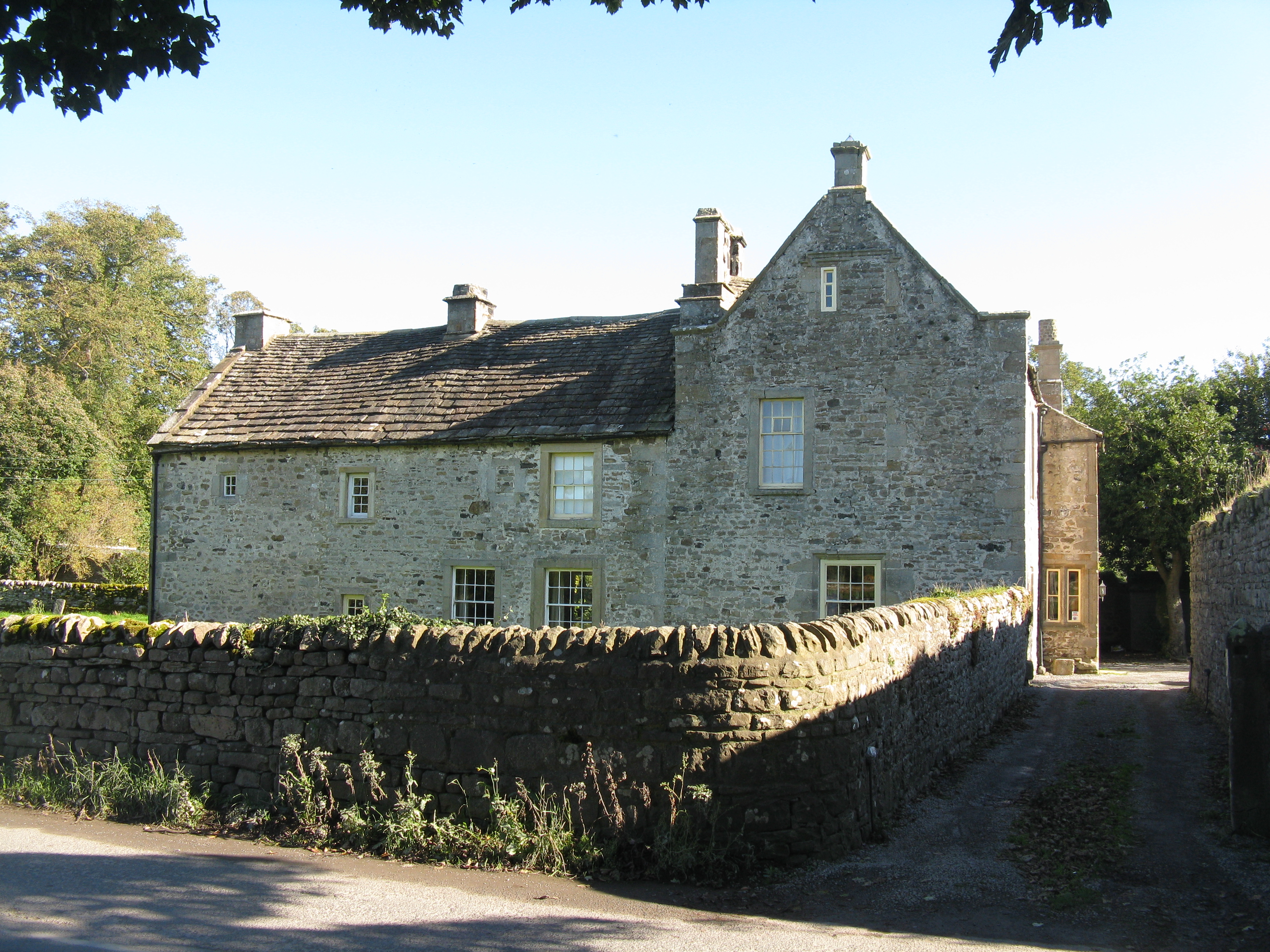
Horsley Hall

Horsley Hall is a 17th-century country house, now in use as a hotel, near Stanhope, County Durham, England. It is a Grade II listed building. The manor...

Eastgate railway station

Eastgate railway station, also known as Eastgate-in-Weardale, served the village of Eastgate in County Durham, North East England from 1895 to 1953 as...

Eastgate, County Durham

Eastgate is a village in the civil parish of Stanhope, in County Durham, England. It is situated in Weardale, a few miles west of Stanhope. In the 2001...

Fairy Holes Cave

Fairy Holes Cave is a Site of Special Scientific Interest in the Wear Valley district of west County Durham, England. It is located on the western flanks...

Westernhope Burn Wood

Westernhope Burn Wood is a Site of Special Scientific Interest in the Wear Valley district of south-west County Durham, England. It occupies the steeply...

Greenfoot Quarry

Greenfoot Quarry is a Site of Special Scientific Interest in the Wear Valley district of west County Durham, England. It is a disused quarry, situated...

Unthank, Stanhope

Unthank is a collection of houses in the civil parish of Stanhope, in County Durham, England. Unthank can be found just over Stanhope Ford and at the bottom...

Nearby Amenities

Located within 500m of 54.72393,-2.0567615
The data included in this document is from www.openstreetmap.org. The data is made available under ODbL.

Have you been to Snapegate Plantation?

Leave your review of Snapegate Plantation below (or comments, questions and feedback).