Dean Plantation
Wood, Forest in Northumberland
England
Dean Plantation
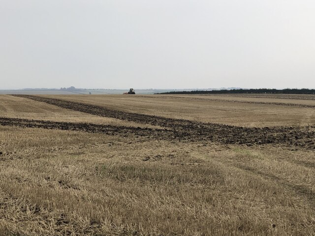
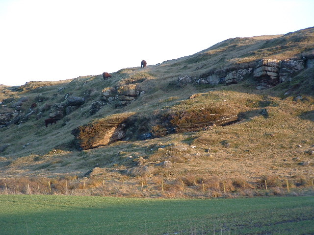
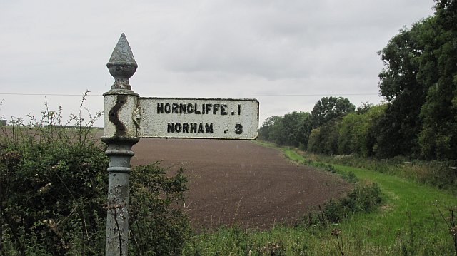
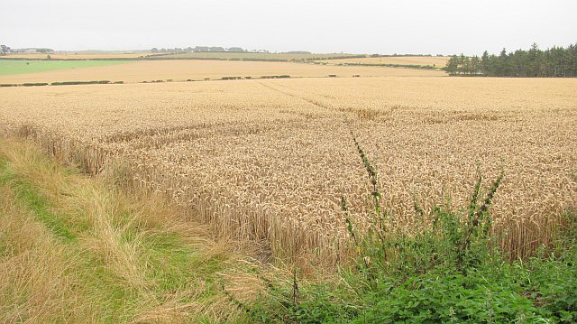
Dean Plantation is a picturesque woodland area located in Northumberland, England. Covering a vast expanse of land, it is known for its dense forests and captivating natural beauty. The plantation is situated on the eastern edge of Northumberland National Park, offering visitors a serene and peaceful environment to explore.
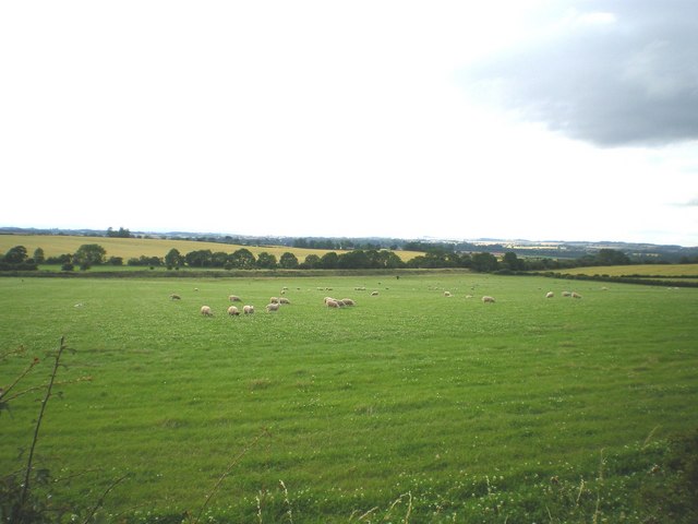
The woodland is predominantly composed of a diverse range of tree species, including oak, ash, beech, and birch. These trees provide shelter and habitats for a wide variety of wildlife, making Dean Plantation a haven for nature enthusiasts. Visitors may encounter red squirrels, foxes, badgers, and an array of bird species, making it an ideal spot for birdwatching and wildlife photography.
Tranquil walking trails wind their way through the plantation, allowing visitors to immerse themselves in the sights and sounds of nature. The paths are well-maintained, making it accessible for all ages and fitness levels. Along the way, there are several designated picnic areas where visitors can relax and enjoy a packed lunch amidst the peaceful surroundings.
Dean Plantation is also rich in history, with remnants of ancient settlements and archaeological sites scattered throughout the area. These include the remains of stone circles and burial mounds, providing a glimpse into the past and adding a sense of mystery to the woodland.
Overall, Dean Plantation in Northumberland is a captivating destination for those seeking tranquility, natural beauty, and a connection with history. Whether exploring the woodland trails, observing the diverse wildlife, or delving into its ancient past, visitors are sure to be enchanted by the charm and serenity of this remarkable woodland area.
If you have any feedback on the listing, please let us know in the comments section below.
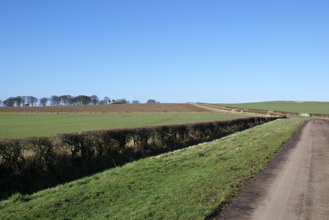
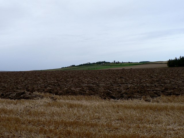
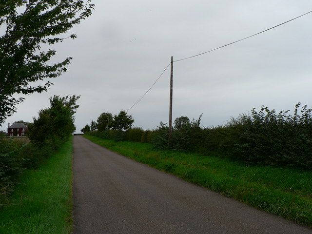
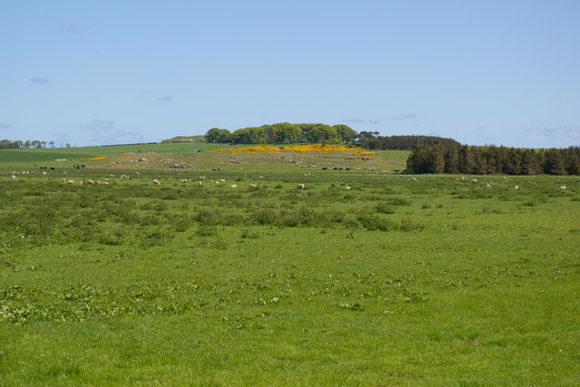
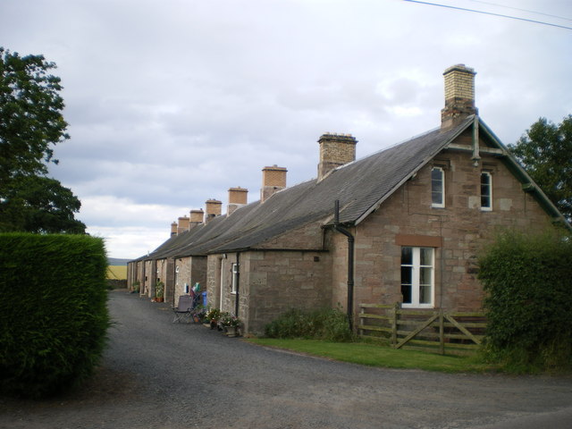
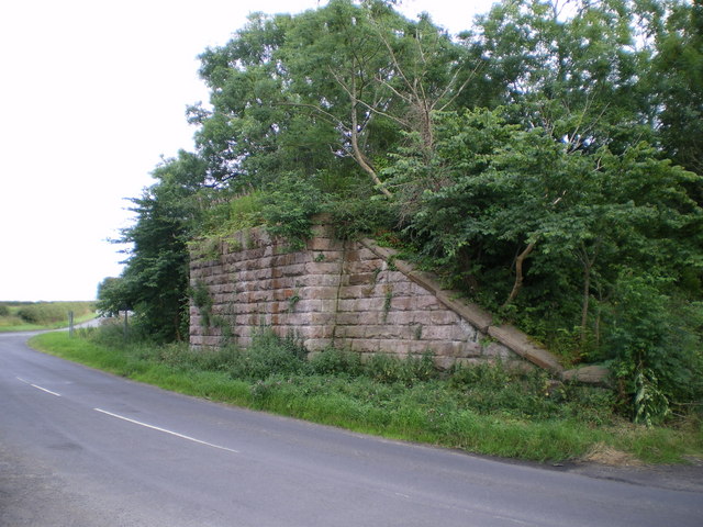
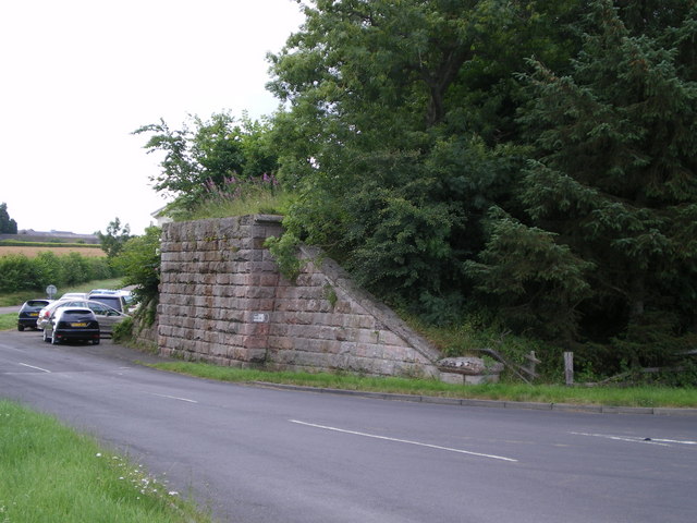
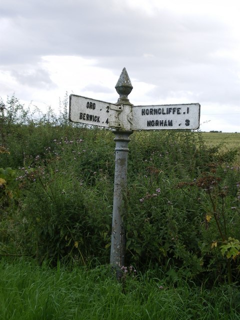
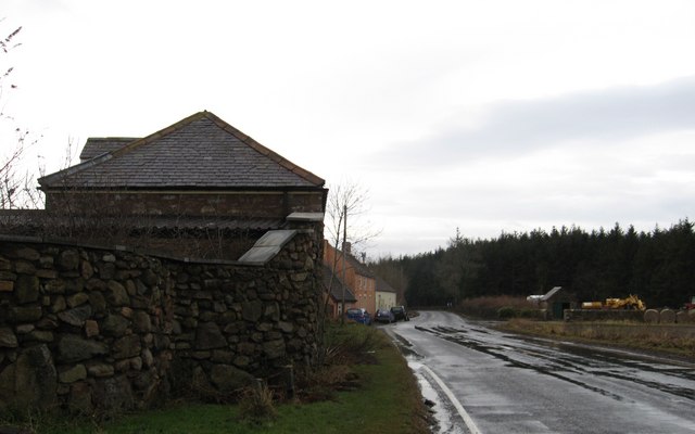
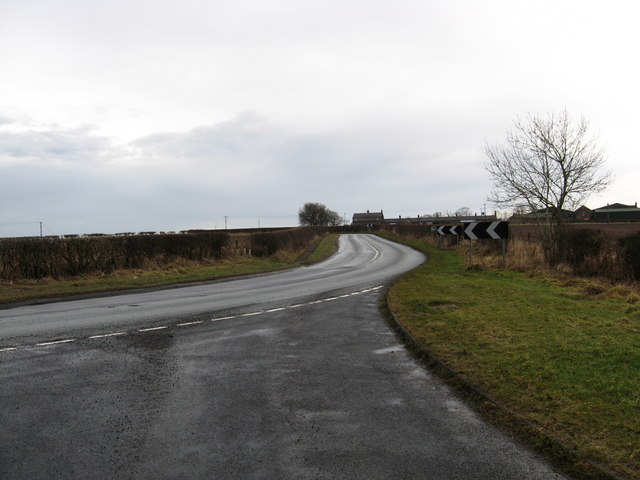
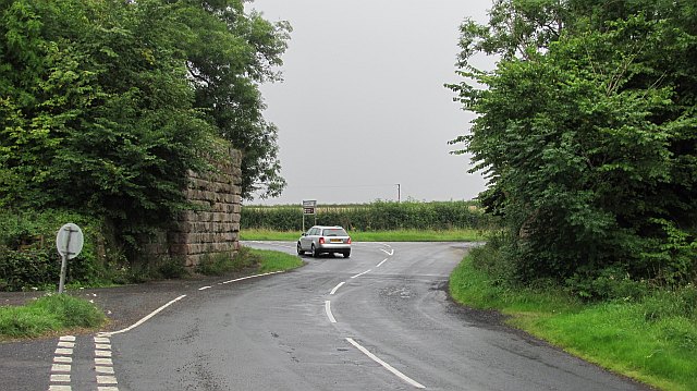
Dean Plantation Images
Images are sourced within 2km of 55.740749/-2.068922 or Grid Reference NT9549. Thanks to Geograph Open Source API. All images are credited.
Dean Plantation is located at Grid Ref: NT9549 (Lat: 55.740749, Lng: -2.068922)
Unitary Authority: Northumberland
Police Authority: Northumbria
What 3 Words
///calculating.indicated.bookcases. Near Berwick-Upon-Tweed, Northumberland
Nearby Locations
Related Wikis

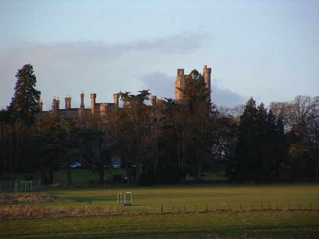
Longridge Towers School
Longridge Towers School is a non-selective co-educational independent day and boarding school in the parish of Horncliffe (formerly Longridge) near Berwick...

Middle Ord
Middle Ord is a small hamlet, between West Ord and East Ord, and west of the town of Berwick upon Tweed, Northumberland England. The population as of March...
Velvet Hall railway station
Velvet Hall railway station was a railway station which served the village of Horncliffe in Northumberland, England. == History == The station opened on...

Whiteadder Water
Whiteadder Water is a river in East Lothian and Berwickshire, Scotland. It also flows for a very short distance through Northumberland before joining...
Nearby Amenities
Located within 500m of 55.740749,-2.068922Have you been to Dean Plantation?
Leave your review of Dean Plantation below (or comments, questions and feedback).