Long Wood

Wood, Forest in Wiltshire

England

Long Wood

Footpath towards Charlton Heath
Footpath towards Charlton Heath Credit: Alan Hughes

Long Wood is a large forest located in the county of Wiltshire, England. It covers an extensive area of approximately 1,000 acres and is renowned for its natural beauty and rich biodiversity. The forest is situated near the village of Long Wood, which is named after the woodland itself.

Long Wood is characterized by its dense and diverse tree cover, consisting primarily of deciduous species such as oak, beech, and birch. These trees create a stunning canopy that provides shade and shelter to a wide variety of flora and fauna. The forest floor is adorned with an array of wildflowers, ferns, and mosses, contributing to the woodland's enchanting atmosphere.

The forest is famous for its walking trails, which offer visitors the opportunity to explore its captivating landscapes. These trails wind through the forest, leading to picturesque viewpoints, tranquil ponds, and hidden clearings. Long Wood is a popular destination for hikers, nature enthusiasts, and families looking to enjoy the outdoors.

The forest is home to a diverse range of wildlife, including deer, badgers, foxes, and a multitude of bird species. Nature lovers can often spot these animals while wandering through the woodland or during dawn and dusk hours.

Overall, Long Wood, Wiltshire is a remarkable forest with its stunning natural scenery, diverse ecosystems, and abundant wildlife. It provides a peaceful retreat for visitors to immerse themselves in the beauty of the British countryside.

If you have any feedback on the listing, please let us know in the comments section below.
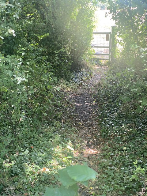
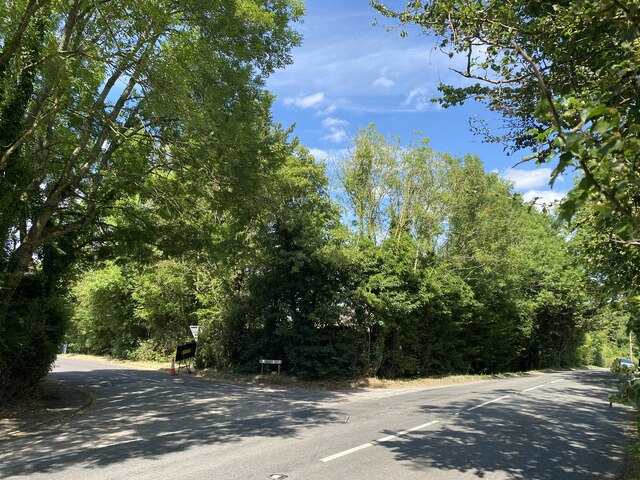
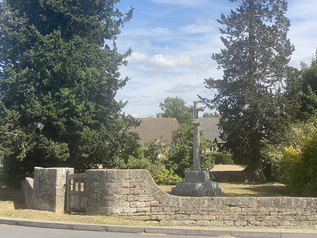
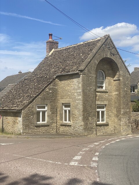
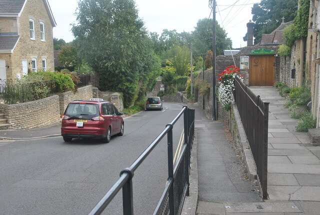
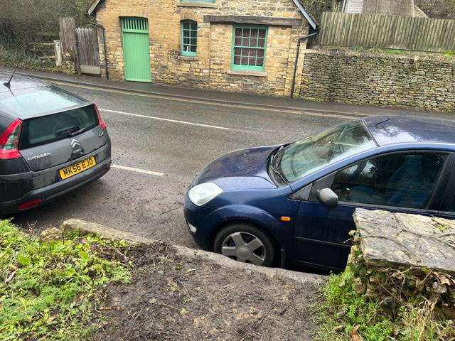
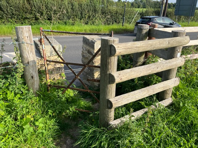
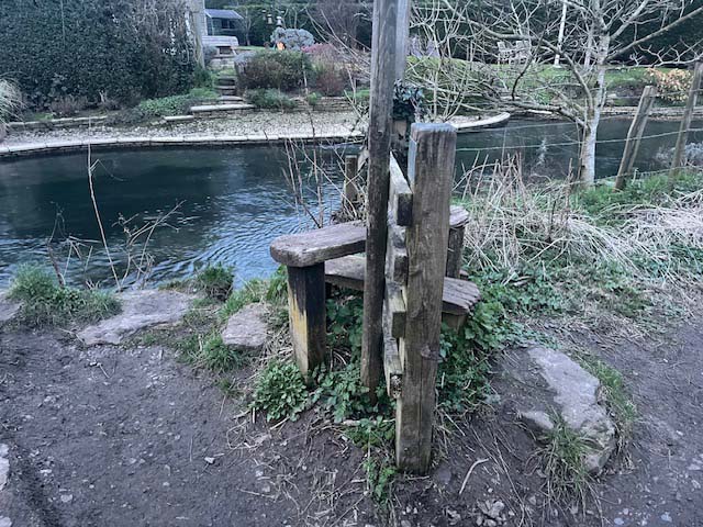
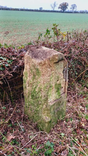
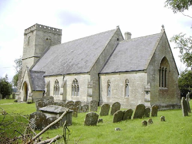
Long Wood Images

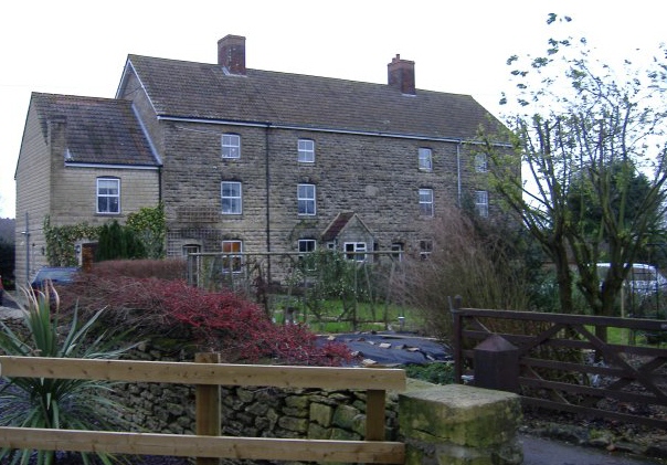
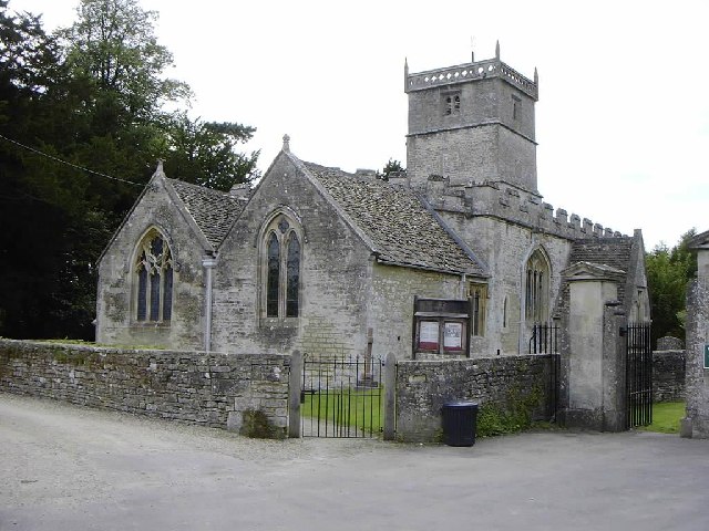
Images are sourced within 2km of 51.595126/-2.0725661 or Grid Reference ST9588. Thanks to Geograph Open Source API. All images are credited.

Footpath towards Charlton Heath
Vicarage Lane off Cricklade Road
Charlton War Memorial
Turnpike Cottage, Charlton
Entrance to Charlton Park Estate
Private Estate Charlton Park.
Private Estate
Charlton Park.
Indian Cuisine Restaurant, Malmesbury, Wiltshire 2022
Holloway Hill, Malmesbury, Wiltshire 2022
Stone Stile, Malmesbury Off the B4040 near the Spice Merchant looking East. The view West is <a href="https://www.geograph.org.uk/photo/7573025">ST9387 : Stone Stile, Malmesbury</a>.
Over time soil has infilled the other side of the stile.
Stone Stile, Malmesbury
Off the B4040 near the Spice Merchant looking East. The view West is ST9387 : Stone Stile, Malmesbury. Over time soil has infilled the other side of the stile.
Stone Stile, Malmesbury Off the B4040 near the Spice Merchant looking West. The view East is <a href="https://www.geograph.org.uk/photo/7573024">ST9387 : Stone Stile, Malmesbury</a>.
Over time soil has infilled the other side of the stile.
Stone Stile, Malmesbury
Off the B4040 near the Spice Merchant looking West. The view East is ST9387 : Stone Stile, Malmesbury. Over time soil has infilled the other side of the stile.
Stone Stile, Malmesbury On Wiltshire footpath MALM3 looking from the B4040. The view East is <a href="https://www.geograph.org.uk/photo/7596357">ST9387 : Stone Stile, Malmesbury</a>.
Stone Stile, Malmesbury
On Wiltshire footpath MALM3 looking from the B4040. The view East is ST9387 : Stone Stile, Malmesbury.
Stone Stile, Malmesbury On Wiltshire footpath MALM3 looking to the B4040. The view West is <a href="https://www.geograph.org.uk/photo/7596356">ST9387 : Stone Stile, Malmesbury</a>.
Stone Stile, Malmesbury
On Wiltshire footpath MALM3 looking to the B4040. The view West is ST9387 : Stone Stile, Malmesbury.
Stone Stile, Malmesbury A "Fallen Idle", the remains of a stone slab stile re-purposed as a step.
On Wiltshire footpath MALM 2 looking North across the Wiltshire Avon.
Stone Stile, Malmesbury
A "Fallen Idle", the remains of a stone slab stile re-purposed as a step. On Wiltshire footpath MALM 2 looking North across the Wiltshire Avon.
Old Milestone, Malmesbury A429 On the NW verge of Crudwell Road (A429), near the main entrance to Charlton Park Estate. 
Erected by the Malmesbury First District Turnpike Trust (19ᵗʰ Century)

Inscription (probably): Cirencester 9 / Malmesbury 2

Milestone Society National ID: WI_MYCI02
Old Milestone, Malmesbury A429
On the NW verge of Crudwell Road (A429), near the main entrance to Charlton Park Estate. Erected by the Malmesbury First District Turnpike Trust (19ᵗʰ Century) Inscription (probably): Cirencester 9 / Malmesbury 2 Milestone Society National ID: WI_MYCI02
Malmesbury Abbey on a damp spring morning
Charlton,  Malmesbury, Wiltshire The parish church of Charlton village is dedicated to St John the Baptist.
Charlton, Malmesbury, Wiltshire
The parish church of Charlton village is dedicated to St John the Baptist.
Garsdon, Wiltshire The church of All Saints.
Garsdon, Wiltshire
The church of All Saints.
Show me another place!

Long Wood is located at Grid Ref: ST9588 (Lat: 51.595126, Lng: -2.0725661)

Unitary Authority: Wiltshire

Police Authority: Wiltshire

What 3 Words

///simulates.game.intent. Near Charlton, Wiltshire

Related Wikis

WOMAD Charlton Park

WOMAD Charlton Park or WOMAD UK is the name given to the World of Music Arts and Dance (WOMAD) festival held in Charlton Park near Malmesbury, Wiltshire...

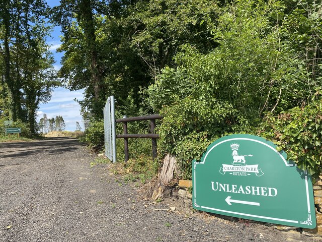
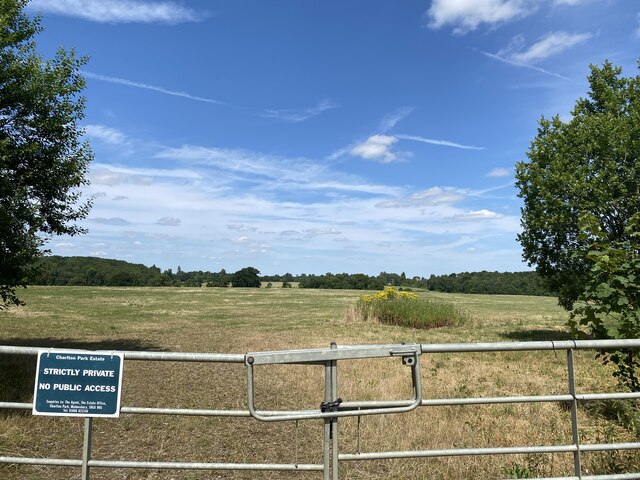
Charlton Park, Wiltshire

Charlton Park is a country house and estate in Wiltshire, England, 2 miles (3.2 km) northeast of the town of Malmesbury. Charlton Park House is a Grade...

Milbourne, Wiltshire

Milbourne is a hamlet on the eastern edge of Malmesbury, Wiltshire, England. It is within the civil parish of St Paul Malmesbury Without. The hamlet consists...

Charlton, Brinkworth

Charlton is a village and civil parish in North Wiltshire, England, about 2 miles (3 km) northeast of Malmesbury and 4 miles (6.4 km) northwest of the...

Nearby Amenities

Located within 500m of 51.595126,-2.0725661
The data included in this document is from www.openstreetmap.org. The data is made available under ODbL.

Have you been to Long Wood?

Leave your review of Long Wood below (or comments, questions and feedback).