Black Firs
Wood, Forest in Staffordshire South Staffordshire
England
Black Firs
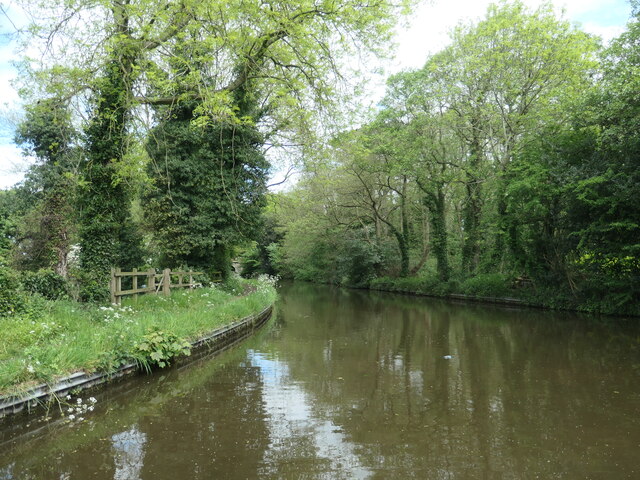
Black Firs is a woodland area located in Staffordshire, England. Situated near the town of Rugeley, it is a popular destination for nature enthusiasts and those seeking a tranquil escape. The woodland covers an extensive area, characterized by its dense canopy of mature trees, predominantly consisting of firs and other coniferous species.
The forest has a rich history dating back several centuries. It was originally part of the extensive Cannock Chase, a royal hunting ground during medieval times. Today, Black Firs retains much of its natural beauty and is managed by the Forestry Commission, ensuring the preservation of its unique ecosystem.
Walking trails and footpaths crisscross the woodland, providing visitors with the opportunity to explore the area's diverse flora and fauna. The forest floor is carpeted with a variety of wildflowers, ferns, and mosses, creating a picturesque scene during spring and summer. Wildlife is abundant in Black Firs, with sightings of deer, foxes, rabbits, and a wide array of bird species being common.
Black Firs offers a peaceful and serene environment for outdoor activities such as walking, jogging, and birdwatching. The forest also has designated picnic areas, allowing visitors to relax and enjoy the natural surroundings. Educational programs and guided tours are occasionally organized, providing visitors with insights into the woodland's ecology and history.
Overall, Black Firs in Staffordshire is a captivating woodland destination, offering a sanctuary for nature lovers and a place to reconnect with the natural world.
If you have any feedback on the listing, please let us know in the comments section below.
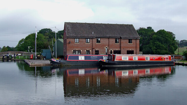
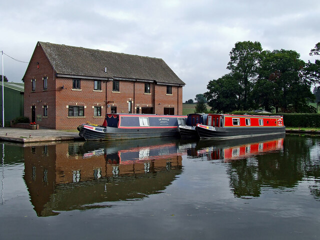
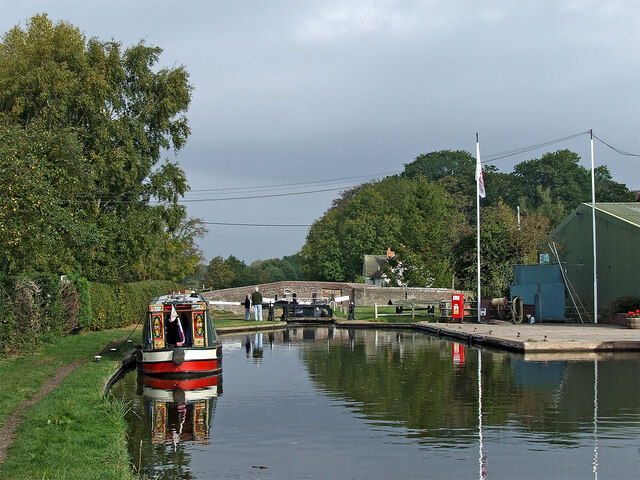
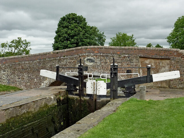
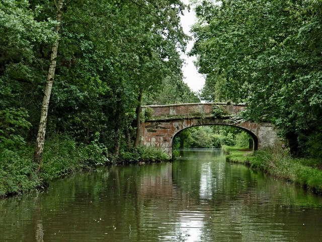
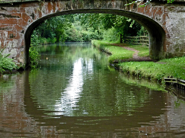
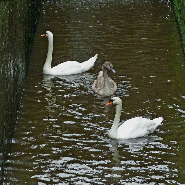
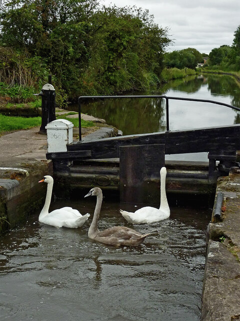
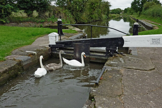
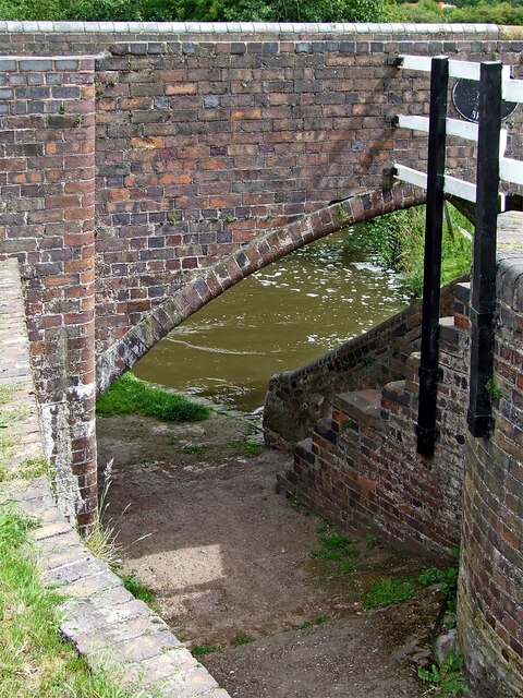
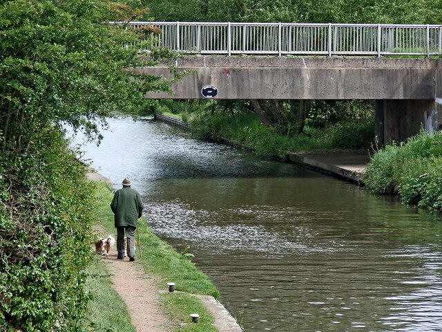
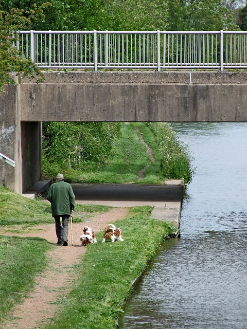
Black Firs Images
Images are sourced within 2km of 52.731247/-2.075896 or Grid Reference SJ9414. Thanks to Geograph Open Source API. All images are credited.


Black Firs is located at Grid Ref: SJ9414 (Lat: 52.731247, Lng: -2.075896)
Administrative County: Staffordshire
District: South Staffordshire
Police Authority: Staffordshire
What 3 Words
///gained.query.legroom. Near Penkridge, Staffordshire
Nearby Locations
Related Wikis

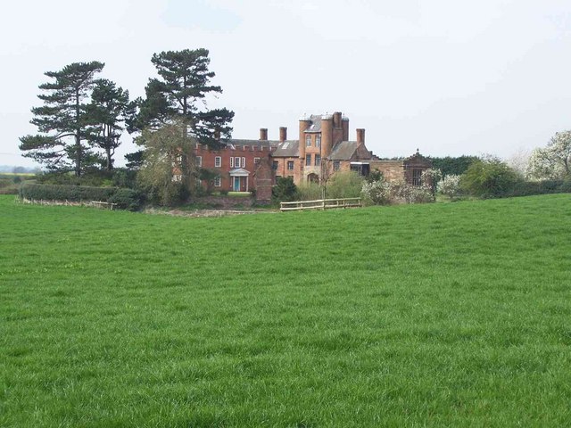
Teddesley Hall
Teddesley Hall was a large Georgian English country house located close to Penkridge in Staffordshire, now demolished. It was the main seat firstly of...
Pillaton, Staffordshire
Pillaton is a small village in Staffordshire, England, nearby to Penkridge and lying on the B5012 road between Cannock and Penkridge. It falls under the...
Wolgarston High School
Wolgarston High School is a coeducational upper school and sixth form located in Penkridge, Staffordshire, England. Wolgarston High School is an age 13...
Pillaton Hall
Pillaton Hall was an historic house located in Pillaton, Staffordshire, near Penkridge, England. For more than two centuries it was the seat of the Littleton...

Bednall
Bednall is a village in Staffordshire, England. == Location == Bednall lies somewhat remote from main roads, in dairy-farming countryside some 2.5 miles...

History of Penkridge
Penkridge is a village and parish in Staffordshire with a history stretching back to the Anglo-Saxon period. A religious as well as a commercial centre...
Penkridge
Penkridge ( PENG-krij) is a large village and civil parish in South Staffordshire District in Staffordshire, England. It is to the south of Stafford, north...
Huntington, Staffordshire
Huntington is a civil parish and former mining village in Staffordshire, on the outskirts of Cannock Chase. It lies on the A34 road just north of Cannock...
Nearby Amenities
Located within 500m of 52.731247,-2.075896Have you been to Black Firs?
Leave your review of Black Firs below (or comments, questions and feedback).