Rookery Coppice
Wood, Forest in Dorset
England
Rookery Coppice

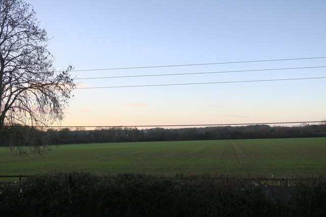
Rookery Coppice, located in the county of Dorset, is a picturesque wood or forest that spans across a vast area of land. Known for its natural beauty and serene environment, it attracts nature enthusiasts, hikers, and wildlife lovers throughout the year.
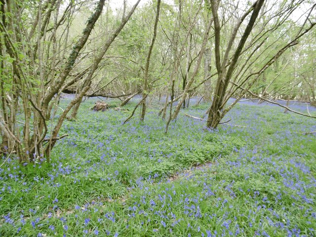
The coppice is characterized by its dense vegetation, consisting mainly of various species of trees such as oak, beech, and birch. The forest floor is covered in a thick layer of moss, ferns, and wildflowers, providing a stunning display of colors and textures. The diverse range of flora creates a habitat that supports a rich ecosystem of insects, birds, and small mammals.
Tranquil walking trails wind their way through the coppice, offering visitors the opportunity to explore its natural wonders and observe the local wildlife. The dense canopy of trees provides shade, making it a perfect destination for a leisurely stroll during hot summer days.
Rookery Coppice also holds historical significance, as it is believed to have been used for timber production during medieval times. The remnants of old forestry practices, such as ancient boundary markers and the occasional decaying log, add to the charm and historical appeal of the area.
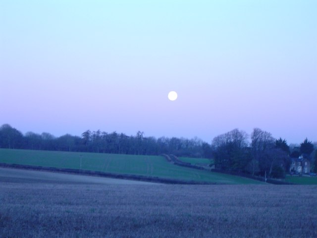
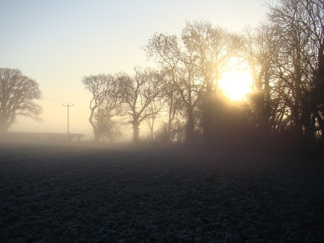
In addition to its natural beauty, Rookery Coppice offers visitors a sense of tranquility and escape from the hustle and bustle of daily life. The peaceful ambiance and breathtaking scenery make it a popular destination for nature lovers seeking solace and a connection with the outdoors.
If you have any feedback on the listing, please let us know in the comments section below.
Rookery Coppice Images
Images are sourced within 2km of 50.947547/-2.0816135 or Grid Reference ST9416. Thanks to Geograph Open Source API. All images are credited.


Rookery Coppice is located at Grid Ref: ST9416 (Lat: 50.947547, Lng: -2.0816135)
Unitary Authority: Dorset
Police Authority: Dorset
What 3 Words
///towel.treat.exists. Near Pimperne, Dorset
Nearby Locations
Related Wikis

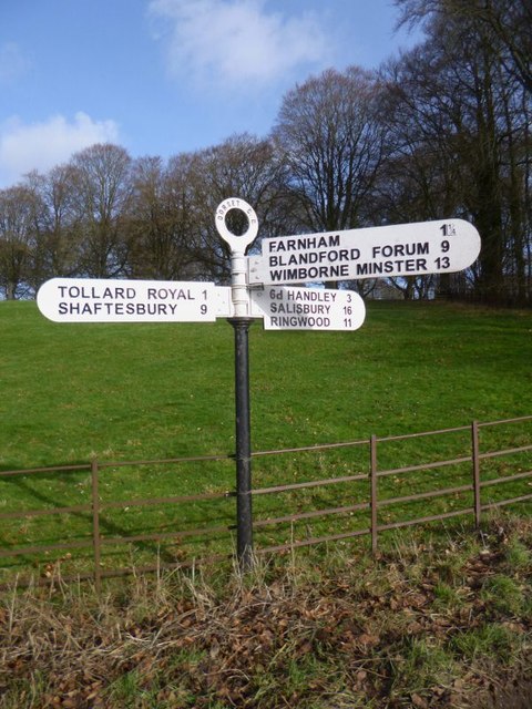
Larmer Tree Festival
Larmer Tree Festival was a three-day music, comedy and arts festival held annually from 1990 until 2019 at the Larmer Tree Gardens, near Tollard Royal...

Larmer Tree Gardens
The Larmer Tree Gardens near Tollard Royal in south Wiltshire, England, were created by landowner Augustus Pitt Rivers in 1880 as pleasure grounds for...

King John's House, Tollard Royal
King John's House is a former manor house in the south Wiltshire village of Tollard Royal, England. Just south of the church, the building has at its core...

Tollard Royal
Tollard Royal is a village and civil parish on Cranborne Chase, Wiltshire, England. The parish is on Wiltshire's southern boundary with Dorset and the...

South Lodge Camp
South Lodge Camp is an archaeological site of the Bronze Age, about 0.6 miles (1.0 km) south-east of the village of Tollard Royal, in Wiltshire, England...

Farnham, Dorset
Farnham is a village and civil parish in North Dorset, in the south of England, on Cranborne Chase, seven miles (eleven kilometres) northeast of Blandford...

Sandroyd School
Sandroyd School is an independent co-educational preparatory school for day and boarding pupils aged 2 to 13 in the south of Wiltshire, England. The school...

Woodcutts Settlement
Woodcutts Settlement is an archaeological site of the late Iron Age and Romano-British period on Cranborne Chase, England. It is situated about 1 mile...
Nearby Amenities
Located within 500m of 50.947547,-2.0816135Have you been to Rookery Coppice?
Leave your review of Rookery Coppice below (or comments, questions and feedback).