Honey Pots

Wood, Forest in Staffordshire South Staffordshire

England

Honey Pots

Farmland and motorway near Acton Trussell, Staffordshire Looking west-south-west from the Staffordshire and Worcestershire Canal. Cockpit Plantation is on the left. The M6 motorway crosses the view, and just below it, the River Penk (hidden) meanders, flowing from left to right.
Farmland and motorway near Acton Trussell, Staffordshire Credit: Roger D Kidd

Honey Pots is a charming woodland area located in Staffordshire, England. Nestled within the county's picturesque landscape, this forested region offers visitors a tranquil and immersive experience in nature. With a rich history and diverse wildlife, Honey Pots has become a popular destination for those seeking outdoor adventures and a break from the hustle and bustle of everyday life.

Covering an area of approximately 500 acres, Honey Pots is primarily comprised of dense deciduous woodland, oak trees being the dominant species. This creates a stunning canopy and provides a habitat for a variety of flora and fauna. The forest floor is adorned with an array of wildflowers, ferns, and mosses, creating a vibrant and colorful setting.

The woodland is crisscrossed with well-maintained walking trails and paths, making it an ideal location for hikers and nature enthusiasts. These trails lead visitors through ancient woodlands, babbling brooks, and peaceful meadows, offering breathtaking views and a chance to observe the local wildlife. Honey Pots is home to a diverse range of species, including deer, foxes, badgers, and a plethora of bird species, providing ample opportunities for wildlife spotting and birdwatching.

In addition to its natural beauty, Honey Pots boasts a rich history. The area has archaeological significance, with remnants of ancient settlements and burial grounds dating back to the Neolithic period. The forest has also been a source of inspiration for various artists and writers throughout the years.

Overall, Honey Pots, Staffordshire is a haven for nature lovers, offering a delightful blend of scenic beauty, biodiversity, and historical significance. Whether exploring the trails, observing wildlife, or simply enjoying the peaceful ambiance, visitors are sure to find solace and serenity in this enchanting woodland retreat.

If you have any feedback on the listing, please let us know in the comments section below.
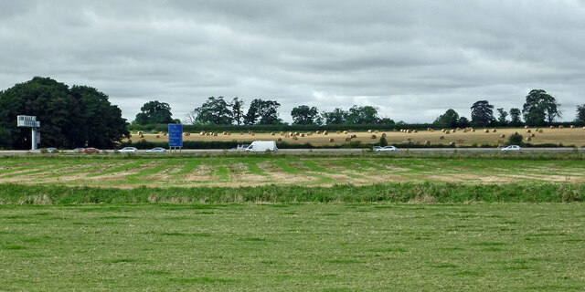
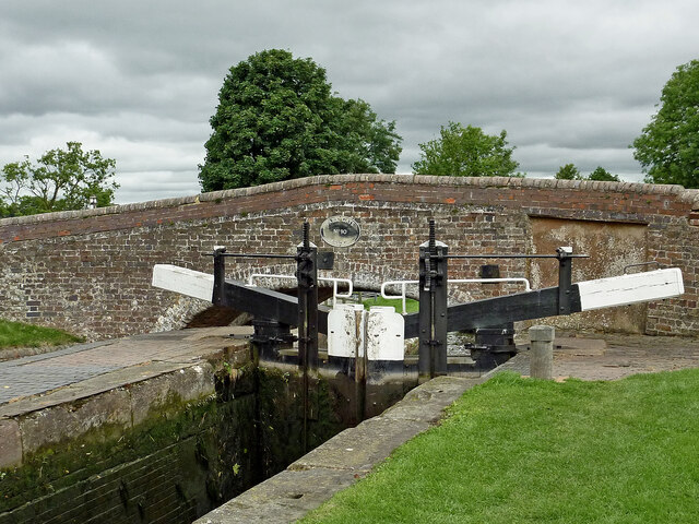
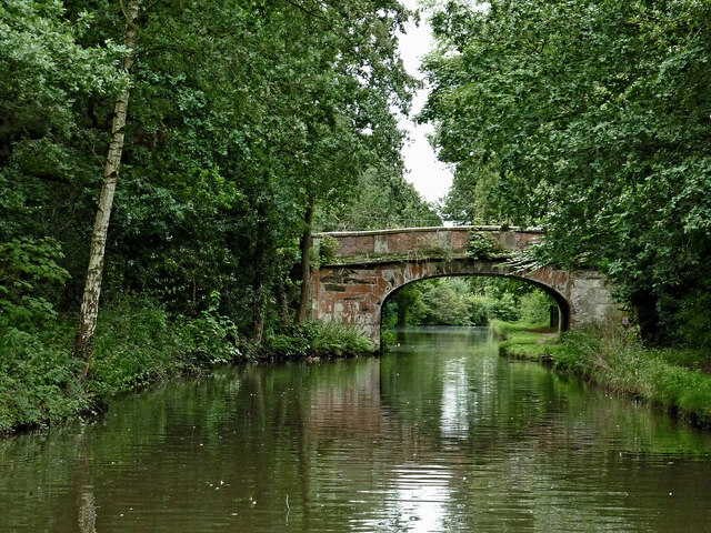
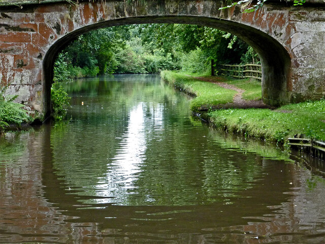
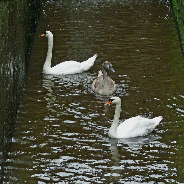
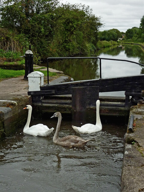
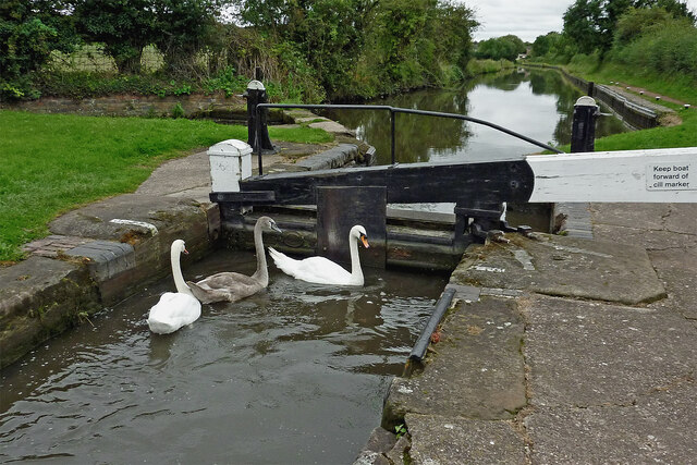
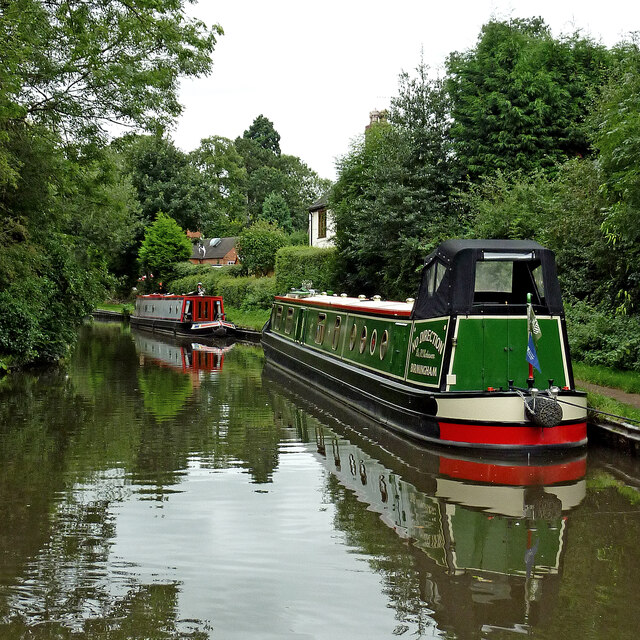
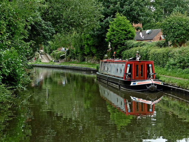
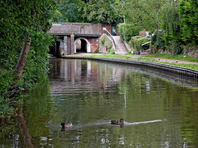
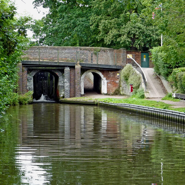
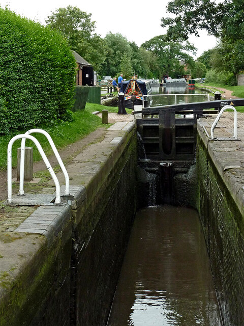
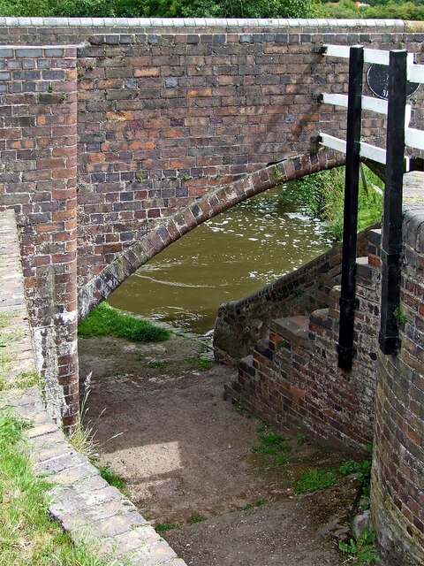
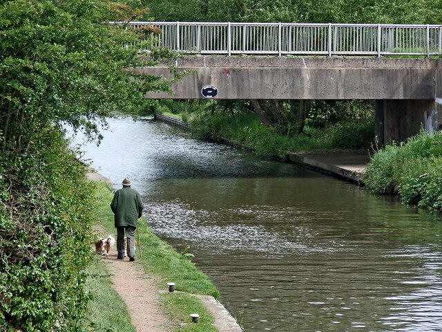
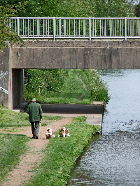
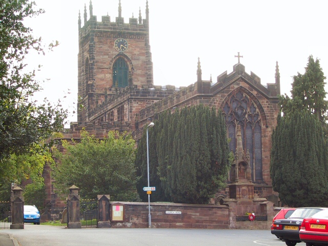
Honey Pots Images

Images are sourced within 2km of 52.740512/-2.1129711 or Grid Reference SJ9215. Thanks to Geograph Open Source API. All images are credited.

Farmland and motorway near Acton Trussell, Staffordshire Looking west-south-west from the Staffordshire and Worcestershire Canal. Cockpit Plantation is on the left. The M6 motorway crosses the view, and just below it, the River Penk (hidden) meanders, flowing from left to right.
Farmland and motorway near Acton Trussell, Staffordshire
Looking west-south-west from the Staffordshire and Worcestershire Canal. Cockpit Plantation is on the left. The M6 motorway crosses the view, and just below it, the River Penk (hidden) meanders, flowing from left to right.
Park Gate Lock and Bridge near Penkridge, Staffordshire Park Gate Bridge is No 90 across the Staffordshire and Worcestershire Canal, and now allows access to the Midland Chandlers warehouse, Park Gate Lockhouse and the (now former) Teddesley Boat Compaany wharf.

Note the two gate paddle ratchets (between the bridge plate) are both up so the lock is being drained to allow a south bound boat to enter.
Park Gate Lock and Bridge near Penkridge, Staffordshire
Park Gate Bridge is No 90 across the Staffordshire and Worcestershire Canal, and now allows access to the Midland Chandlers warehouse, Park Gate Lockhouse and the (now former) Teddesley Boat Compaany wharf. Note the two gate paddle ratchets (between the bridge plate) are both up so the lock is being drained to allow a south bound boat to enter.
Canal cruising near Penkridge in Staffordshire This is the Staffordshire and Worcestershire Canal meandering southwards towards Penkridge and Wolverhampton. The narrowboat is called "Beeston Castle".
Canal cruising near Penkridge in Staffordshire
This is the Staffordshire and Worcestershire Canal meandering southwards towards Penkridge and Wolverhampton. The narrowboat is called "Beeston Castle".
Teddesley Park Bridge near Penkridge in Staffordshire Looking south-south-east towards Penkridge and Wolverhampton.
Teddesley Park Bridge is No 89 across the Staffordshire and Worcestershire Canal. The accommodation bridge carries a farm track and public footpath.
Teddesley Park Bridge near Penkridge in Staffordshire
Looking south-south-east towards Penkridge and Wolverhampton. Teddesley Park Bridge is No 89 across the Staffordshire and Worcestershire Canal. The accommodation bridge carries a farm track and public footpath.
Swans in Longford Lock near Penkridge, Staffordshire These three wanted a free lift up to the next water level.

<a href="https://www.geograph.org.uk/photo/7049547">SJ9314 : Swans using Longford Lock near Penkridge, Staffordshire</a>
Swans in Longford Lock near Penkridge, Staffordshire
These three wanted a free lift up to the next water level. SJ9314 : Swans using Longford Lock near Penkridge, Staffordshire
Mixed usage of Longord Lock near Penkridge The three swans swam into the lock chamber in front of the narrowboat. Despite the turbulence of the water entering the lock through the gate paddles, they showed little sign of distress or concern.

Longford Lock is No 39 on the Staffordshire and Worcestershire Canal, providing a rise (or fall) of ten feet (three metres).


<a href="https://www.geograph.org.uk/photo/7049572">SJ9314 : Longford Lock with swans, north of Penkridge</a>
Mixed usage of Longord Lock near Penkridge
The three swans swam into the lock chamber in front of the narrowboat. Despite the turbulence of the water entering the lock through the gate paddles, they showed little sign of distress or concern. Longford Lock is No 39 on the Staffordshire and Worcestershire Canal, providing a rise (or fall) of ten feet (three metres). SJ9314 : Longford Lock with swans, north of Penkridge
Swans using Longford Lock near Penkridge, Staffordshire Looking south towards Penkridge and Wolverhampton.
The three swans swam into the lock chamber in front of a narrowboat. Despite the turbulence of the water entering the lock through the gate paddles, they showed little sign of distress or concern, and waited patiently for me to open the gate.

Longford Lock is No 39 on the Staffordshire and Worcestershire Canal, providing a rise (or fall) of ten feet (three metres).
Swans using Longford Lock near Penkridge, Staffordshire
Looking south towards Penkridge and Wolverhampton. The three swans swam into the lock chamber in front of a narrowboat. Despite the turbulence of the water entering the lock through the gate paddles, they showed little sign of distress or concern, and waited patiently for me to open the gate. Longford Lock is No 39 on the Staffordshire and Worcestershire Canal, providing a rise (or fall) of ten feet (three metres).
Longford Lock with swans, north of Penkridge Looking south towards Penkridge and Wolverhampton.
The three swans swam into the lock chamber in front of a narrowboat. Despite the initial turbulence of the water entering the lock through the gate paddles, they showed little sign of distress or concern, and are waiting patiently for me to open the gate.

<a href="https://www.geograph.org.uk/photo/7049535">SJ9314 : Mixed usage of Longord Lock near Penkridge</a>

Longford Lock is No 39 on the Staffordshire and Worcestershire Canal, providing a rise (or fall) of ten feet (three metres).
Longford Lock with swans, north of Penkridge
Looking south towards Penkridge and Wolverhampton. The three swans swam into the lock chamber in front of a narrowboat. Despite the initial turbulence of the water entering the lock through the gate paddles, they showed little sign of distress or concern, and are waiting patiently for me to open the gate. SJ9314 : Mixed usage of Longord Lock near Penkridge Longford Lock is No 39 on the Staffordshire and Worcestershire Canal, providing a rise (or fall) of ten feet (three metres).
Housing by the canal near Penkridge in Staffordshire This is the Staffordshire and Worcestershire Canal, looking south-west towards Penkridge Lock. The mobile homes are in Little Marsh Grove.
Housing by the canal near Penkridge in Staffordshire
This is the Staffordshire and Worcestershire Canal, looking south-west towards Penkridge Lock. The mobile homes are in Little Marsh Grove.
Moored narrowboats near Penkridge in Staffordshire This is the Staffordshire and Worcestershire Canal, looking south-west towards Penkridge Lock (just past the bend). There are plenty of visitor moorings here north of Penkridge Lock.
Moored narrowboats near Penkridge in Staffordshire
This is the Staffordshire and Worcestershire Canal, looking south-west towards Penkridge Lock (just past the bend). There are plenty of visitor moorings here north of Penkridge Lock.
Staffordshire and Worcestershire Canal at Penkridge in Staffordshire This is the Staffordshire and Worcestershire Canal, looking south-west towards Penkridge Lock (just past the bend). There are plenty of visitor moorings here north of Penkridge Bridge and Lock.
Staffordshire and Worcestershire Canal at Penkridge in Staffordshire
This is the Staffordshire and Worcestershire Canal, looking south-west towards Penkridge Lock (just past the bend). There are plenty of visitor moorings here north of Penkridge Bridge and Lock.
Canal by Penkridge Bridge, Staffordshire This is the Staffordshire and Worcestershire Canal at Penkridge Bridge (No 86) and Lock (No 38 (just visible). There are plenty of visitor moorings behind the camera. The popular Boat Inn is off to the right.
Canal by Penkridge Bridge, Staffordshire
This is the Staffordshire and Worcestershire Canal at Penkridge Bridge (No 86) and Lock (No 38 (just visible). There are plenty of visitor moorings behind the camera. The popular Boat Inn is off to the right.
Penkridge Bridge and Lock in Staffordshire This is the Staffordshire and Worcestershire Canal at Penkridge Bridge (No 86) and Lock (No 38). There are plenty of visitor moorings behind the camera. The bridge carries Cannock Road. The lock provides a rise of 9ft 3in (2·8 metres), and its tail gates are leaking badly. The popular Boat Inn is off to the right.
Penkridge Bridge and Lock in Staffordshire
This is the Staffordshire and Worcestershire Canal at Penkridge Bridge (No 86) and Lock (No 38). There are plenty of visitor moorings behind the camera. The bridge carries Cannock Road. The lock provides a rise of 9ft 3in (2·8 metres), and its tail gates are leaking badly. The popular Boat Inn is off to the right.
Penkridge Lock in Staffordshire Looking south towards Wolverhampton and Stourport.
Penkridge Lock is No 38 on the Staffordshire and Worcestershire Canal. The lock provides a rise of 9ft 3in (2·8 metres), and has been drained in this image in anticipation of a narrowboat approaching from behind the camera. Contrasting with the bottom gates, the top gate is leaking minimally.
Penkridge Lock in Staffordshire
Looking south towards Wolverhampton and Stourport. Penkridge Lock is No 38 on the Staffordshire and Worcestershire Canal. The lock provides a rise of 9ft 3in (2·8 metres), and has been drained in this image in anticipation of a narrowboat approaching from behind the camera. Contrasting with the bottom gates, the top gate is leaking minimally.
Bridge and towpath at Longford Lock near Penkridge Longford Lock No 39 and Broom Bridge No 87 are on the Staffordshire and Worcestershire Canal north-east of Penkridge in Staffordshire.
Bridge and towpath at Longford Lock near Penkridge
Longford Lock No 39 and Broom Bridge No 87 are on the Staffordshire and Worcestershire Canal north-east of Penkridge in Staffordshire.
Canal north-east of Penkridge in Staffordshire This is the Staffordshire and Worcestershire Canal, looking north-north-east at Longford Lock, towards Woodbank Lane Bridge, No 87A.
Canal north-east of Penkridge in Staffordshire
This is the Staffordshire and Worcestershire Canal, looking north-north-east at Longford Lock, towards Woodbank Lane Bridge, No 87A.
Walking the dogs near Penkridge, Staffordshire This is the Staffordshire and Worcestershire Canal, looking north-north-east at Longford Lock, towards Woodbank Lane Bridge, No 87A.
Walking the dogs near Penkridge, Staffordshire
This is the Staffordshire and Worcestershire Canal, looking north-north-east at Longford Lock, towards Woodbank Lane Bridge, No 87A.
Show me another place!

Honey Pots is located at Grid Ref: SJ9215 (Lat: 52.740512, Lng: -2.1129711)

Administrative County: Staffordshire

District: South Staffordshire

Police Authority: Staffordshire

What 3 Words

///laughs.zooms.reason. Near Penkridge, Staffordshire

Nearby Locations

Honey Pots

Related Wikis

Penkridge Viaduct

Penkridge Viaduct is a railway viaduct on the West Coast Main Line where it crosses the River Penk and Levedale Road near the village of Penkridge, Staffordshire...

Penkridge

Penkridge ( PENG-krij) is a large village and civil parish in South Staffordshire District in Staffordshire, England. It is to the south of Stafford, north...

Penkridge railway station

Penkridge railway station is a railway station serving the large village of Penkridge in Staffordshire, England. It is situated on the Birmingham loop...

History of Penkridge

Penkridge is a village and parish in Staffordshire with a history stretching back to the Anglo-Saxon period. A religious as well as a commercial centre...

Nearby Amenities

Located within 500m of 52.740512,-2.1129711
Bus Stop
Lower Drayton Lane
Naptan AtcoCode: 3800C638301
Naptan Bearing: N
Naptan BusStopType: CUS
Naptan CommonName: Lower Drayton Lane
Naptan Indicator: Opp
Naptan Landmark: Lower Drayton Lane
Naptan Street: Stafford Rd
Naptan Verified: no
Public Transport: platform
Source: naptan_import
Lat/Long: 52.7385736/-2.1100939
Bus Stop
Lower Drayton Lane
Naptan AtcoCode: 3800C638302
Naptan Bearing: S
Naptan CommonName: Lower Drayton Lane
Naptan Indicator: Adj
Naptan Landmark: Lower Drayton Lane
Naptan Street: Stafford Rd
Naptan Verified: no
Public Transport: platform
Source: naptan_import
Lat/Long: 52.738421/-2.1098565
Bus Stop
Stone Cottages
Naptan AtcoCode: 3800C638401
Naptan Bearing: S
Naptan BusStopType: CUS
Naptan CommonName: Stone Cottages
Naptan Indicator: Adj
Naptan Landmark: Stone Cottages
Naptan Street: Stafford Rd
Naptan Verified: no
Public Transport: platform
Source: naptan_import
Lat/Long: 52.7424049/-2.1083704
Bus Stop
Stone Cottages
Naptan AtcoCode: 3800C638402
Naptan Bearing: N
Naptan CommonName: Stone Cottages
Naptan Indicator: Opp
Naptan Landmark: Stone Cottages
Naptan Street: Stafford Rd
Naptan Verified: no
Public Transport: platform
Source: naptan_import
Lat/Long: 52.7426834/-2.1084896
Parking
Description: Layby
Lat/Long: 52.7404328/-2.1094033
Power: pole
Lat/Long: 52.741652/-2.105942
Power: pole
Lat/Long: 52.7405539/-2.1057865
Power: pole
Lat/Long: 52.7396065/-2.1057101
The data included in this document is from www.openstreetmap.org. The data is made available under ODbL.

Have you been to Honey Pots?

Leave your review of Honey Pots below (or comments, questions and feedback).