Henridding Wood
Wood, Forest in Staffordshire Staffordshire Moorlands
England
Henridding Wood
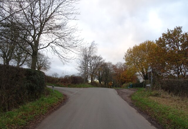
Henridding Wood is a picturesque forest located in Staffordshire, England. Covering an area of approximately 100 acres, this wood is a haven for nature enthusiasts and anyone seeking tranquility amidst the beauty of the countryside.
The wood is primarily composed of broadleaf trees such as oak, beech, and ash, creating a vibrant and diverse ecosystem. The lush undergrowth, consisting of ferns, bluebells, and wildflowers, adds to the enchanting atmosphere of the forest. Henridding Wood is home to a variety of wildlife, including deer, foxes, and a myriad of bird species, making it a popular destination for birdwatchers and animal lovers.
Tranquil pathways wind their way through the wood, inviting visitors to explore its hidden corners. The well-maintained trails are perfect for leisurely walks and provide opportunities for visitors to immerse themselves in the natural surroundings. As visitors meander through the wood, they may stumble upon a small pond or stream, enhancing the sense of serenity and offering a chance to observe aquatic life.
Henridding Wood is open to the public throughout the year, and visitors are encouraged to respect the natural environment by adhering to the principles of Leave No Trace. The wood offers a peaceful retreat from the hustle and bustle of daily life, allowing visitors to connect with nature and experience the therapeutic benefits of spending time in the great outdoors.
Overall, Henridding Wood in Staffordshire is a captivating forest that promises breathtaking scenery, an abundance of flora and fauna, and a tranquil atmosphere for all who venture within its boundaries.
If you have any feedback on the listing, please let us know in the comments section below.
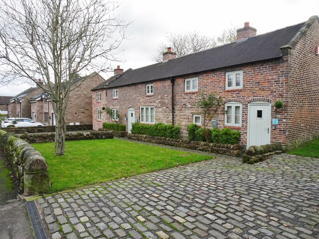
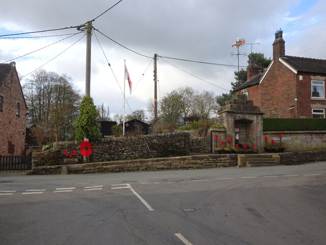
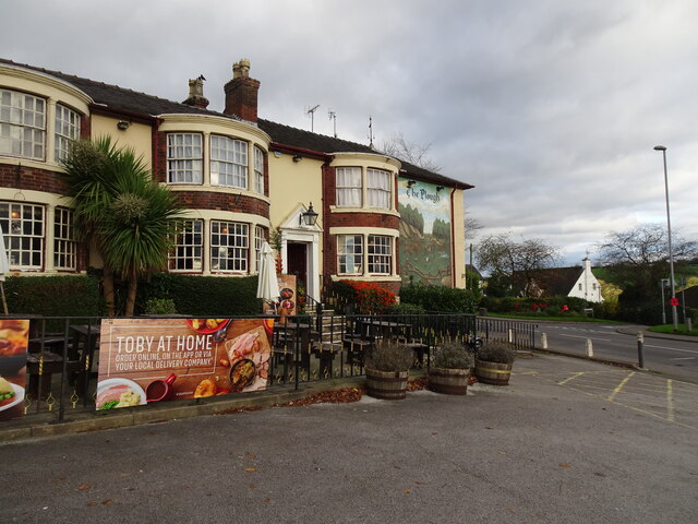
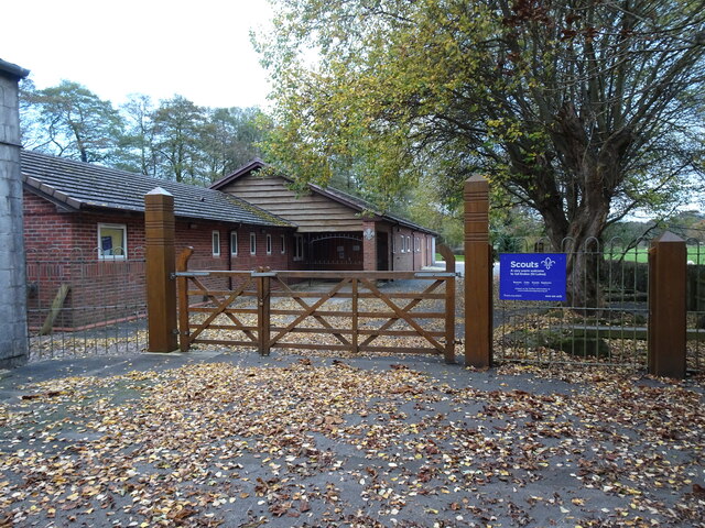
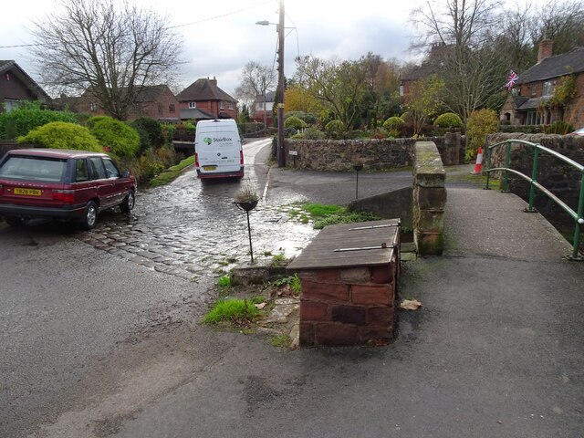
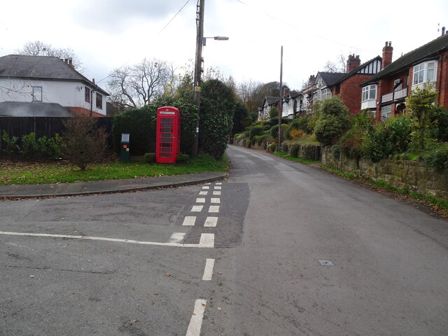
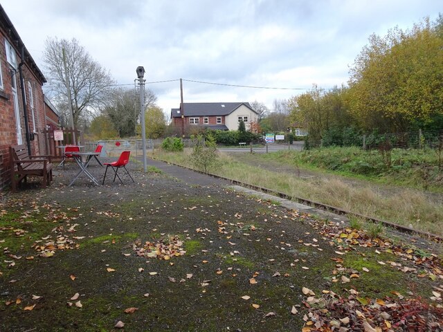
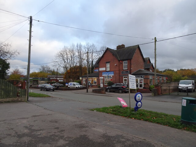
Henridding Wood Images
Images are sourced within 2km of 53.085018/-2.1305646 or Grid Reference SJ9154. Thanks to Geograph Open Source API. All images are credited.
Henridding Wood is located at Grid Ref: SJ9154 (Lat: 53.085018, Lng: -2.1305646)
Administrative County: Staffordshire
District: Staffordshire Moorlands
Police Authority: Staffordshire
What 3 Words
///nutrients.mailboxes.restores. Near Biddulph, Staffordshire
Nearby Locations
Related Wikis
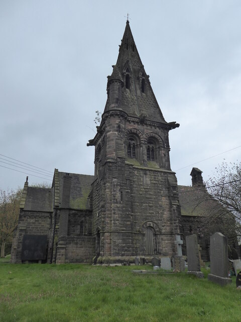
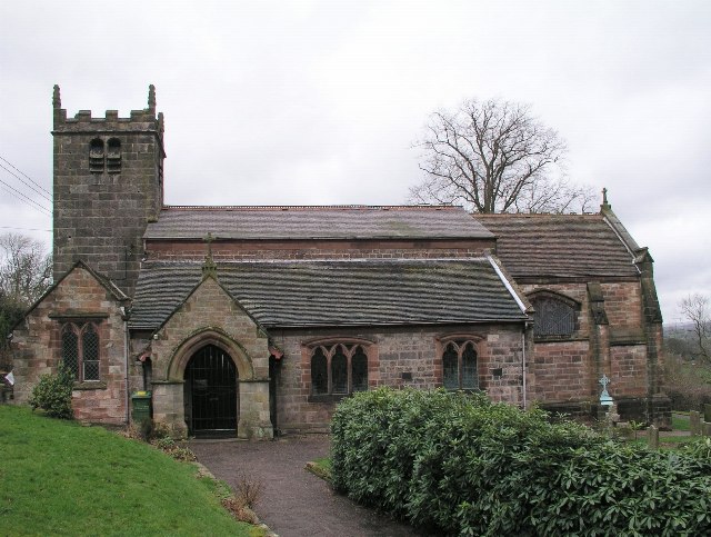
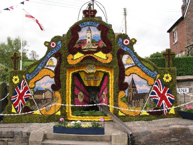
St Anne's Church, Brown Edge
St Anne's Church is an Anglican church in Brown Edge, Staffordshire, England, and in the Diocese of Lichfield. The building is Grade II listed. == History... ==

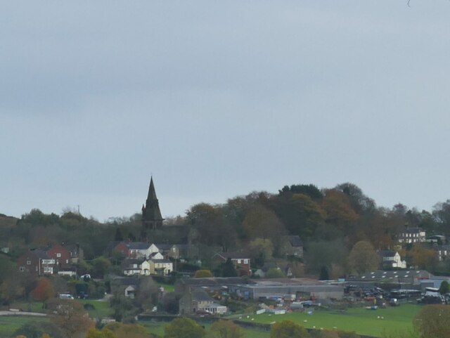
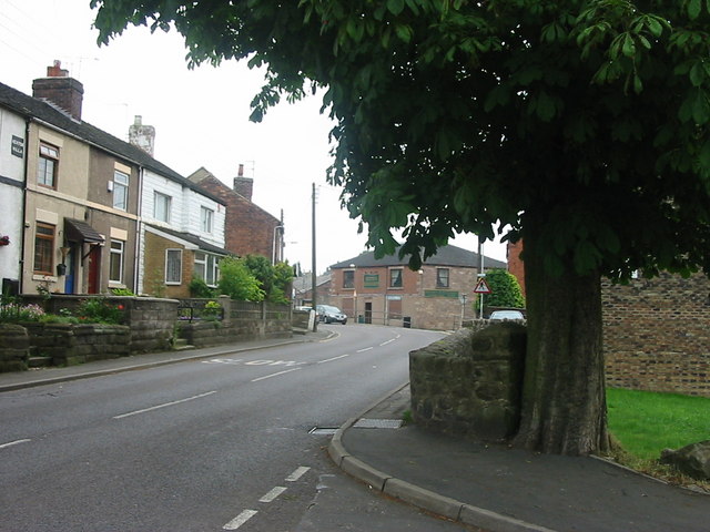
Brown Edge
Brown Edge is a village and civil parish in the Staffordshire Moorlands district of Staffordshire, England. According to the 2001 census it had a population...

Endon
Endon is a village within the Staffordshire Moorlands district of Staffordshire, England. It is 4 miles (6.4 km) southwest of Leek and 6 miles (9.7 km...
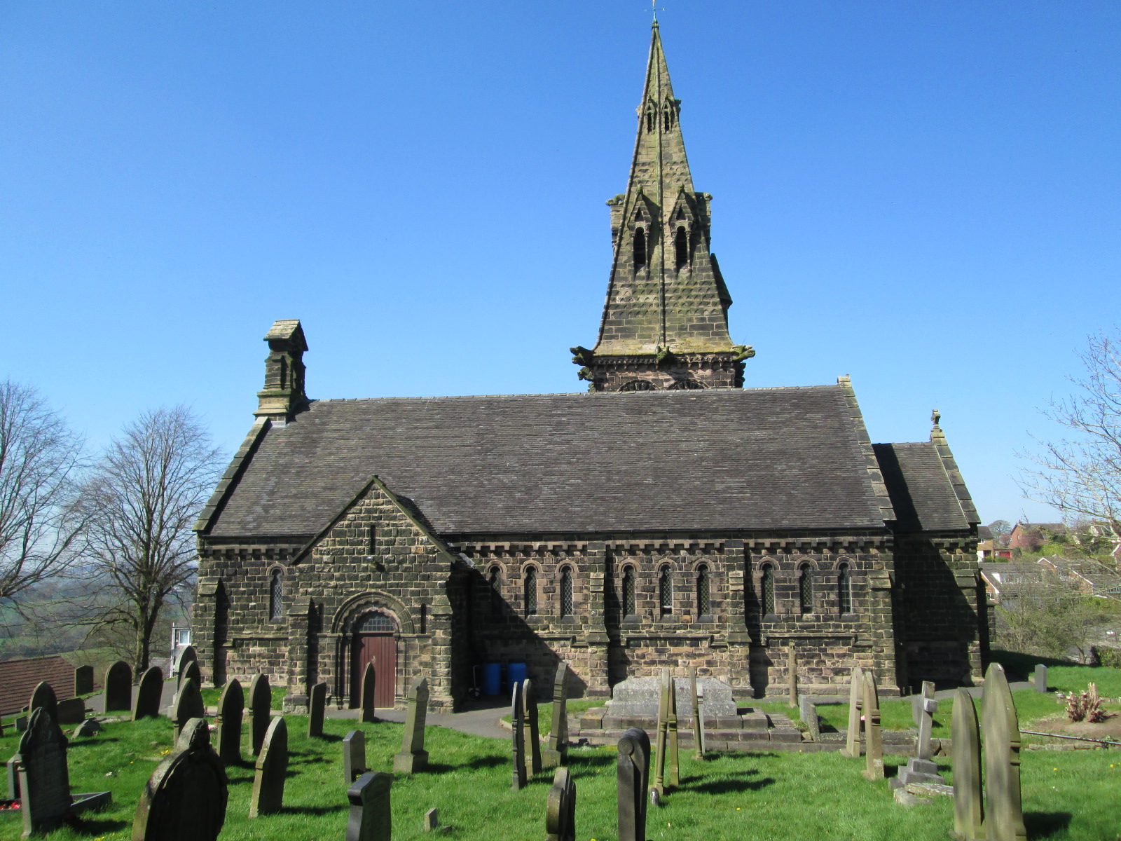
St Luke's Church, Endon
St Luke's Church is an Anglican church in Endon, Staffordshire, England, and in the Diocese of Lichfield. The building, dating originally from about 1720...

Endon High School
Endon High School is a coeducational secondary school located in Endon in the English county of Staffordshire.Endon Hall Primary School and St Lukes CE...

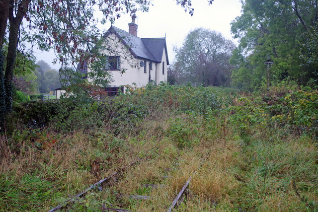
Endon railway station
Endon railway station is a disused railway station in Staffordshire. The Stoke–Leek line was opened by the North Staffordshire Railway (NSR) in 1867 and...

The Ashes, Endon
The Ashes near Endon in Staffordshire is a building of historical significance and is Grade II* listed on the English Heritage Register. It was built in...

Endon and Stanley
Endon and Stanley is a civil parish in Staffordshire, England, containing the villages Endon and Stanley. The civil parish (replacing a civil parish containing...
Nearby Amenities
Located within 500m of 53.085018,-2.1305646Have you been to Henridding Wood?
Leave your review of Henridding Wood below (or comments, questions and feedback).