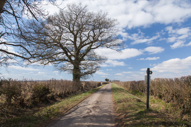
Chapscroft Wood
Wood, Forest in Wiltshire
England
Chapscroft Wood
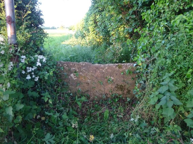
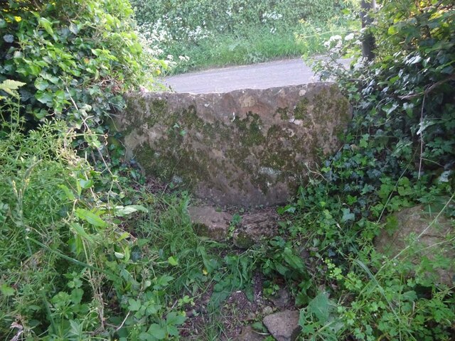
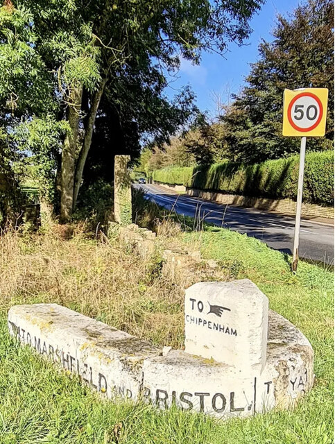
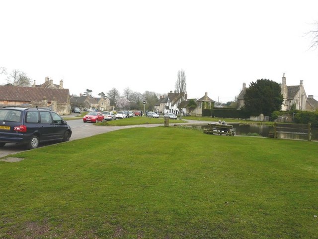
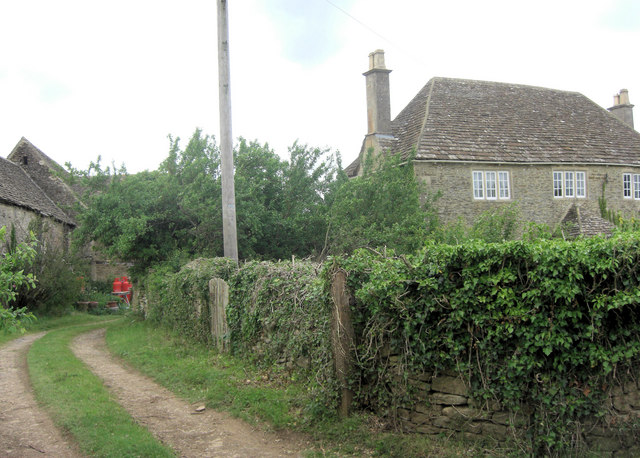
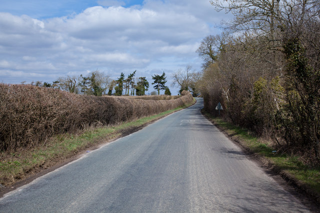
Chapscroft Wood is a picturesque woodland located in the county of Wiltshire, England. Situated near the village of Chapmanslade, the wood covers an area of approximately 50 acres and is surrounded by rolling countryside. It is a popular destination for nature enthusiasts and offers a tranquil escape from the hustle and bustle of nearby towns and cities.
The wood is predominantly composed of native broadleaf trees, including oak, ash, beech, and hazel. These trees create a dense canopy, which provides shelter for a wide variety of wildlife, including birds, mammals, and insects. Visitors to Chapscroft Wood can often spot woodpeckers, deer, and foxes, among other species.
There are several footpaths that wind their way through the wood, allowing visitors to explore the area and enjoy its natural beauty. These paths are well-maintained and suitable for all levels of walkers, making the wood accessible to people of all ages and abilities.
Chapscroft Wood is also known for its wildflowers, which bloom in abundance during the spring and summer months. Bluebells, primroses, and wild garlic create a colorful carpet of flora, adding to the charm of the woodland.
The wood is managed by a local conservation group, which works to preserve its ecological value and enhance its biodiversity. This includes the removal of invasive species and the planting of new trees to ensure the future sustainability of the woodland.
Overall, Chapscroft Wood offers a peaceful and scenic retreat for those seeking a connection with nature in the heart of Wiltshire.
If you have any feedback on the listing, please let us know in the comments section below.
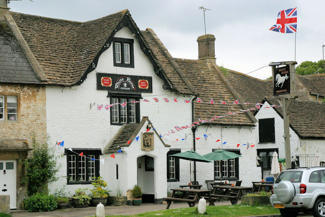
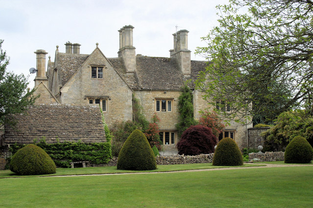
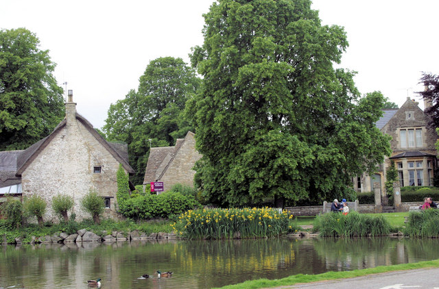
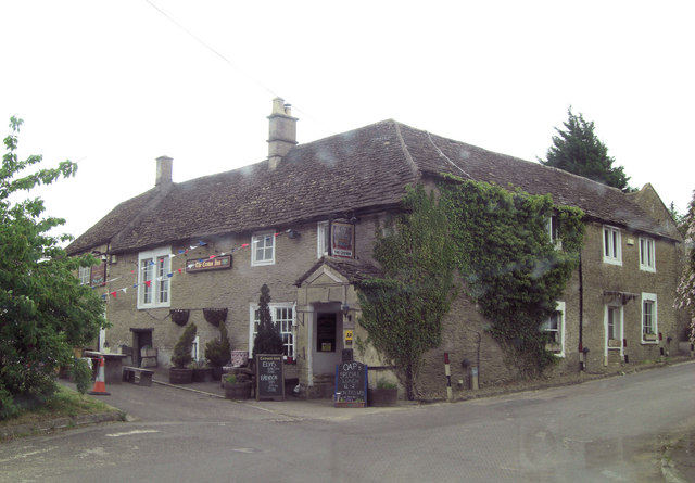
Chapscroft Wood Images
Images are sourced within 2km of 51.463785/-2.1831389 or Grid Reference ST8773. Thanks to Geograph Open Source API. All images are credited.
Chapscroft Wood is located at Grid Ref: ST8773 (Lat: 51.463785, Lng: -2.1831389)
Unitary Authority: Wiltshire
Police Authority: Wiltshire
What 3 Words
///scarecrow.eyeful.wrenching. Near Biddestone, Wiltshire
Nearby Locations
Related Wikis

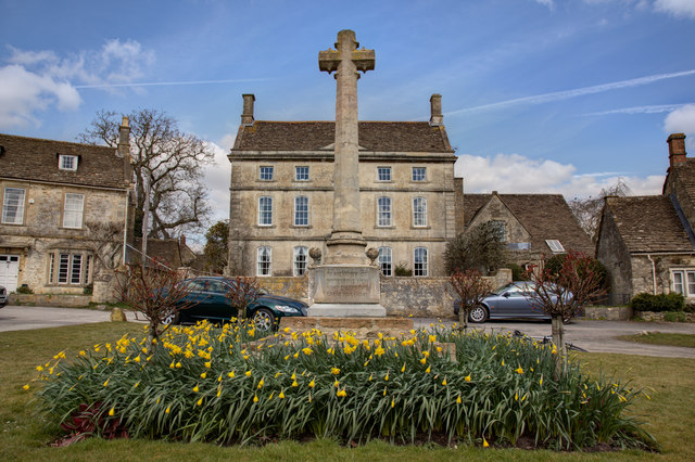
Biddestone
Biddestone is a village and former civil parish, now in the parish of Biddestone and Slaughterford, in the Wiltshire district, in northwest Wiltshire,...

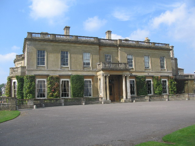
Sheldon Manor
Sheldon Manor near Chippenham, Wiltshire, England, is Wiltshire's oldest inhabited manor house and dates back to Anglo-Saxon times. Its structure is mostly...

Chippenham Without
Chippenham Without is a civil parish in Wiltshire, England, created as a separate entity from the parish of Chippenham by the Local Government Act 1894...

Tiddleywink
Tiddleywink is a hamlet consisting of eight cottages on the B4039 road, near the village of Yatton Keynell, about 3 miles (4.8 km) northwest of Chippenham...
Hartham Park
Hartham Park is a Georgian manor house in Wiltshire, England, about 1+1⁄4 miles (2.0 km) north of the town of Corsham. Originally designed by James Wyatt...

Hartham House
Hartham House was a country house at Hartham, Wiltshire, England, standing next to Hartham Park, north-west of the town of Corsham. During the Tudor and...
Vincients Wood
Vincients Wood is a small nature reserve, a 12 acres (5 ha) area of semi-natural broadleaved woodland on the western edge of the town of Chippenham, Wiltshire...

Allington, North Wiltshire
Allington is a hamlet in north Wiltshire, England. It is on the edge of the market town of Chippenham, about 2 miles (3 km) north-west of the town centre...
Nearby Amenities
Located within 500m of 51.463785,-2.1831389Have you been to Chapscroft Wood?
Leave your review of Chapscroft Wood below (or comments, questions and feedback).