Fairy Glen
Wood, Forest in Worcestershire Wyre Forest
England
Fairy Glen
The requested URL returned error: 429 Too Many Requests
If you have any feedback on the listing, please let us know in the comments section below.
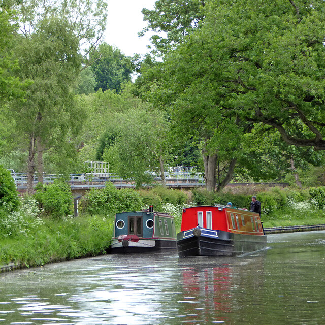
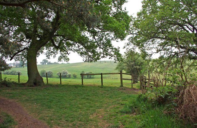
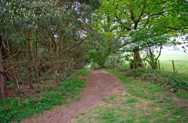
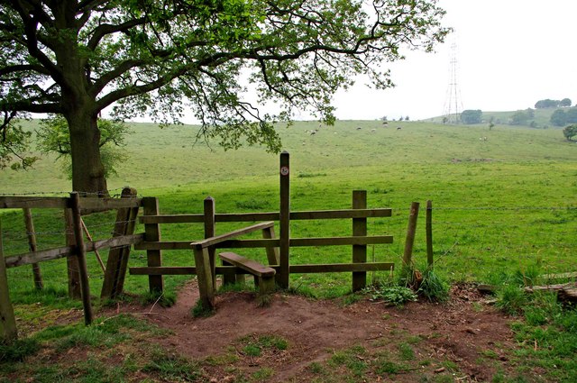
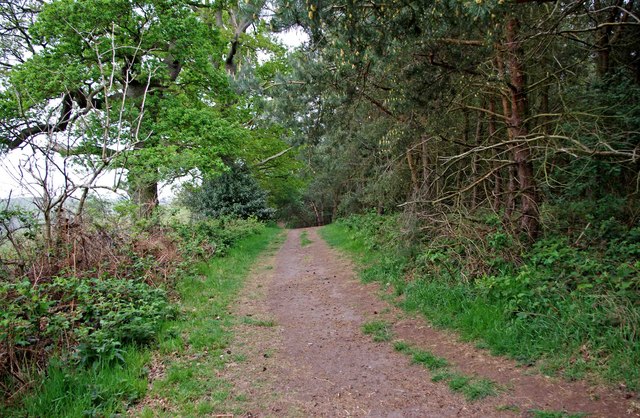
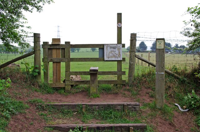
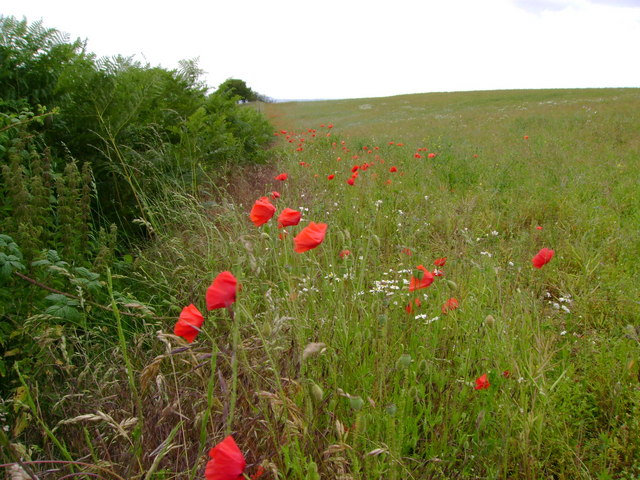
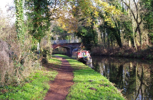
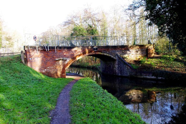
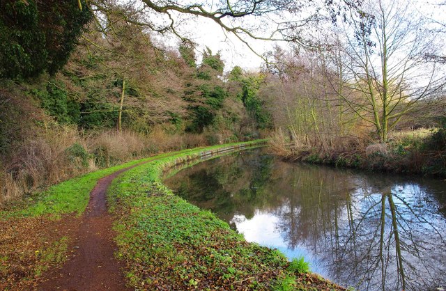
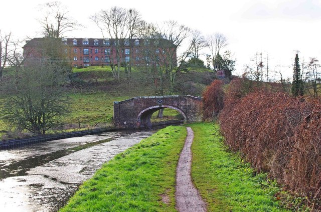
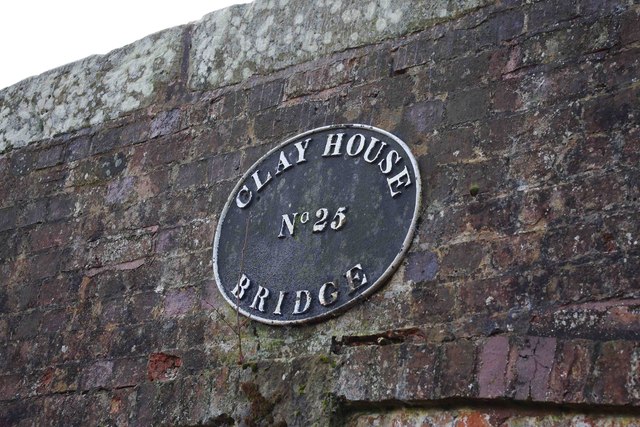
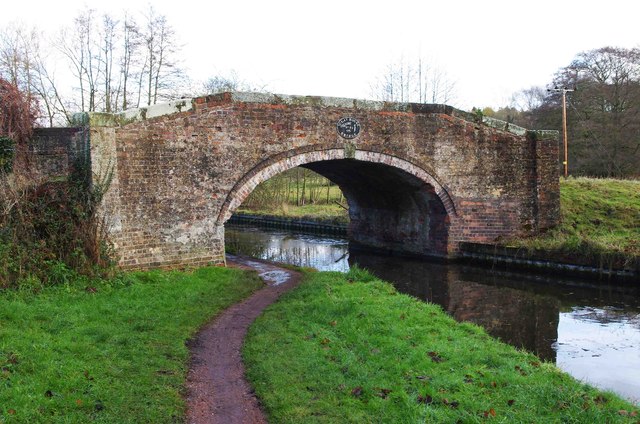
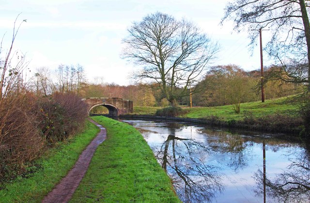
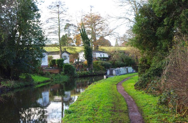
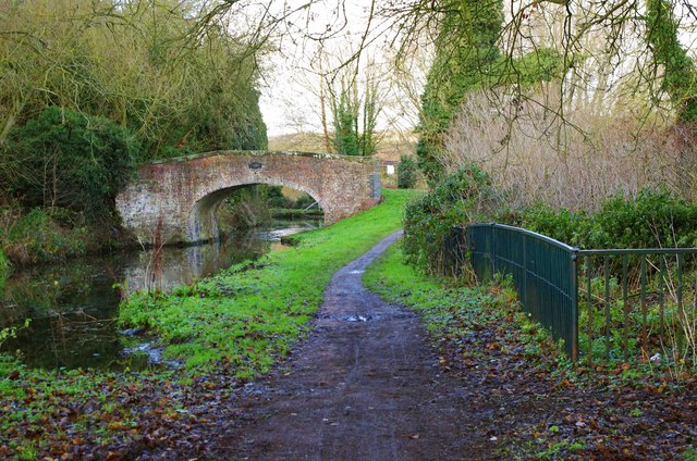
Fairy Glen Images
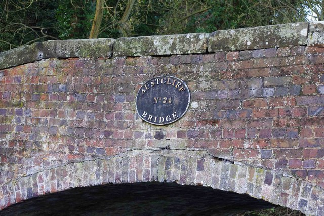
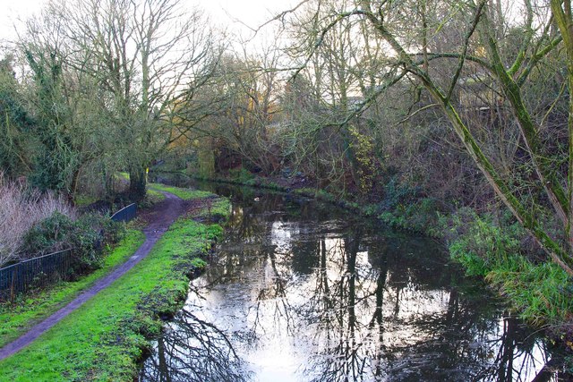
Images are sourced within 2km of 52.426208/-2.1972834 or Grid Reference SO8680. Thanks to Geograph Open Source API. All images are credited.
Fairy Glen is located at Grid Ref: SO8680 (Lat: 52.426208, Lng: -2.1972834)
Administrative County: Worcestershire
District: Wyre Forest
Police Authority: West Mercia
What 3 Words
///flexed.lyrics.incoming. Near Kinvere, Staffordshire
Nearby Locations
Related Wikis

Caunsall
Caunsall is a hamlet in Worcestershire, England a few miles to the north of Kidderminster and close to the villages of Kinver, Cookley and Wolverley. It...

Iverley
Iverley is an area of the parish of Kinver in Staffordshire that has no road link to the rest of the parish. It is notable as being the most southerly...

Axborough
Axborough is a low wooded hill east of Cookley in north Worcestershire, England. == History == Its Saxon name meant hassock grass barrow. This does not...

Churchill, Wyre Forest
Churchill is a village and former civil parish, now in the parish of Churchill and Blakedown, in the Wyre Forest district of Worcestershire, England. It...
Nearby Amenities
Located within 500m of 52.426208,-2.1972834Have you been to Fairy Glen?
Leave your review of Fairy Glen below (or comments, questions and feedback).