Hanging Wood

Wood, Forest in Cheshire

England

Hanging Wood

Fence Lane from Mow Lane
Fence Lane from Mow Lane Credit: Ian S

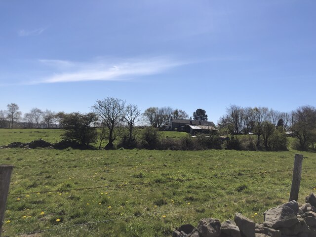
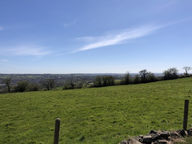
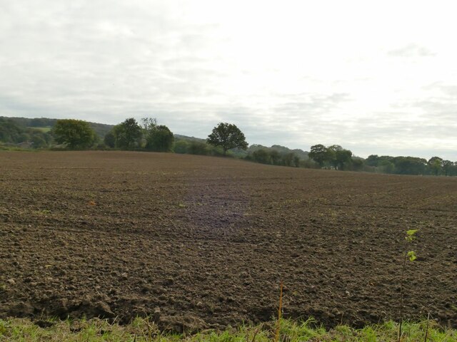
Hanging Wood is a picturesque forest located in the county of Cheshire, England. Spanning approximately 100 acres, this woodland is known for its natural beauty and tranquil atmosphere. It is situated near the village of Moulton, just a short distance from the city of Chester.

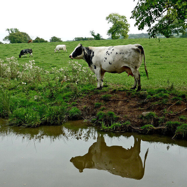
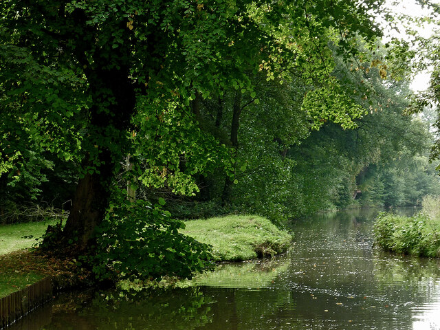
The woodland is predominantly made up of a mix of broadleaf trees, including oak, beech, ash, and birch, creating a diverse and vibrant ecosystem. The lush foliage provides a sheltered habitat for a variety of wildlife, including squirrels, rabbits, and a wide range of bird species.

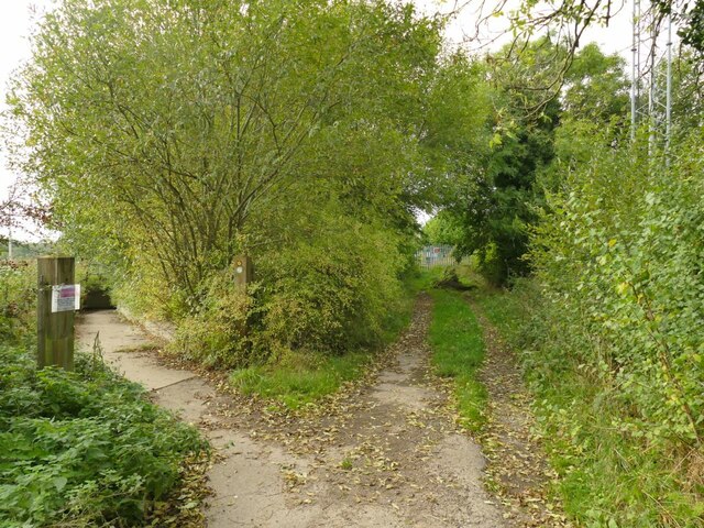
Hanging Wood offers visitors a network of well-maintained footpaths, allowing them to explore the forest and experience its natural wonders. The trails wind through the woodland, leading to picturesque viewpoints and secluded picnic spots. The forest is a popular destination for nature enthusiasts, hikers, and families looking to enjoy a peaceful day out in the countryside.

Additionally, Hanging Wood has a rich history, with evidence of human activity dating back centuries. The site has been used for timber production in the past, and remnants of old saw pits and charcoal hearths can still be found within the woodland. These historical features add an intriguing layer to the forest's charm and provide a glimpse into its past.

Overall, Hanging Wood in Cheshire offers visitors a tranquil retreat, where they can immerse themselves in the beauty of nature, explore its diverse wildlife, and connect with the rich history of the area.

If you have any feedback on the listing, please let us know in the comments section below.
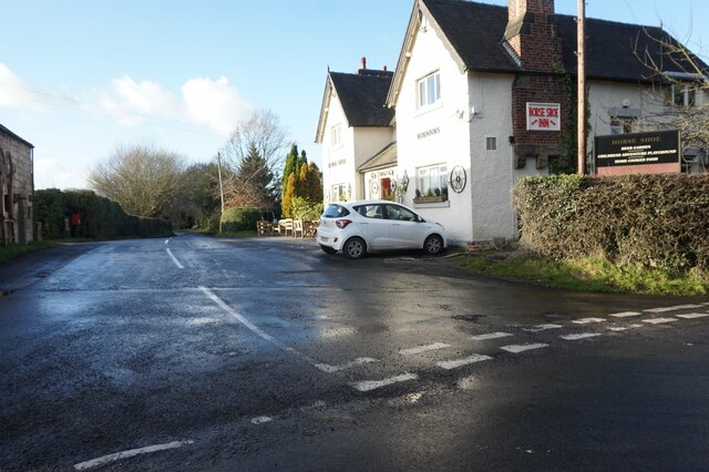
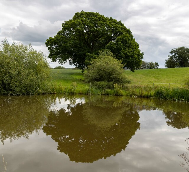
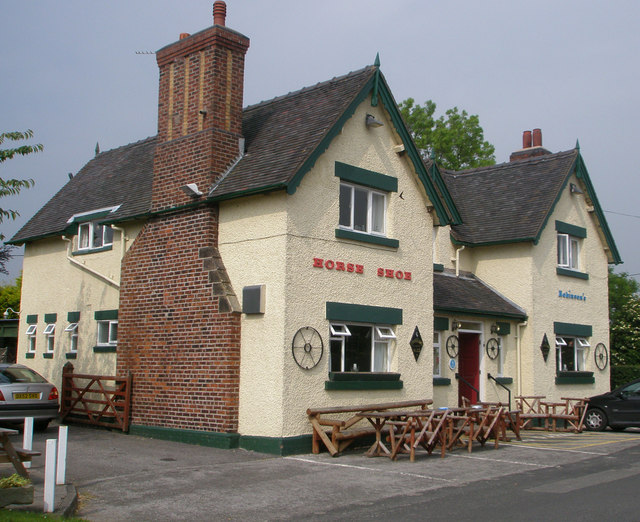
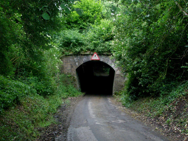
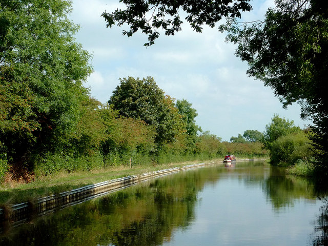
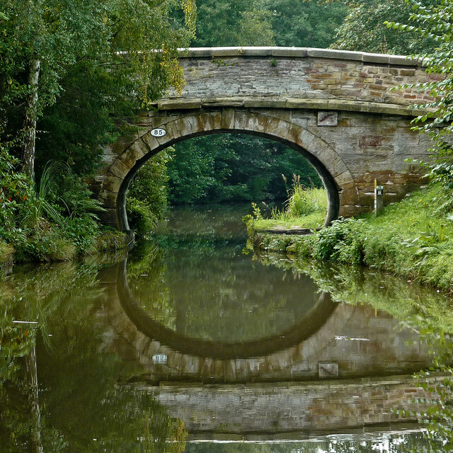
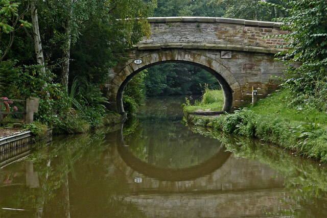
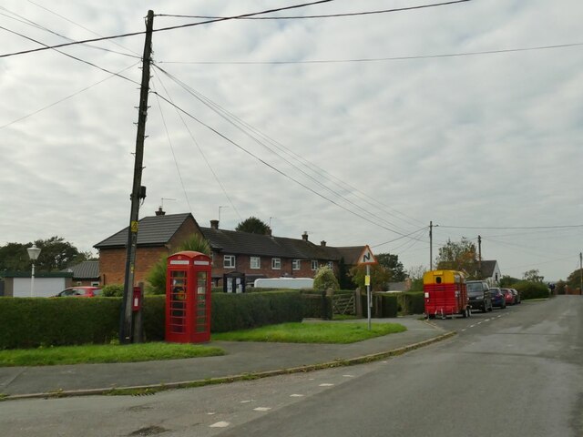
Hanging Wood Images

Images are sourced within 2km of 53.121546/-2.2137104 or Grid Reference SJ8558. Thanks to Geograph Open Source API. All images are credited.

Fence Lane from Mow Lane
Macclesfield Canal Tree alongside the Macclesfield Canal.
Macclesfield Canal
Tree alongside the Macclesfield Canal.
Barn with parish council notice board Opposite the Horse Shoe Inn.
Barn with parish council notice board
Opposite the Horse Shoe Inn.
Horse Shoe Inn A pleasant isolated country pub with beer garden and play area in Newbold Astbury. It dates from 1774.
Horse Shoe Inn
A pleasant isolated country pub with beer garden and play area in Newbold Astbury. It dates from 1774.
A very narrow canal bridge. Possibly not built with milk tankers in mind.
A very narrow canal bridge.
Possibly not built with milk tankers in mind.
Macclesfield Canal south of Astbury, Cheshire There is a winding hole here in which boats up to seventy feet in length can turn round.
Macclesfield Canal south of Astbury, Cheshire
There is a winding hole here in which boats up to seventy feet in length can turn round.
Simpson Bridge north-east of Scholar Green, Cheshire Looking south-south-west towards Kidsgrove, Simpson Bridge is No 85, and carries New Road over the Macclesfield Canal near Ackers Crossing.
Simpson Bridge north-east of Scholar Green, Cheshire
Looking south-south-west towards Kidsgrove, Simpson Bridge is No 85, and carries New Road over the Macclesfield Canal near Ackers Crossing.
Macclesfield Canal at Ackers Crossing in Cheshire Looking south-south-west towards Kidsgrove, Simpson Bridge is No 85 across the Macclesfield Canal near Ackers Crossing, and carries New Road.
Macclesfield Canal at Ackers Crossing in Cheshire
Looking south-south-west towards Kidsgrove, Simpson Bridge is No 85 across the Macclesfield Canal near Ackers Crossing, and carries New Road.
Canalside grazing near Ackers Crossing in Cheshire These cattle are grazing by the Macclesfield Canal, north of Rowndes No 2 Bridge, No 86.
Canalside grazing near Ackers Crossing in Cheshire
These cattle are grazing by the Macclesfield Canal, north of Rowndes No 2 Bridge, No 86.
Macclesfield Canal near Scholar Green in Cheshire Looking south-south-west near Ramsdell Hall.
The bridge half a mile to the north is called Rowndes No 2 Bridge, No 86 on current Macclesfield Canal numbering. Is the narrowing ahead here the site of a former Rowndes No 1 Bridge? The position is not included as No 87, which is allocated to Kent Green Bridge, to the south-west. Late Victorian OS maps show a track leading directly to this spot, but already no bridge.
Macclesfield Canal near Scholar Green in Cheshire
Looking south-south-west near Ramsdell Hall. The bridge half a mile to the north is called Rowndes No 2 Bridge, No 86 on current Macclesfield Canal numbering. Is the narrowing ahead here the site of a former Rowndes No 1 Bridge? The position is not included as No 87, which is allocated to Kent Green Bridge, to the south-west. Late Victorian OS maps show a track leading directly to this spot, but already no bridge.
Farm on the Staffordshire/Cheshire border
View south-east from Mow Lane Biddulph in the valley below
View south-east from Mow Lane
Biddulph in the valley below
New Road, Ackers Crossing Ackers Crossing seems to be a settlement that has grown up near to, and taken its name from, a railway level crossing.  The red phone box now contains a defibrillator rather than a phone.
New Road, Ackers Crossing
Ackers Crossing seems to be a settlement that has grown up near to, and taken its name from, a railway level crossing. The red phone box now contains a defibrillator rather than a phone.
Ackers Crossing closed A former railway level crossing, now closed and replaced by a pedestrian subway.  The pedestrian gate here is just for railway workers.
Ackers Crossing closed
A former railway level crossing, now closed and replaced by a pedestrian subway. The pedestrian gate here is just for railway workers.
Railway north of Ackers Crossing The twin-track electrified main line from Stoke on Trent to Stockport and Manchester.
Railway north of Ackers Crossing
The twin-track electrified main line from Stoke on Trent to Stockport and Manchester.
Pedestrian subway at Ackers Crossing The underpass takes the South Cheshire Way under the main line from Stoke on Trent to Stockport and Manchester. It replaces the former level crossing <a href="https://www.geograph.org.uk/photo/6995593">SJ8458 : Ackers Crossing closed</a>.
Pedestrian subway at Ackers Crossing
The underpass takes the South Cheshire Way under the main line from Stoke on Trent to Stockport and Manchester. It replaces the former level crossing SJ8458 : Ackers Crossing closed.
Diverted footpath at Ackers Crossing The track forming part of the South Cheshire Way that used to cross the railway by means of a level crossing <a href="https://www.geograph.org.uk/photo/6995593">SJ8458 : Ackers Crossing closed</a> is now diverted through a subway <a href="https://www.geograph.org.uk/photo/6995597">SJ8458 : Pedestrian subway at Ackers Crossing</a>.
Diverted footpath at Ackers Crossing
The track forming part of the South Cheshire Way that used to cross the railway by means of a level crossing SJ8458 : Ackers Crossing closed is now diverted through a subway SJ8458 : Pedestrian subway at Ackers Crossing.
Rich Cheshire loam This field marks effectively the eastern edge of the fertile Cheshire Plain as the land starts to rise into the Staffordshire Hills.
Rich Cheshire loam
This field marks effectively the eastern edge of the fertile Cheshire Plain as the land starts to rise into the Staffordshire Hills.
Show me another place!

Hanging Wood is located at Grid Ref: SJ8558 (Lat: 53.121546, Lng: -2.2137104)

Unitary Authority: Cheshire East

Police Authority: Cheshire

What 3 Words

///bother.duty.hopes. Near Biddulph, Staffordshire

Related Wikis

Limekiln Wood Nature Reserve

Limekiln Wood Nature Reserve is a 13.1-hectare (32-acre) nature reserve in Cheshire, England, north of the village of Mow Cop. A Site of Special Scientific...

Mow Cop Castle

Mow Cop Castle is a folly at Mow Cop in the civil parish of Odd Rode, Cheshire, England. It is designated as a Grade II listed building on the National...

Mow Cop

Mow Cop is a village split between Cheshire and Staffordshire, and therefore divided between the North West and West Midlands regions of England. It is...

Mow Cop and Scholar Green railway station

Mow Cop and Scholar Green railway station was a station on the North Staffordshire Railway between Stoke-on-Trent and Congleton. It served the village...
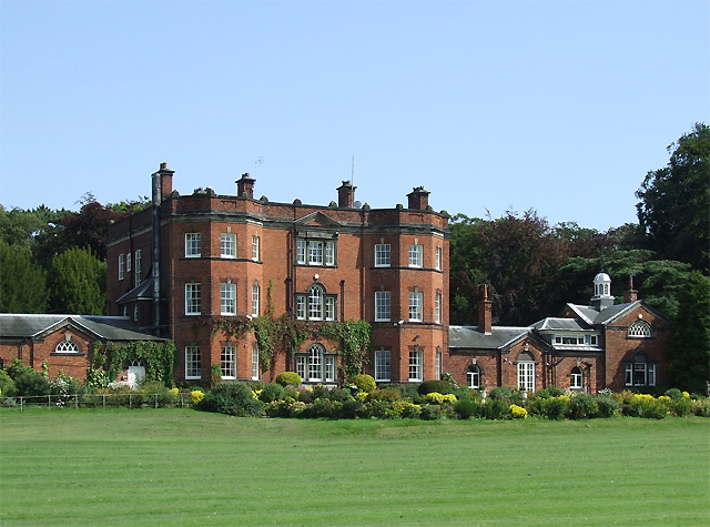
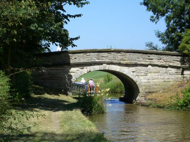
Ramsdell Hall

Ramsdell Hall is a country house in the parish of Odd Rode in Cheshire, England, overlooking the Macclesfield Canal. It was built in two phases during...

Moreton cum Alcumlow

Moreton cum Alcumlow is a small civil parish in the unitary authority of Cheshire East and the ceremonial county of Cheshire, England. In the census of...

Great Moreton Hall

Great Moreton Hall is a former country house in Moreton cum Alcumlow near Congleton, in Cheshire, England, less than a mile (1.6 km) from its better-known...

Biddulph railway station

Biddulph railway station was a railway station opened by the North Staffordshire Railway in 1864. Originally named Gillow Heath the station was renamed...

Nearby Amenities

Located within 500m of 53.121546,-2.2137104
The data included in this document is from www.openstreetmap.org. The data is made available under ODbL.

Have you been to Hanging Wood?

Leave your review of Hanging Wood below (or comments, questions and feedback).