Copy Wood
Wood, Forest in Lancashire Burnley
England
Copy Wood
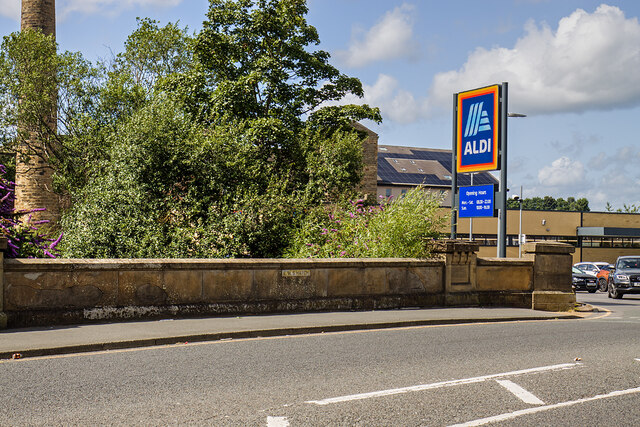
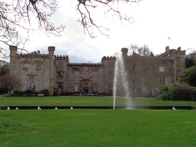
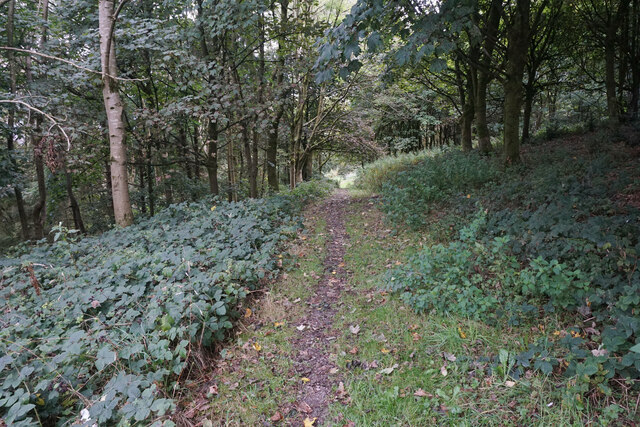
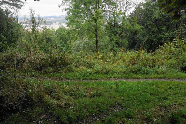
Copy Wood is a small woodland area located in the county of Lancashire, England. Situated near the town of Wood, this forested area spans approximately 100 acres and is a popular destination for nature enthusiasts and outdoor lovers.
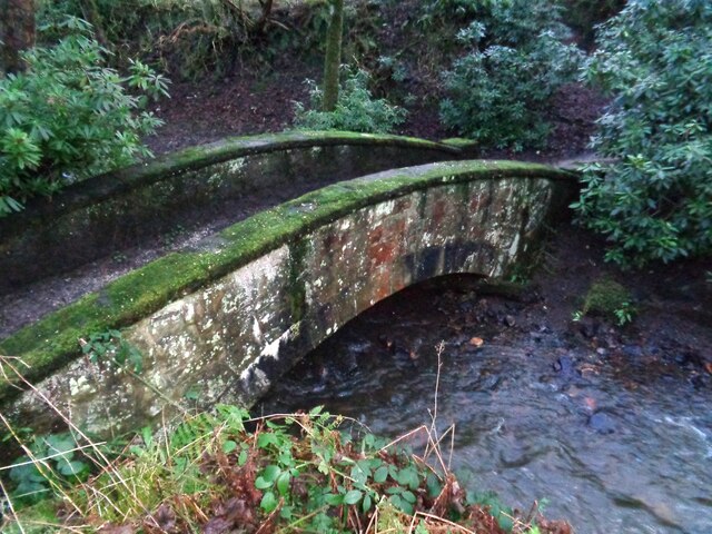
The woodland is primarily composed of deciduous trees such as oak, ash, and birch, creating a diverse and picturesque landscape. These trees provide a habitat for a variety of wildlife, including birds, squirrels, and small mammals. The forest floor is covered in a thick layer of leaf litter, which supports a rich ecosystem of insects and invertebrates.
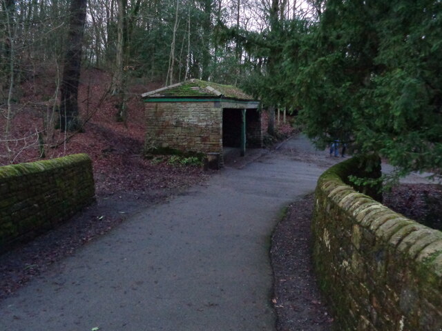
Visitors to Copy Wood can enjoy a network of well-maintained walking trails that wind through the forest, offering opportunities for leisurely strolls and exploration. The paths are surrounded by verdant vegetation, creating a tranquil and peaceful atmosphere. There are also designated picnic areas and benches scattered throughout the woodland, providing a perfect spot for visitors to relax and enjoy the natural surroundings.
Additionally, Copy Wood offers various recreational activities for outdoor enthusiasts. These include birdwatching, photography, and nature study. The woodland is known for its diverse bird population, attracting birdwatchers from near and far. The peaceful ambiance and abundant wildlife make it an ideal location for capturing stunning photographs of the natural world.
Overall, Copy Wood in Lancashire is a charming and idyllic woodland, offering visitors a chance to immerse themselves in nature and enjoy the beauty of the English countryside.
If you have any feedback on the listing, please let us know in the comments section below.
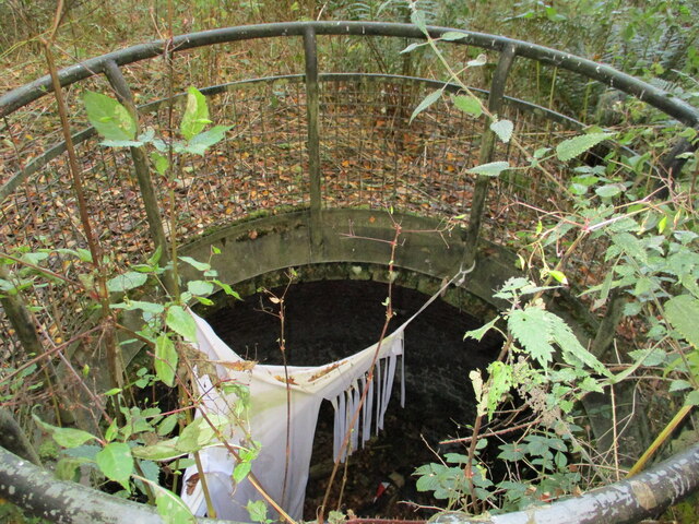
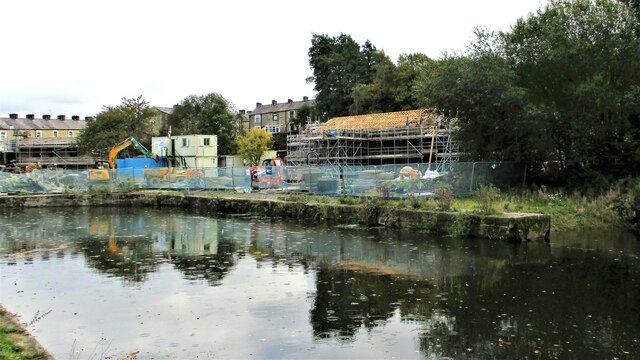
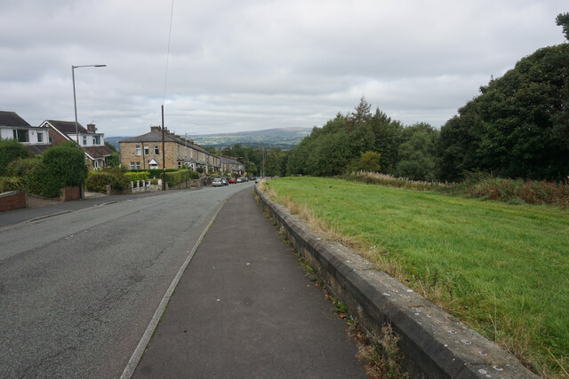
Copy Wood Images
Images are sourced within 2km of 53.770221/-2.2324096 or Grid Reference SD8430. Thanks to Geograph Open Source API. All images are credited.

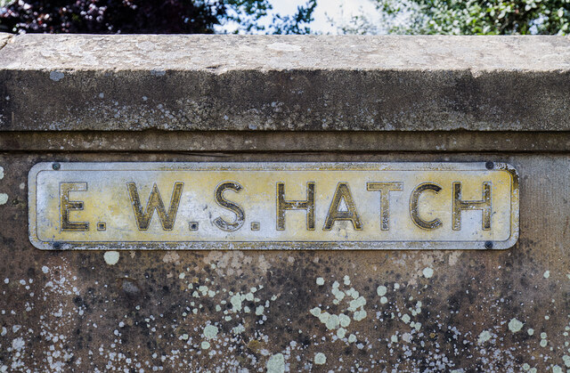
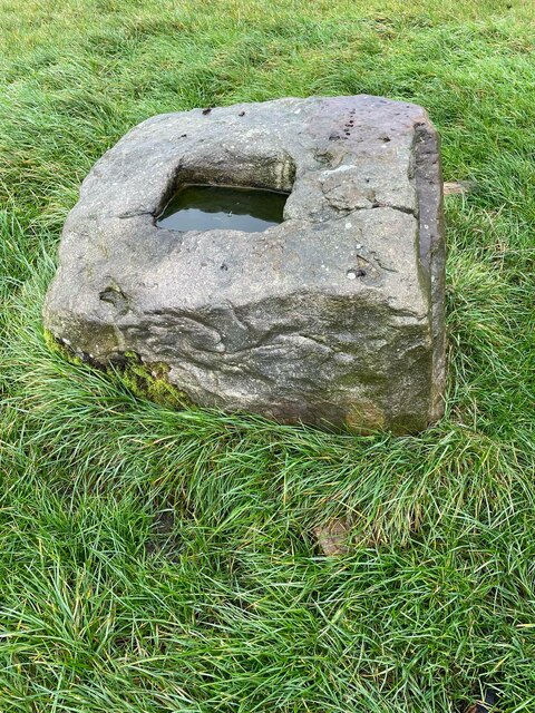
Copy Wood is located at Grid Ref: SD8430 (Lat: 53.770221, Lng: -2.2324096)
Administrative County: Lancashire
District: Burnley
Police Authority: Lancashire
What 3 Words
///engine.pines.hoping. Near Burnley, Lancashire
Nearby Locations
Related Wikis

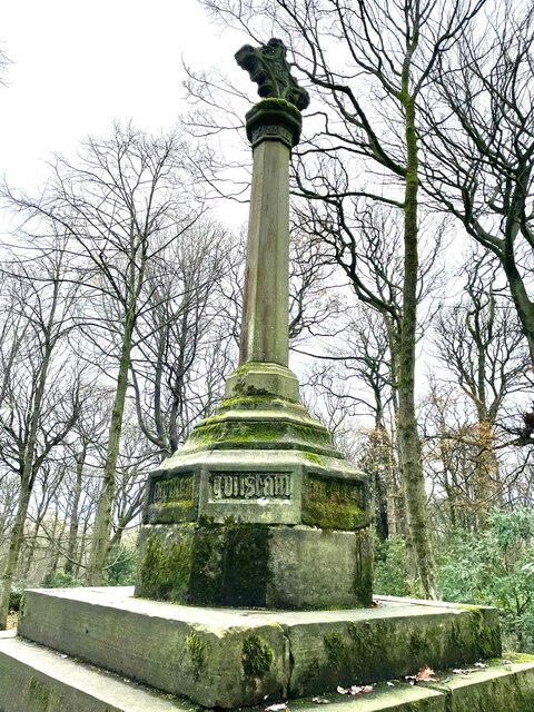
Towneley Colliery
Towneley Colliery or Towneley Desmesne was a coal mine on the Burnley Coalfield in Burnley, Lancashire, England. Sunk in the late 1860s, it was linked...

Towneley Park
Towneley Park is owned and managed by Burnley Borough Council and is the largest and most popular park in Burnley, Lancashire, England. The main entrance...

Towneley railway station
Towneley railway station was a station in Lancashire which served Burnley Wood and the nearby Towneley Hall on the eastern edge of Burnley. Opened on 12...

Burnley Wood
Burnley Wood is a district and former electoral ward of Burnley, Lancashire. In broad terms the area lies between Parliament Street in the north and Hufling...

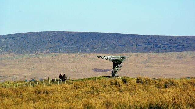
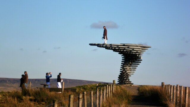
Singing Ringing Tree (sculpture)
The Singing Ringing Tree is a wind powered sound sculpture resembling a tree set in the landscape of the Pennine hill range overlooking Burnley, in Lancashire...

Habergham Eaves
Habergham Eaves is a civil parish in the borough of Burnley, in Lancashire, England. The parish consists of a rural area south of Burnley, and suburban...

Unity College, Burnley
Unity College is a mixed 11-16 comprehensive school in Burnley, Lancashire, England. == History == === Former school === Towneley High School originally...

Cliviger
Cliviger is a civil parish in the Borough of Burnley, in Lancashire, England. It is situated to the southeast of Burnley, and northwest of Todmorden....
Related Videos

Burnley
A Walk Around The Lancashire Town.

Walking to Turf Moor Football Ground and Burnley Town Centre
Today we're in Burnley, in the north of England, to take a walk along the Leeds & Liverpool canal to have a look at Turf Moor, the ...


Burnley, Lancashire【4K】| Town Centre Walk 2021
Join me for a walk around the centre of one of the greatest historic mill towns in Lancashire: Burnley! Once one of the foremost ...
Nearby Amenities
Located within 500m of 53.770221,-2.2324096Have you been to Copy Wood?
Leave your review of Copy Wood below (or comments, questions and feedback).