Rector's Plantation
Wood, Forest in Cheshire
England
Rector's Plantation
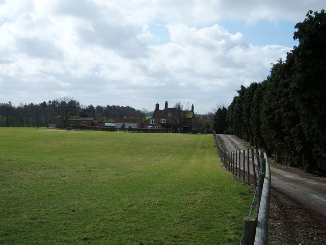
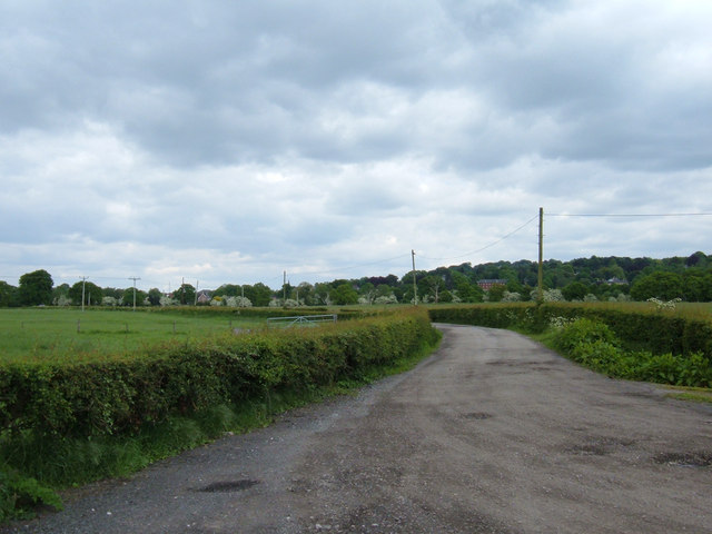
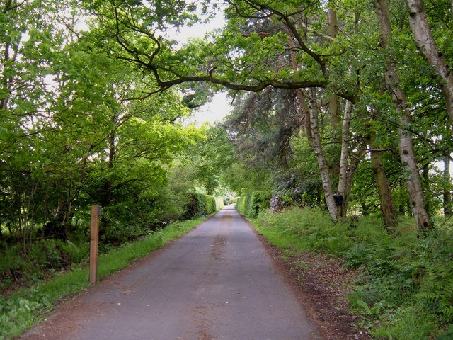
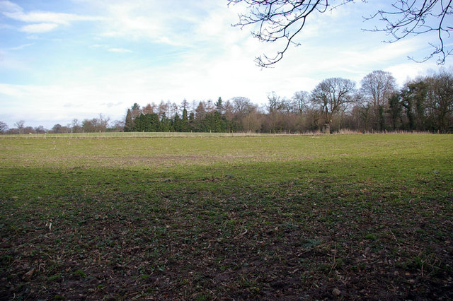
Rector's Plantation is a woodland area located in Cheshire, England. Situated within the larger Cheshire Forest, it covers an approximate area of several acres. The plantation is known for its picturesque landscape, consisting of a mix of mature trees, dense woodland, and open glades.
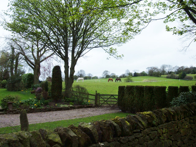
The woodland is home to a variety of plant species, including oak, beech, and birch trees, which create a diverse and vibrant ecosystem. The trees provide a habitat for numerous wildlife species, such as birds, squirrels, and deer, making it a popular spot for nature enthusiasts and birdwatchers.
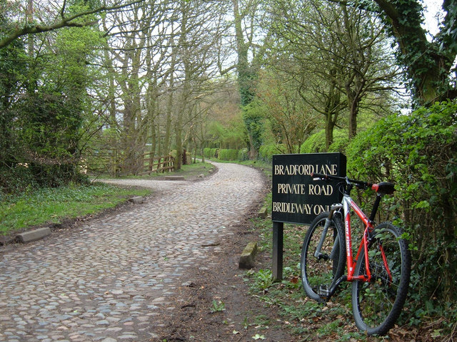
Rector's Plantation is easily accessible by foot, with well-maintained pathways and trails that weave through the woodland. These pathways offer visitors the opportunity to explore the different areas of the plantation, from the tranquil and shaded areas to the sunlit glades. There are also designated picnic spots and benches for visitors to relax and enjoy the peaceful surroundings.
The plantation is open to the public year-round, with no admission fee, making it a popular destination for local residents and tourists alike. It is an ideal location for outdoor activities such as walking, jogging, and photography. The management of the plantation ensures that the natural beauty of the area is preserved and protected for future generations to enjoy.
Overall, Rector's Plantation in Cheshire is a charming woodland area that offers a serene and tranquil escape from the bustling city life. With its diverse flora and fauna, well-maintained pathways, and beautiful scenery, it provides an immersive experience in nature for visitors of all ages.
If you have any feedback on the listing, please let us know in the comments section below.
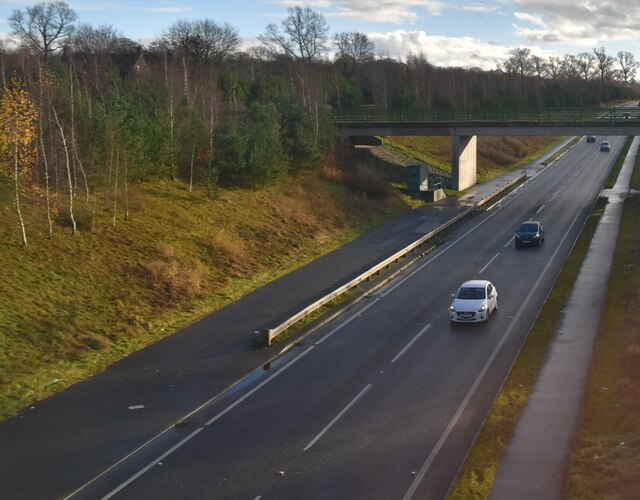
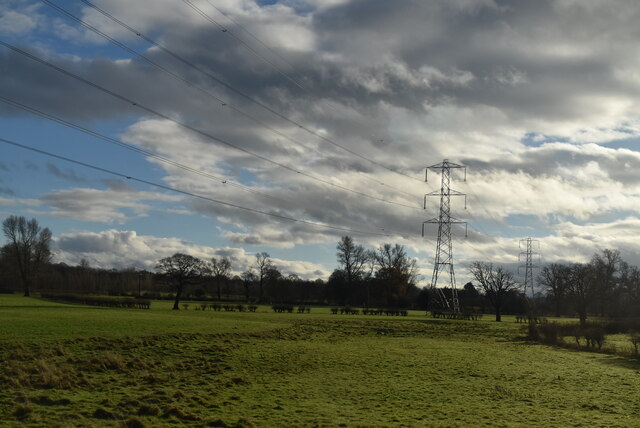
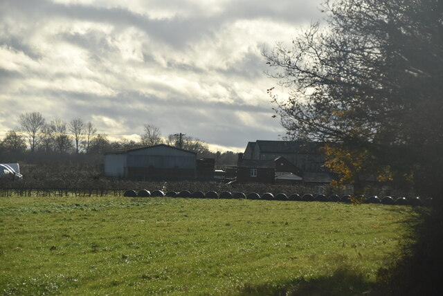
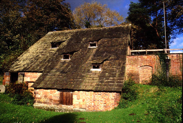
Rector's Plantation Images
Images are sourced within 2km of 53.28134/-2.2424641 or Grid Reference SJ8376. Thanks to Geograph Open Source API. All images are credited.


Rector's Plantation is located at Grid Ref: SJ8376 (Lat: 53.28134, Lng: -2.2424641)
Unitary Authority: Cheshire East
Police Authority: Cheshire
What 3 Words
///croaking.takers.spits. Near Alderley Edge, Cheshire
Nearby Locations
Related Wikis
St Mary's Church, Nether Alderley
St Mary's Church is an Anglican church at the end of a lane to the south of the village of Nether Alderley, Cheshire, England. It dates from the 14th century...

Nether Alderley
Nether Alderley is a village and civil parish in Cheshire, England, on the A34 a mile and a half south of Alderley Edge. The civil parish includes the...

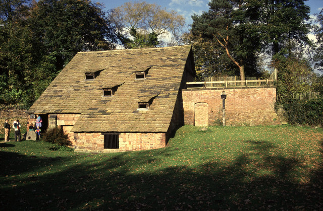
Nether Alderley Mill
Nether Alderley Mill is a 16th-century watermill located in Congleton Road (the A34), to the south of the village of Nether Alderley, Cheshire, England...

Dean Green
Dean Green is a hamlet which partly makes up the civil parish of Nether Alderley in the unitary authority of Cheshire East and the ceremonial county of...

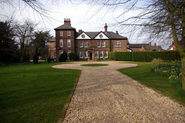
Alderley Old Hall
Alderley Old Hall is the remaining part of a former 17th-century manor house near the village of Nether Alderley, Cheshire, England. It stands adjacent...

Gatley Green
Gatley Green is a hamlet in the civil parish of Nether Alderley in the unitary authority of Cheshire East and the ceremonial county of Cheshire, England...

Heawood Hall
Heawood Hall is a country house, now divided into three houses, southwest of the village of Nether Alderley, Cheshire, England. It originated in the late...
Alderley, Cheshire
Alderley was one of the eight ancient parishes of the Macclesfield Hundred of Cheshire, England. It included the following townships: Over Alderley Nether...
Nearby Amenities
Located within 500m of 53.28134,-2.2424641Have you been to Rector's Plantation?
Leave your review of Rector's Plantation below (or comments, questions and feedback).