Bolton Close Plantation
Wood, Forest in Yorkshire Ribble Valley
England
Bolton Close Plantation
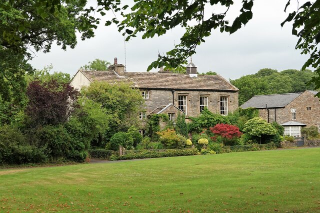
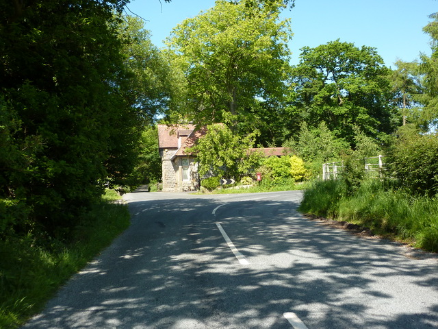
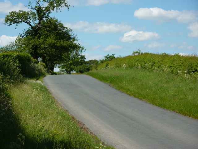
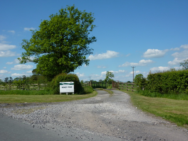
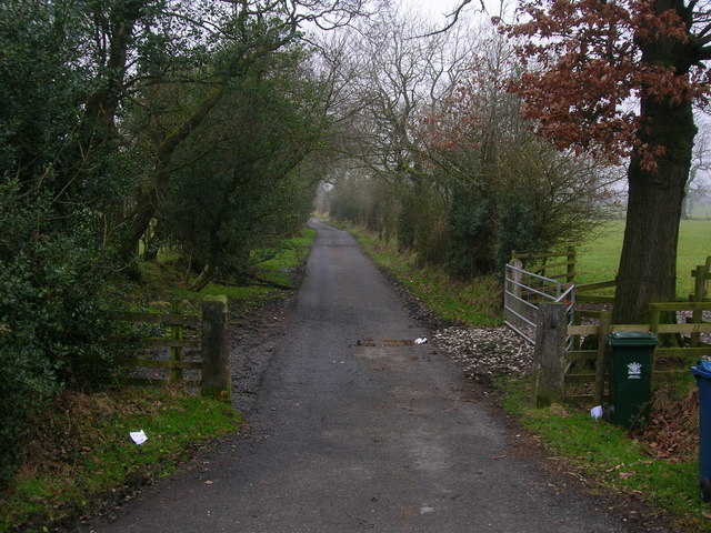
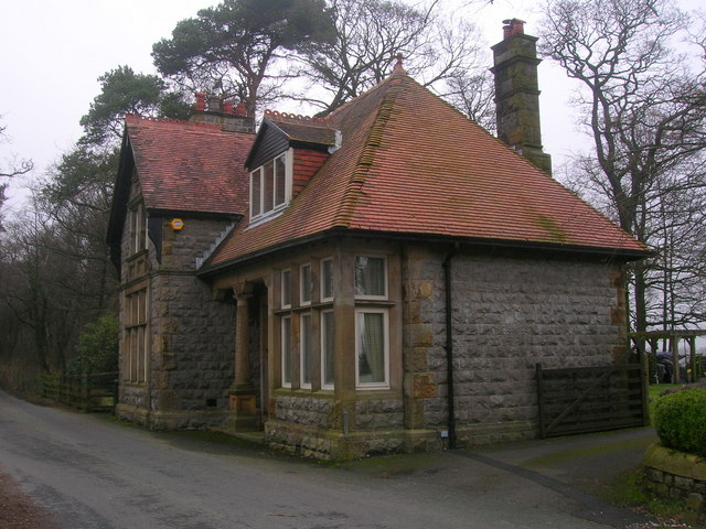
Bolton Close Plantation is a picturesque woodland area located in the county of Yorkshire, England. Situated near the village of Bolton, the plantation covers a vast area, providing a serene and tranquil environment for visitors to enjoy.
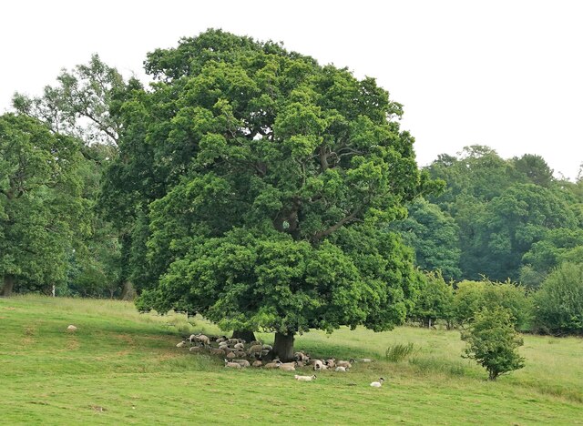
The plantation is primarily composed of various species of trees, including oak, beech, and pine, creating a diverse and captivating landscape. These trees form a dense canopy, providing shade and shelter to the rich undergrowth of ferns, wildflowers, and mosses that thrive in the fertile soil beneath.
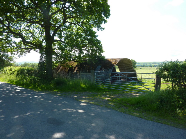
The plantation is a haven for wildlife, offering a habitat for numerous species of birds, mammals, and insects. Visitors may spot woodland creatures such as deer, squirrels, and rabbits, while bird enthusiasts can observe a variety of species, including owls, woodpeckers, and thrushes.
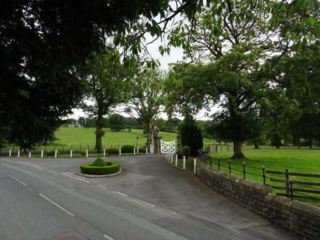
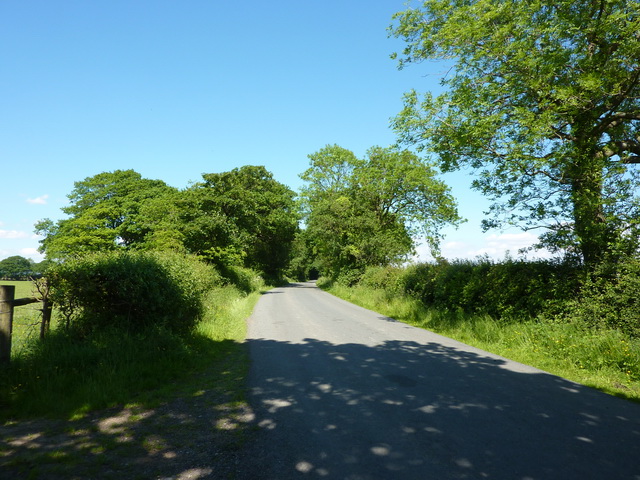
Walking trails wind their way through the plantation, allowing visitors to explore its hidden corners and discover its natural wonders. These paths are well-maintained and accessible to all, making it an ideal destination for families, nature lovers, and hikers alike.
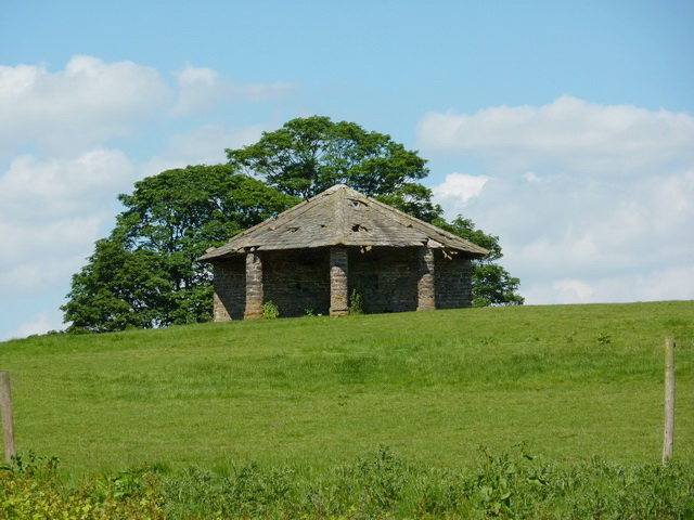
Bolton Close Plantation is a popular destination for outdoor activities such as picnicking, nature photography, and birdwatching. The peaceful ambiance, coupled with the stunning natural beauty, attracts visitors throughout the year, who come to immerse themselves in the tranquility of this enchanting woodland retreat.
Overall, Bolton Close Plantation is a captivating woodland area in Yorkshire that offers a peaceful escape from the hustle and bustle of everyday life. With its diverse flora and fauna, well-marked trails, and abundant natural beauty, it is a must-visit destination for anyone seeking a connection with nature in this picturesque part of England.
If you have any feedback on the listing, please let us know in the comments section below.
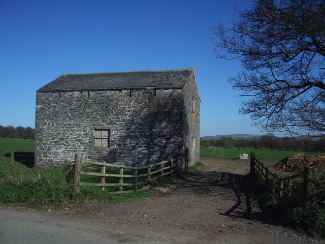
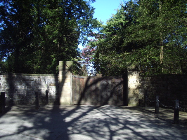
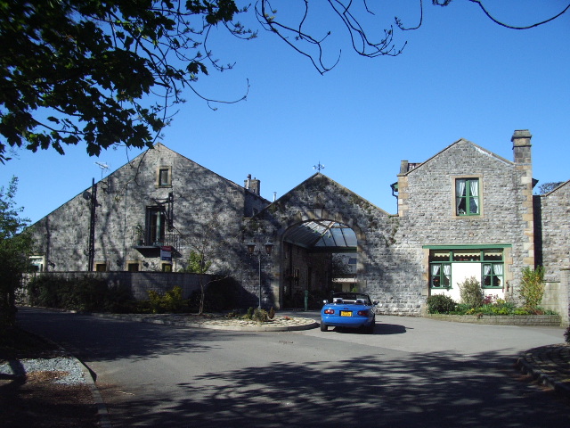
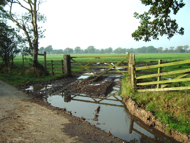
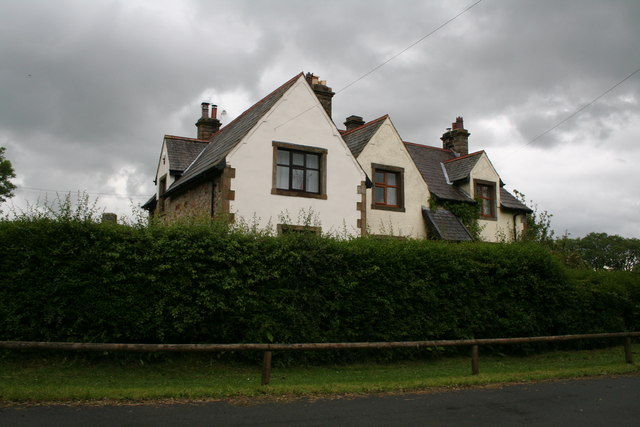
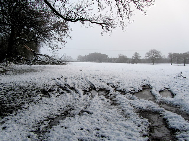
Bolton Close Plantation Images
Images are sourced within 2km of 53.940571/-2.2966061 or Grid Reference SD8049. Thanks to Geograph Open Source API. All images are credited.
Bolton Close Plantation is located at Grid Ref: SD8049 (Lat: 53.940571, Lng: -2.2966061)
Division: West Riding
Administrative County: Lancashire
District: Ribble Valley
Police Authority: Lancashire
What 3 Words
///beaks.listed.herbs. Near Chatburn, Lancashire
Nearby Locations
Related Wikis

Stock Beck
Stock Beck is a minor river in the West Craven area of Pendle, Lancashire (formerly in Yorkshire). It is 8.25 miles (13.27 km) long and has a catchment...

St Peter and St Paul's Church, Bolton-by-Bowland
St Peter and St Paul's Church is in Gisburn Road, Bolton-by-Bowland, Lancashire, England. It is an active Anglican parish church in the deanery of Whalley...

Gisburne Park
Gisburne Park is an 18th-century country house and associated park in Gisburn, Lancashire, England, in the Ribble Valley some 6 miles (10 km) north-east...

Gisburn railway station
Gisburn railway station served the small village of Gisburn, which is now in Lancashire, England, but was in the West Riding of Yorkshire at the time....
Nearby Amenities
Located within 500m of 53.940571,-2.2966061Have you been to Bolton Close Plantation?
Leave your review of Bolton Close Plantation below (or comments, questions and feedback).