Waste Coppice

Wood, Forest in Worcestershire Malvern Hills

England

Waste Coppice

Breathtaking Quite a view from Hurtle Hill.
Breathtaking Credit: Ian Paterson

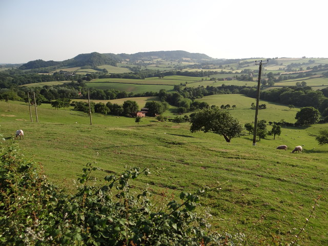
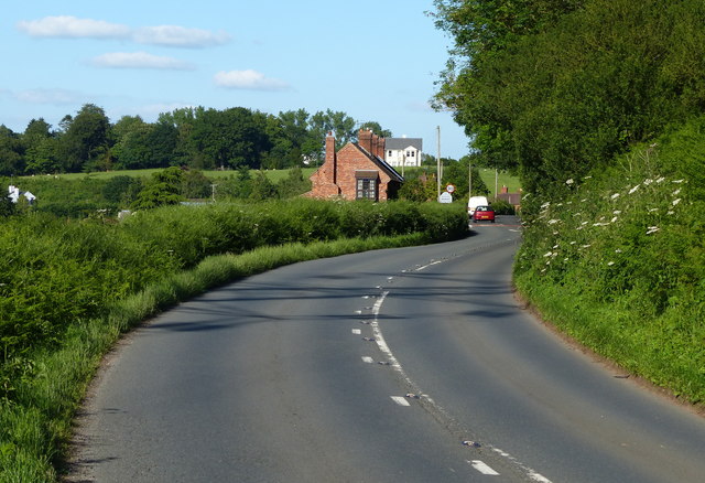
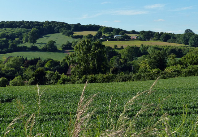
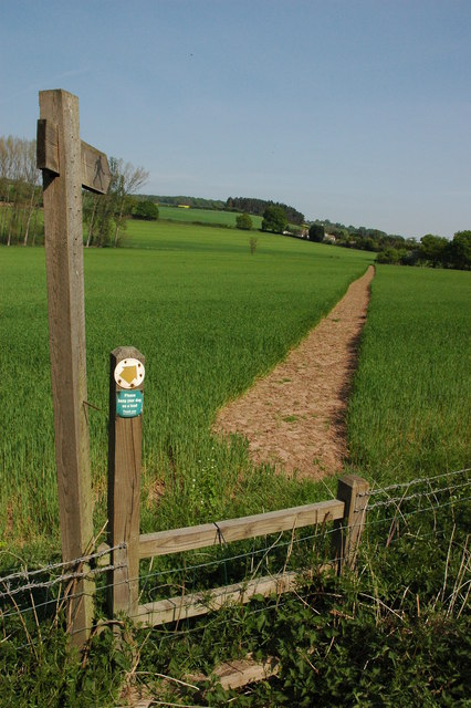
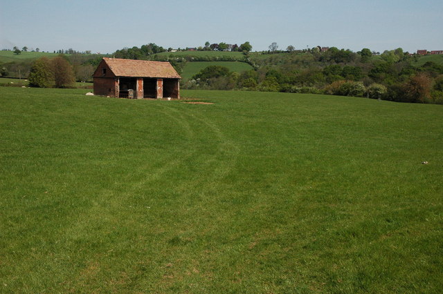
Waste Coppice is a small wood located in Worcestershire, England. Situated on the outskirts of the village of Stourport-on-Severn, the coppice covers an area of approximately 20 acres. It is situated within the Wyre Forest District and is easily accessible via a network of footpaths and trails.

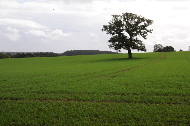
The wood is predominantly made up of deciduous trees, including oak, ash, and birch. These trees provide a diverse habitat for wildlife, attracting various bird species such as woodpeckers, owls, and thrushes. The forest floor is also home to a rich variety of plants and fungi, thriving in the damp and shaded environment.

Waste Coppice has a rich history, with evidence of human activity dating back centuries. The wood was traditionally managed as a coppice, a sustainable method of woodland management where trees are regularly cut down to encourage new growth. This practice provided a valuable source of timber and fuel for the local community.

Today, Waste Coppice is primarily used as a recreational space for locals and visitors alike. The wood offers a tranquil and picturesque setting for walking, jogging, and nature observation. Several well-maintained trails wind through the woodland, providing opportunities to explore its diverse flora and fauna.

The wood is also an important site for educational purposes, with local schools and nature groups often organizing field trips to study the ecosystem and learn about sustainable woodland management. Overall, Waste Coppice is a cherished natural resource within Worcestershire, serving as an important haven for wildlife and a peaceful retreat for nature enthusiasts.

If you have any feedback on the listing, please let us know in the comments section below.

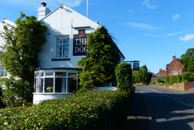
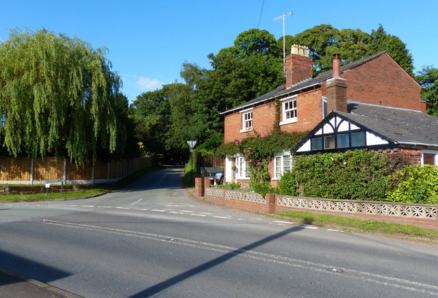
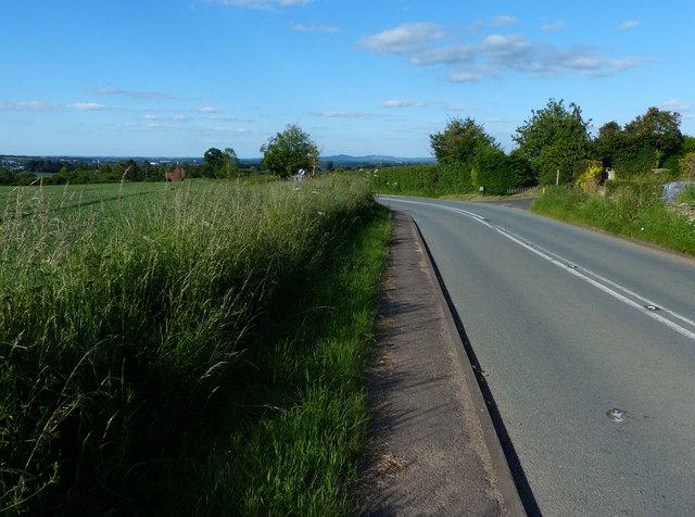
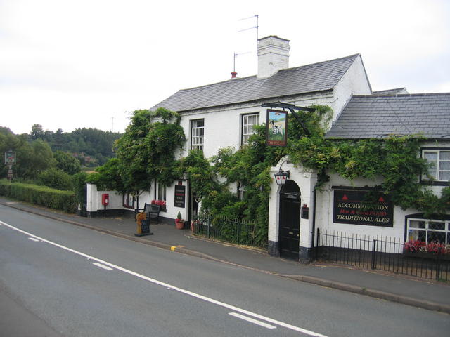
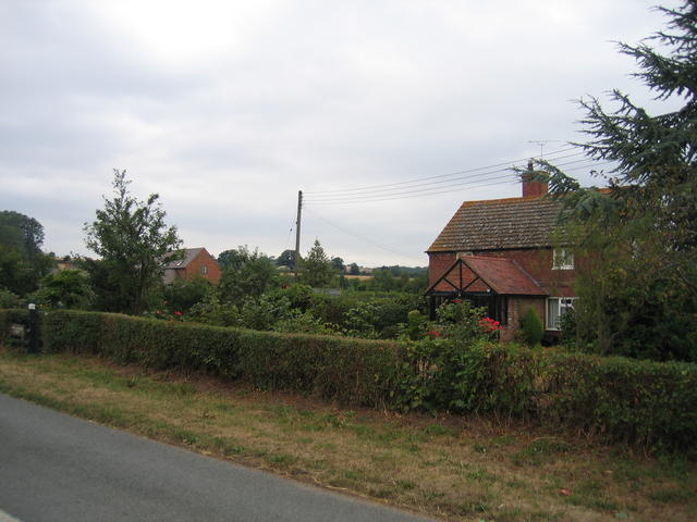
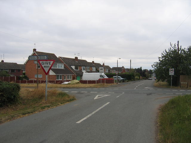
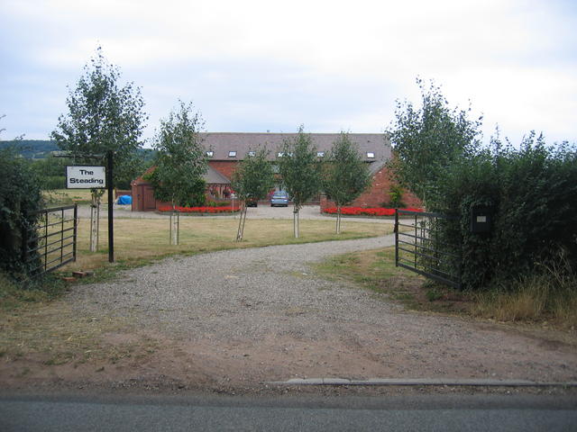
Waste Coppice Images

Images are sourced within 2km of 52.332875/-2.3160743 or Grid Reference SO7870. Thanks to Geograph Open Source API. All images are credited.

Breathtaking Quite a view from Hurtle Hill.
Breathtaking
Quite a view from Hurtle Hill.
The Dog, Dunley
The Dog, Dunley
Road junction in Dunley House on the corner by a road junction in Dunley.
Road junction in Dunley
House on the corner by a road junction in Dunley.
Oak tree in an arable field Oak tree in an arable field between Astely Cross and Dunley.
Oak tree in an arable field
Oak tree in an arable field between Astely Cross and Dunley.
A451 at Lower Strand Cottages On the southern edge of Dunley village.
A451 at Lower Strand Cottages
On the southern edge of Dunley village.
A451 in the village of Dunley
Houses along the A451 in Dunley
Farmland in the village of Dunley
The Dog Inn, Dunley Public house along the A451.
The Dog Inn, Dunley
Public house along the A451.
Redhouse Lane junction in Dunley
Dunley Road towards Areley Kings
View north towards Areley Wood
The Dog Inn, Dunley This is the pub shown on the OS Map beside the Stourport - Witley road in the SE corner of the square.
The Dog Inn, Dunley
This is the pub shown on the OS Map beside the Stourport - Witley road in the SE corner of the square.
New Barns Farm The old farmhouse is on the right and the barns, now converted into <a href="https://www.geograph.org.uk/photo/218662">SO7969 : The Steadings</a> can be seen in the distance.  Behind the photographer the urban development of <a href="https://www.geograph.org.uk/photo/218636">SO7969 : Edge of Areley Kings</a> and Stourport and then much of the West Midlands commences.
New Barns Farm
The old farmhouse is on the right and the barns, now converted into SO7969 : The Steadings can be seen in the distance. Behind the photographer the urban development of SO7969 : Edge of Areley Kings and Stourport and then much of the West Midlands commences.
Edge of Areley Kings Looking the other way from <a href="https://www.geograph.org.uk/photo/218563">SO7969 : New Barns Farm</a> towards the edge of the Areley Kings area of Stourport.
Edge of Areley Kings
Looking the other way from SO7969 : New Barns Farm towards the edge of the Areley Kings area of Stourport.
The Steadings The converted barns at New Barns Farm on the edge of Stourport-on-Severn. These are the barns just visible from near <a href="https://www.geograph.org.uk/photo/218563">SO7969 : New Barns Farm</a> farmhouse.
The Steadings
The converted barns at New Barns Farm on the edge of Stourport-on-Severn. These are the barns just visible from near SO7969 : New Barns Farm farmhouse.
Footpath to Dunley
Footpath to Dunley
Shed in a field to the west of Dunley
Show me another place!

Waste Coppice is located at Grid Ref: SO7870 (Lat: 52.332875, Lng: -2.3160743)

Administrative County: Worcestershire

District: Malvern Hills

Police Authority: West Mercia

What 3 Words

///storybook.hobbit.requests. Near Stourport-on-Severn, Worcestershire

Nearby Locations

Waste Coppice

Related Wikis

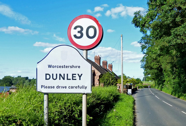
Dunley, Worcestershire

Dunley is a village, and a civil parish (with Astley), in the administrative district of Malvern Hills in the county of Worcestershire, England. ��2�...

Areley Kings

Areley Kings is a village on the River Severn in the Wyre District of Worcestershire, England. It is 10 miles north of Worcester and south of Stourport...

Heightington

Heightington is a small village in Worcestershire, England. It lies a little to the south-west of Bewdley and a little to the west of Stourport-on-Severn...

Astley Cross

Astley Cross is a village in Worcestershire, England, located on the outskirts of Stourport-on-Severn. The village lies 1 mile (1.6 km) south of the centre...

Areley Hall

Areley Hall is a Grade II listed country house near Areley Kings in Stourport-on-Severn, Worcestershire, England. It is not to be confused with nearby...

Stourport Boat Club

Stourport Boat Club is a rowing club on the River Severn, based at the Riverside, Dunley Road, Stourport-on-Severn, Worcestershire. == History == The club...

Stourport Swifts F.C.

Stourport Swifts Football Club are a football team from Stourport-on-Severn, and one of the oldest non-league teams in the country. The Swifts currently...

Droitwich Spa F.C.

Droitwich Spa Football Club is a football club representing the town of Droitwich Spa, Worcestershire, England. They are currently members of the Midland...

Nearby Amenities

Located within 500m of 52.332875,-2.3160743
Barrier: stile
Lat/Long: 52.3316867/-2.3172395
Barrier: stile
Lat/Long: 52.3318672/-2.3175876
Barrier: stile
Lat/Long: 52.3310051/-2.3145047
Wood Cottage
Power: pole
Transformer: distribution
Voltage Primary: 11000
Lat/Long: 52.3346769/-2.3196776
Power: pole
Lat/Long: 52.3354546/-2.3202395
Power: pole
Lat/Long: 52.3361274/-2.3202449
Power: pole
Lat/Long: 52.3365797/-2.3202489
The Waste Dunley
Power: pole
Transformer: distribution
Voltage Primary: 11000
Lat/Long: 52.3303495/-2.3152714
Power: pole
Lat/Long: 52.3316423/-2.3172127
Noahs Ark Dunley
Power: pole
Transformer: distribution
Voltage Primary: 11000
Lat/Long: 52.3318562/-2.3174983
Power: pole
Lat/Long: 52.3307986/-2.3159413
Power: pole
Lat/Long: 52.3307215/-2.3144983
Power: pole
Lat/Long: 52.3304769/-2.3142461
Power: pole
Lat/Long: 52.3305613/-2.3135535
Power: pole
Lat/Long: 52.3307015/-2.3123867
Bank Farm
Power: pole
Transformer: distribution
Voltage Primary: 11000
Lat/Long: 52.3312051/-2.3113031
Power: pole
Lat/Long: 52.3305703/-2.3102
The data included in this document is from www.openstreetmap.org. The data is made available under ODbL.

Have you been to Waste Coppice?

Leave your review of Waste Coppice below (or comments, questions and feedback).