Fulshaw Wood
Wood, Forest in Yorkshire Ribble Valley
England
Fulshaw Wood
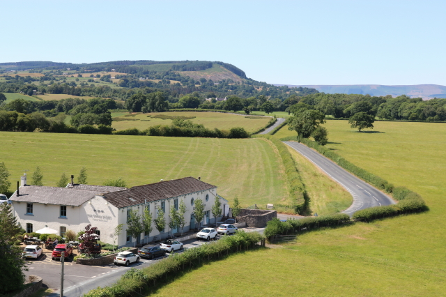
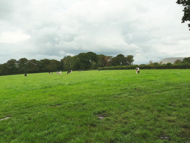
Fulshaw Wood is a picturesque woodland located in the county of Yorkshire, England. Covering an area of approximately 100 acres, it is a popular destination for nature enthusiasts and provides a peaceful retreat from the bustling nearby towns and villages.
The wood is predominantly made up of deciduous trees, including oak, beech, and birch, which create a rich and diverse ecosystem. The dense canopy provides shade and shelter for a variety of wildlife, including birds, mammals, and insects.
Tranquil walking trails meander through the wood, allowing visitors to explore and appreciate the natural beauty of the surroundings. The paths are well-maintained and suitable for all levels of walkers, from casual strollers to more experienced hikers.
Fulshaw Wood is also home to a number of rare and protected plant species, making it an important site for conservation. The wood is carefully managed by local authorities to ensure the preservation of its unique biodiversity.
Throughout the year, the wood undergoes a spectacular transformation with the changing seasons. In spring, the forest floor is adorned with vibrant wildflowers, creating a colorful carpet. Summer brings a lush green canopy, while autumn paints the landscape with a tapestry of red, orange, and gold as the leaves change color. Even in winter, the wood has its own charm, with frost-covered branches and a peaceful stillness.
Overall, Fulshaw Wood offers a serene escape for nature lovers, providing a haven for wildlife and a place of tranquility and natural beauty for visitors to enjoy.
If you have any feedback on the listing, please let us know in the comments section below.
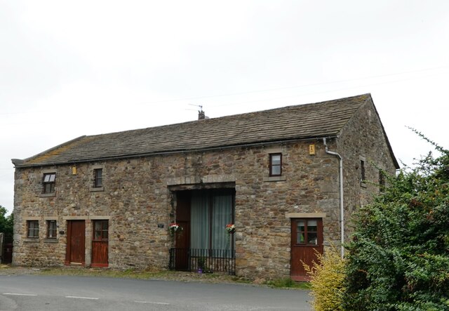
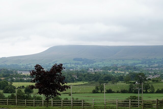
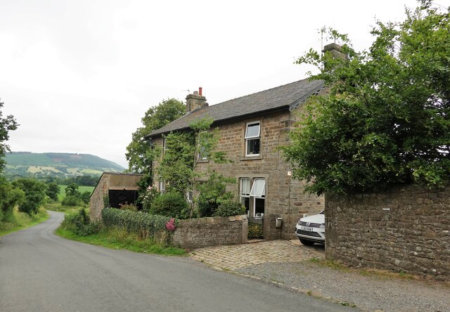
Fulshaw Wood Images
Images are sourced within 2km of 53.861802/-2.4223254 or Grid Reference SD7240. Thanks to Geograph Open Source API. All images are credited.


Fulshaw Wood is located at Grid Ref: SD7240 (Lat: 53.861802, Lng: -2.4223254)
Division: West Riding
Administrative County: Lancashire
District: Ribble Valley
Police Authority: Lancashire
What 3 Words
///novels.creatures.happen. Near Clitheroe, Lancashire
Nearby Locations
Related Wikis

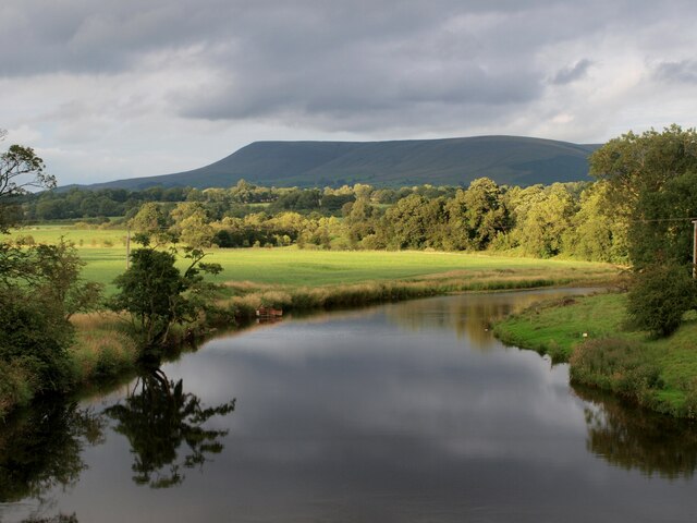
Pendleton Brook
Pendleton Brook is a small river in Lancashire. The brook rises on Pendleton Moor and flows through the village of Pendleton, travelling north west to...

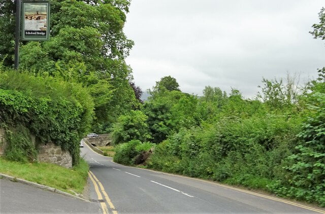
Edisford Bridge
Edisford Bridge (or Eadsford) is a toll-free, nine-span bridge over the River Ribble near Clitheroe, Lancashire, England. A Grade II listed structure and...

Bashall Brook
Bashall Brook is a minor river in Lancashire, England. It is 7.09 miles (11.41 km) long and has a catchment area of 6.86 square miles (1,777.68 ha).The...

Limy Water
The Limy Water is a minor river in Lancashire, England. It is 4.95 miles (7.96 km) long and has a catchment area of 7.71 square miles (1,996.33 ha).The...
Nearby Amenities
Located within 500m of 53.861802,-2.4223254Have you been to Fulshaw Wood?
Leave your review of Fulshaw Wood below (or comments, questions and feedback).