Fox Covert
Wood, Forest in Staffordshire Newcastle-under-Lyme
England
Fox Covert
Fox Covert is a picturesque woodland area located in Staffordshire, England. Situated in the heart of the county, the woodland covers an extensive area and is known for its dense forest and diverse range of wildlife. The area is characterized by its towering trees, including oak, beech, and birch, which create a peaceful and serene atmosphere.
The woodland is a popular destination for nature enthusiasts and outdoor lovers. It offers a variety of walking trails and paths, allowing visitors to explore the beauty of the forest and discover its hidden treasures. The trails are well-maintained and suitable for all levels of fitness, making Fox Covert an ideal location for a leisurely stroll or a more challenging hike.
Wildlife is abundant in Fox Covert, with numerous species calling the woodland home. Visitors may encounter foxes, deer, rabbits, and a wide array of bird species, including woodpeckers and owls. The woodland also boasts a rich variety of plant life, with wildflowers, ferns, and mosses adding color and texture to the forest floor.
For those seeking tranquility and a break from the hustle and bustle of everyday life, Fox Covert provides the perfect escape. The peaceful surroundings, coupled with the soothing sounds of nature, create an idyllic setting for relaxation and contemplation. Whether it's enjoying a picnic, birdwatching, or simply taking a moment to appreciate the beauty of the natural world, Fox Covert offers a sanctuary away from the stresses of modern living.
In summary, Fox Covert in Staffordshire is a stunning woodland area that captivates visitors with its lush forest, diverse wildlife, and tranquil ambiance. It is a haven for nature lovers and a place where one can reconnect with the beauty of the natural world.
If you have any feedback on the listing, please let us know in the comments section below.
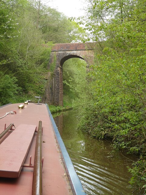
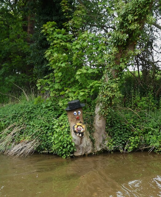
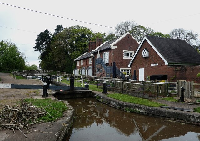
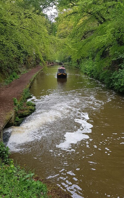
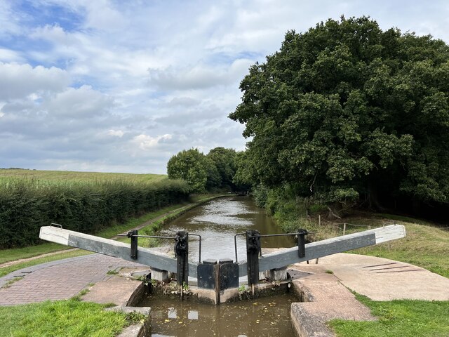
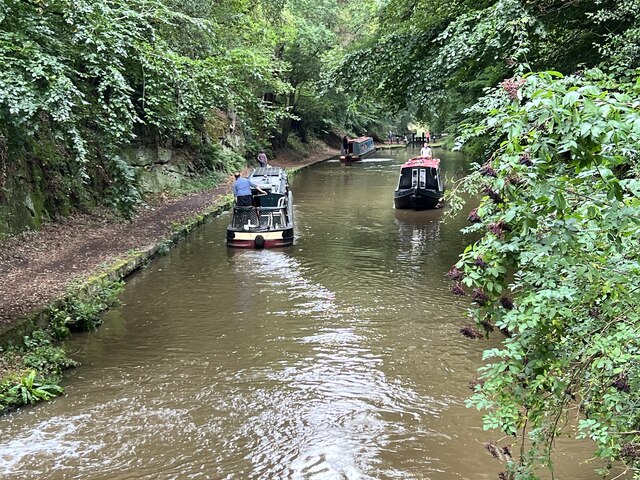
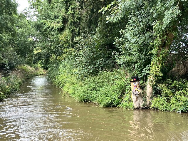
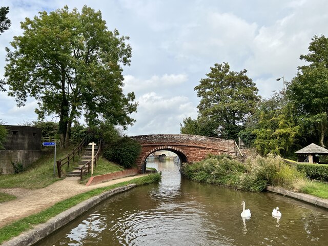
Fox Covert Images
Images are sourced within 2km of 52.893634/-2.4631777 or Grid Reference SJ6833. Thanks to Geograph Open Source API. All images are credited.
Fox Covert is located at Grid Ref: SJ6833 (Lat: 52.893634, Lng: -2.4631777)
Administrative County: Staffordshire
District: Newcastle-under-Lyme
Police Authority: Staffordshire
What 3 Words
///outreach.push.handsets. Near Market Drayton, Shropshire
Nearby Locations
Related Wikis
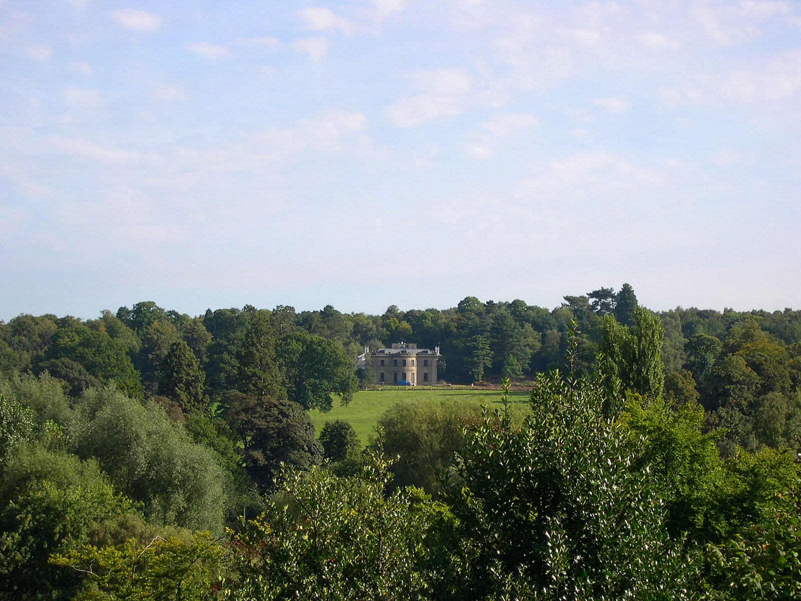
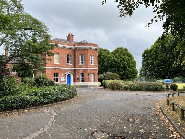
Pell Wall Hall
Pell Wall Hall is a neo-classical country house on the outskirts of Market Drayton in Shropshire. Faced in Grinshill sandstone, Pell Wall is the last completed...

Grove School, Market Drayton
Grove School is a coeducational secondary school and sixth form located in Market Drayton, Shropshire, England, for pupils aged between 11 and 18. In December...

St Mary's Church, Market Drayton
St Mary's Church, Market Drayton, stands on the top of a prominent outcrop of red sandstone rock above the River Tern. The church is recorded in the National...
Almington
Almington is a small village in Staffordshire, England. It is about 2 miles (3.2 km) east-northeast of Market Drayton by road, to the northwest of the...
Nearby Amenities
Located within 500m of 52.893634,-2.4631777Have you been to Fox Covert?
Leave your review of Fox Covert below (or comments, questions and feedback).