Bridport Road Plantation

Wood, Forest in Dorset

England

Bridport Road Plantation

Martinstown, Dorset - St Martin's Church
Martinstown, Dorset - St Martin's Church Credit: Colin Park

Bridport Road Plantation, located in Dorset, England, is a picturesque woodland area renowned for its natural beauty and rich biodiversity. Spanning across a vast expanse, this plantation is a popular destination for nature enthusiasts and outdoor enthusiasts alike.

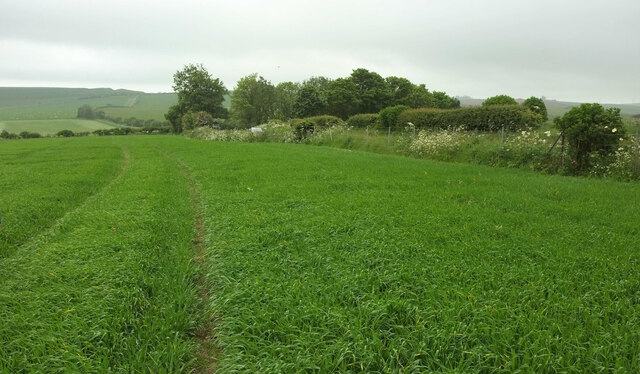
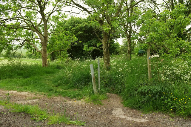
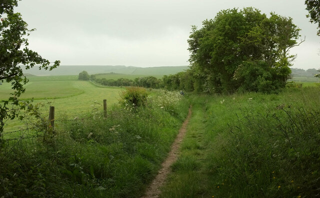
The woodland is primarily composed of mature oak trees, interspersed with occasional beech and birch trees. The tall, dense canopies provide a tranquil and shady atmosphere, making it an ideal spot for leisurely walks and picnics. The forest floor is covered in a thick carpet of moss, wildflowers, and ferns, creating a vibrant and colorful undergrowth.

Bridport Road Plantation is home to a diverse range of wildlife. Birdwatchers can spot various species of birds, including woodpeckers, owls, and thrushes, while animal lovers may catch a glimpse of squirrels, foxes, and deer roaming freely through the woodland. The plantation also harbors a variety of insects, such as butterflies and bees, contributing to the overall ecological balance of the area.

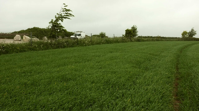
Visitors can explore the plantation through a network of well-maintained footpaths that wind through the forest, offering stunning views of the surrounding countryside. There are also designated areas for camping and picnicking, allowing visitors to immerse themselves in the tranquil ambiance of the woodland.

Overall, Bridport Road Plantation in Dorset is a cherished natural gem, offering a serene escape from the hustle and bustle of everyday life. With its diverse flora and fauna, it provides a perfect opportunity to reconnect with nature and appreciate the beauty of the English countryside.

If you have any feedback on the listing, please let us know in the comments section below.

Bridport Road Plantation Images

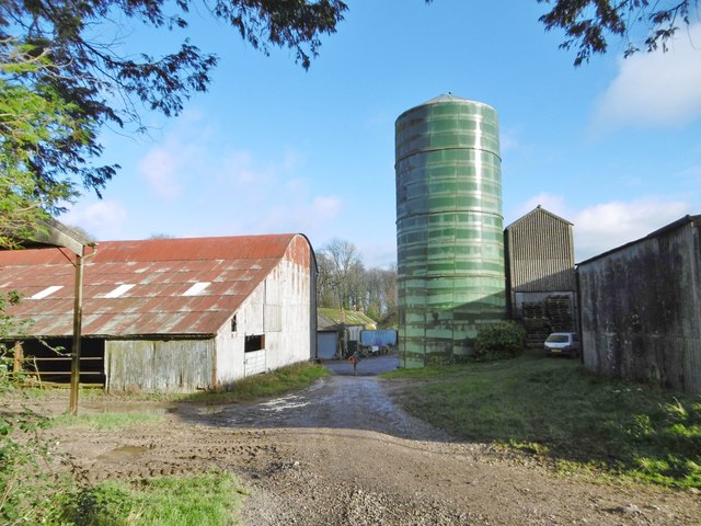
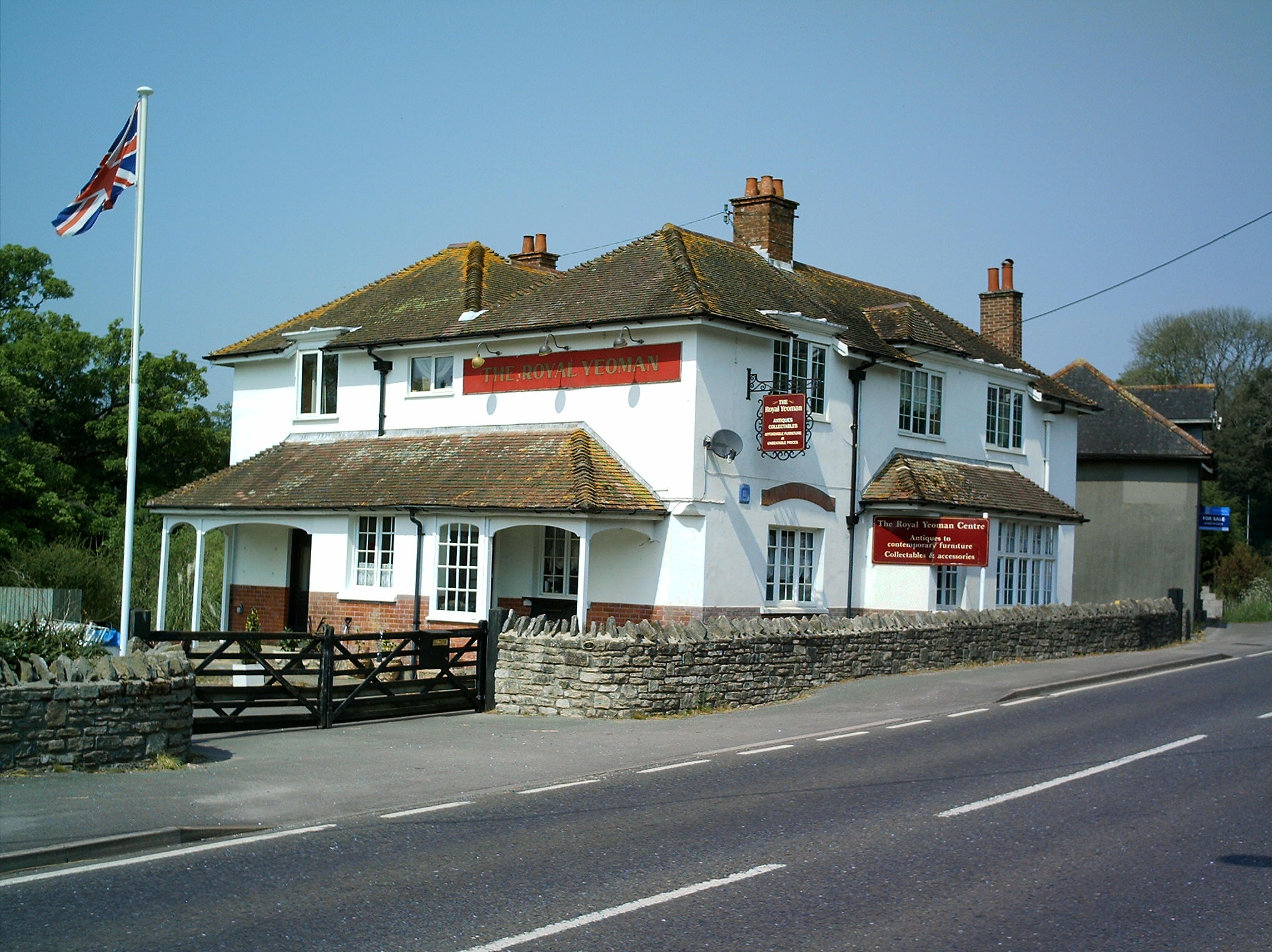
Images are sourced within 2km of 50.712864/-2.5032359 or Grid Reference SY6490. Thanks to Geograph Open Source API. All images are credited.

Martinstown, Dorset - St Martin's Church
Crop, Fordington Field Heading to meet the road on the right (from Poundbury to Martinstown) by the trees, where footpath S57 6 meets it. See <a href="https://www.geograph.org.uk/photo/7634854">SY6690 : Crop, Fordington Field</a>; we shouldn't be here, but no route through the crop along the correct line of the path has been provided, so we've had to walk further than anticipated.
Crop, Fordington Field
Heading to meet the road on the right (from Poundbury to Martinstown) by the trees, where footpath S57 6 meets it. See SY6690 : Crop, Fordington Field; we shouldn't be here, but no route through the crop along the correct line of the path has been provided, so we've had to walk further than anticipated.
Crop, Fordington Field This looks the other way from <a href="https://www.geograph.org.uk/photo/7634874">SY6690 : Crop, Fordington Field</a>. Trees bend as wind and rain arrive. The huge rocks on the left are at the start of the entrance road to the anaerobic digestion plant at Rainbarrow Farm.
Crop, Fordington Field
This looks the other way from SY6690 : Crop, Fordington Field. Trees bend as wind and rain arrive. The huge rocks on the left are at the start of the entrance road to the anaerobic digestion plant at Rainbarrow Farm.
Bridleway to Maiden Castle So that's not the field access track leading off to the left, but the path on the other side of it, which is bridleway S57 5.
Bridleway to Maiden Castle
So that's not the field access track leading off to the left, but the path on the other side of it, which is bridleway S57 5.
Bridleway to Maiden Castle Bridleway S57 5 follows a field boundary southwards. The field boundary is also the parish boundary between Winterborne Monkton (this side) and Winterborne St Martin. It's poor visibility but the outline of Maiden Castle is on the horizon.
Bridleway to Maiden Castle
Bridleway S57 5 follows a field boundary southwards. The field boundary is also the parish boundary between Winterborne Monkton (this side) and Winterborne St Martin. It's poor visibility but the outline of Maiden Castle is on the horizon.
St Michael's Church, Winterbourne Steepleton This church has a very rare feature, a stone steeple (from which the village gets part of its name). There are only two other stone steeples in the country.

It is interesting to note that back in 1966 the church was hidden by high hedges. More recent photos show a church much more open to view.
St Michael's Church, Winterbourne Steepleton
This church has a very rare feature, a stone steeple (from which the village gets part of its name). There are only two other stone steeples in the country. It is interesting to note that back in 1966 the church was hidden by high hedges. More recent photos show a church much more open to view.
Bradford Peverell, permissive bridleway According to a noticeboard, part of a scheme to restore the area with natural grass and woodland.
Bradford Peverell, permissive bridleway
According to a noticeboard, part of a scheme to restore the area with natural grass and woodland.
Bradford Peverell, farm road Road and bridleway, from Muckleford to Bridport Road.
Bradford Peverell, farm road
Road and bridleway, from Muckleford to Bridport Road.
Bradford Peverell, cropland Winter cereals.
Bradford Peverell, cropland
Winter cereals.
Bradford Peverell, Lower Skippet Farm
Bradford Peverell, grazing Black sheep and horses grazing together in a field at Lower Skippet Farm.
Bradford Peverell, grazing
Black sheep and horses grazing together in a field at Lower Skippet Farm.
Bradford Peverell, Park Belt A belt of trees screening the West side of Westwood House.
Bradford Peverell, Park Belt
A belt of trees screening the West side of Westwood House.
Bradford Peverell, farm road Farm road and bridleway, from Muckleford to Bridport Road.
Bradford Peverell, farm road
Farm road and bridleway, from Muckleford to Bridport Road.
Bradford Peverell, cropland A field of brassicas; Park Belt in the distance.
Bradford Peverell, cropland
A field of brassicas; Park Belt in the distance.
Bradford Peverell, farm road Farm road and bridleway, from Lower Skippet Farm to Bridport Road.
Bradford Peverell, farm road
Farm road and bridleway, from Lower Skippet Farm to Bridport Road.
Bradford Peverell, bridleway junction Left, to Lower Skippet Farm; ahead, to Bradford Peverell; right, to Tilly Whim Lane.
Bradford Peverell, bridleway junction
Left, to Lower Skippet Farm; ahead, to Bradford Peverell; right, to Tilly Whim Lane.
Bradford Peverell, timber Awaiting collection by the roadside.
Bradford Peverell, timber
Awaiting collection by the roadside.
Bradford Peverell, Combe Bottom A shallow valley with cattle grazing.
Bradford Peverell, Combe Bottom
A shallow valley with cattle grazing.
Show me another place!

Bridport Road Plantation is located at Grid Ref: SY6490 (Lat: 50.712864, Lng: -2.5032359)

Unitary Authority: Dorset

Police Authority: Dorset

What 3 Words

///stocked.schooling.rats. Near Charminster, Dorset

Nearby Locations

Bridport Road Plantation

Related Wikis

Winterborne St Martin

Winterborne St Martin, commonly known as Martinstown, is a village and civil parish in southwest Dorset, England, situated 4 miles (6.4 km) southwest of...

Clandon Barrow

Clandon Barrow is a very large bowl barrow dating from the Bronze Age, which overlooks the village of Martinstown, near Dorchester in Dorset, and which...

Winterbourne Steepleton

Winterbourne Steepleton is a village and civil parish in south west Dorset, England, situated in a winterbourne valley 5 miles (8.0 km) west of Dorchester...

Grimstone, Dorset

Grimstone is a hamlet at the confluence of Sydling Water and the River Frome in the western part of the civil parish of Stratton, Dorset. The Great Western...

Nearby Amenities

Located within 500m of 50.712864,-2.5032359
Material: wood
Pole: transition
Power: pole
Switch: yes
Transformer: distribution
Lat/Long: 50.7114782/-2.5030201
Direction: 185
Generator Method: photovoltaic
Generator Output Electricity: yes
Generator Solar Modules: 16
Generator Source: solar
Generator Type: solar_photovoltaic_panel
Location: roof
Power: generator
Lat/Long: 50.7111698/-2.4996264
Direction: 175
Generator Method: photovoltaic
Generator Output Electricity: yes
Generator Solar Modules: 4
Generator Source: solar
Generator Type: solar_photovoltaic_panel
Location: roof
Power: generator
Lat/Long: 50.7115804/-2.4995667
Direction: 175
Generator Method: photovoltaic
Generator Output Electricity: yes
Generator Solar Modules: 4
Generator Source: solar
Generator Type: solar_photovoltaic_panel
Location: roof
Power: generator
Lat/Long: 50.711577/-2.4996686
Direction: 175
Generator Method: photovoltaic
Generator Output Electricity: yes
Generator Solar Modules: 6
Generator Source: solar
Generator Type: solar_photovoltaic_panel
Location: roof
Power: generator
Lat/Long: 50.7115199/-2.4997756
Power: pole
Source: bing
Lat/Long: 50.7172138/-2.5041774
The data included in this document is from www.openstreetmap.org. The data is made available under ODbL.

Have you been to Bridport Road Plantation?

Leave your review of Bridport Road Plantation below (or comments, questions and feedback).