Sand Quarry Wood
Wood, Forest in Yorkshire Craven
England
Sand Quarry Wood
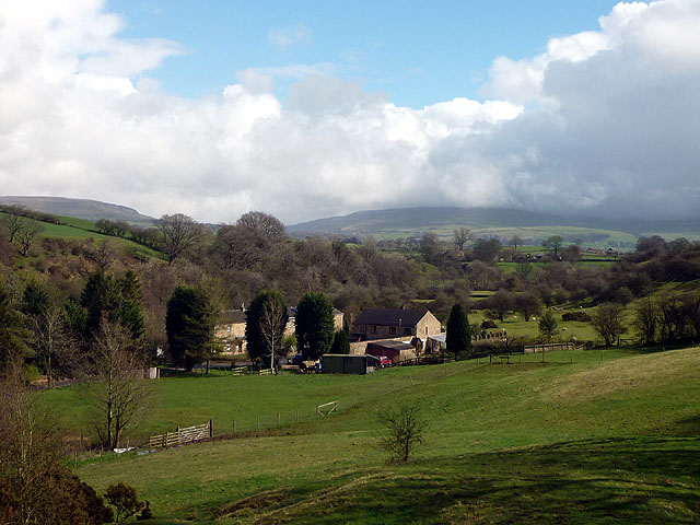
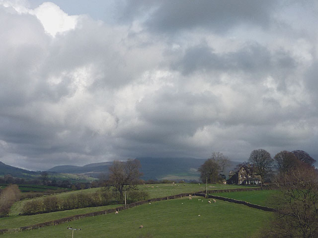
Sand Quarry Wood is a picturesque woodland situated in Yorkshire, England. Spanning over a large area, this enchanting forest is a haven for nature enthusiasts and hikers alike.
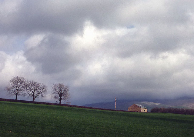
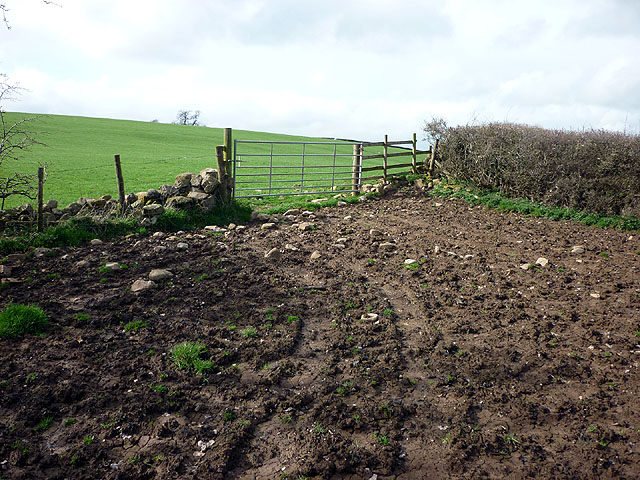
The wood gets its name from the historical sand quarry that once operated in the area. Today, the quarry has been reclaimed by nature, resulting in a unique landscape that combines dense woodland with open areas. The trees in the wood are predominantly oak and beech, providing a lush and verdant canopy that offers shade during the summer months.
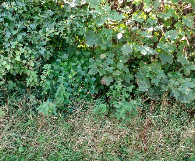
Sand Quarry Wood is known for its diverse flora and fauna. The forest floor is carpeted with a variety of wildflowers, including bluebells and primroses, creating a vibrant and colorful display. The wood also provides a habitat for a range of animal species, including deer, foxes, and a multitude of bird species.
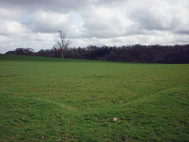
Trails wind their way through the wood, allowing visitors to explore the area at their own pace. These paths offer breathtaking views of the surrounding countryside and provide opportunities for birdwatching and wildlife spotting. Additionally, the wood is intersected by a small stream, further enhancing the tranquil and serene atmosphere.
Sand Quarry Wood is a popular destination for outdoor activities such as hiking, picnicking, and photography. The wood offers a peaceful retreat from the hustle and bustle of daily life, providing visitors with a chance to connect with nature and enjoy the beauty of Yorkshire's countryside.
If you have any feedback on the listing, please let us know in the comments section below.
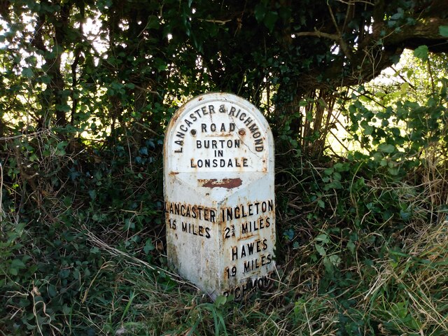
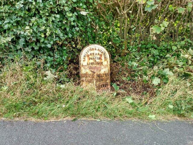
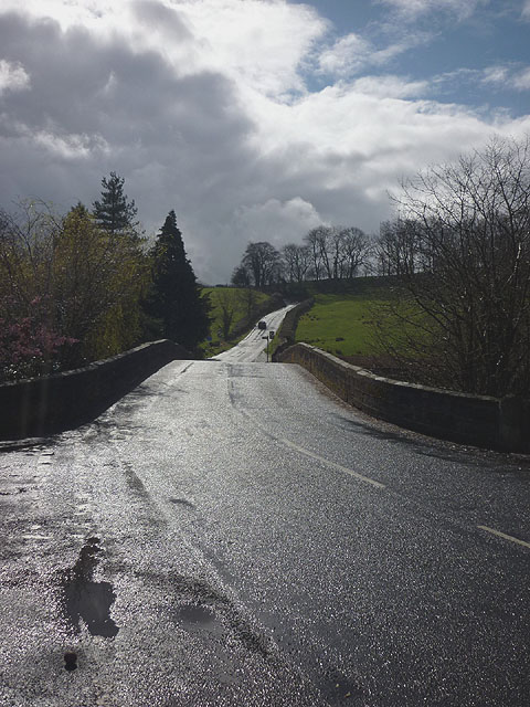
Sand Quarry Wood Images
Images are sourced within 2km of 54.143539/-2.5473931 or Grid Reference SD6472. Thanks to Geograph Open Source API. All images are credited.
Sand Quarry Wood is located at Grid Ref: SD6472 (Lat: 54.143539, Lng: -2.5473931)
Division: West Riding
Administrative County: North Yorkshire
District: Craven
Police Authority: North Yorkshire
What 3 Words
///dusters.composed.forgot. Near High Bentham, North Yorkshire
Nearby Locations
Related Wikis

Burton in Lonsdale Castle
Burton in Lonsdale Castle was in the village of Burton in Lonsdale in North Yorkshire, England (grid reference SD649721). The Pipe Rolls for the reign...

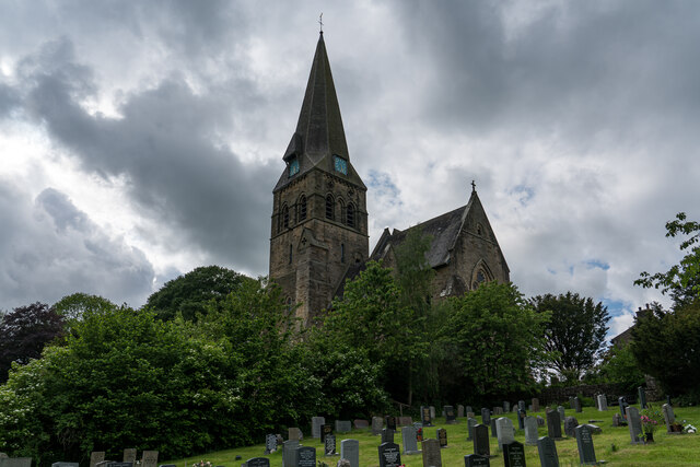
All Saints Church, Burton in Lonsdale
All Saints Church is in the village of Burton in Lonsdale, North Yorkshire, England. It is an active Anglican parish church in the deanery of Ewecross...

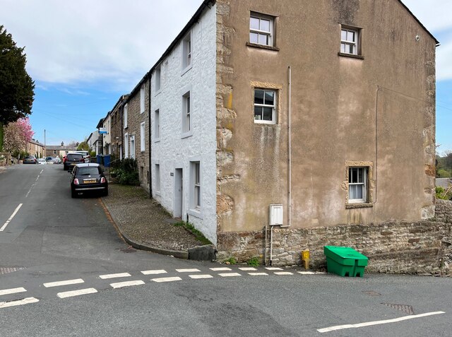
Burton in Lonsdale
Burton in Lonsdale is a village and civil parish in the Craven District of North Yorkshire, England, close to the border with Lancashire and Cumbria....

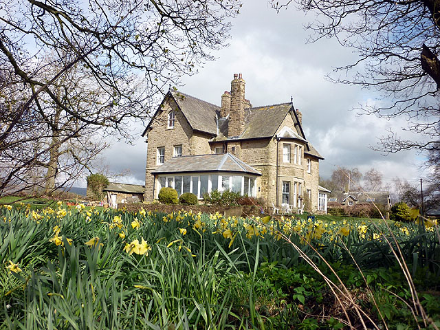
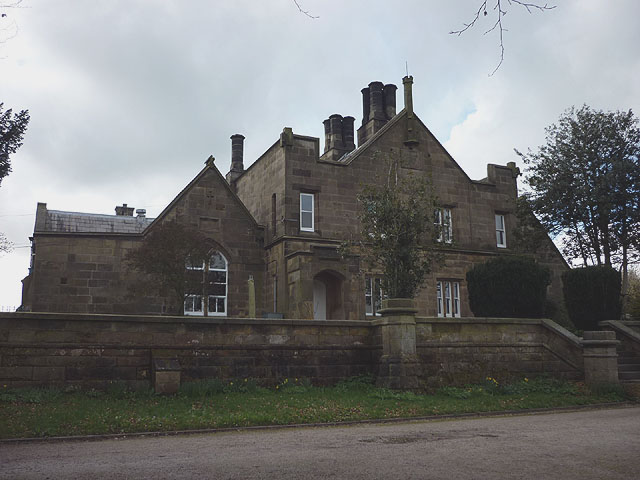
The Ridding
The Ridding is a Victorian country house located in the village of Bentham, North Yorkshire, England. It is recorded in the National Heritage List for...
Cantsfield
Cantsfield is a hamlet and civil parish in the City of Lancaster, in Lancashire, England, near the boundary with North Yorkshire. It is situated near the...

Bentham Grammar School
Bentham Grammar School was an independent school in Bentham, North Yorkshire, England. The school was founded in 1726 but closed in 2002 due to dwindling...

Low Bentham railway station
Low Bentham railway station served the village of Low Bentham, North Yorkshire, England, from 1850 to 1853 on the "Little" North Western Railway. ��2...

Wennington Hall
Wennington Hall is a former country house in Wennington, a village in the City of Lancaster district in Lancashire, England. The house is a Grade II listed...
Related Videos

BURTON IN LONSDALE LOOP
Hello Jamie here and with another video. Close to our cottage is Burton In Lonsdale. A small but nice village, we walked to and ...

VE Day Burton In Lonsdale Streets
The Burton in Lonsdale streets as decorated for VE Day's 75th Anniversary. This was taken before the socially distanced (keeping ...
Nearby Amenities
Located within 500m of 54.143539,-2.5473931Have you been to Sand Quarry Wood?
Leave your review of Sand Quarry Wood below (or comments, questions and feedback).